














Ardbeg Heights of Brae
ARDBEG HEIGHTS of BRAE: Private airstrip
Note: Although I have listed this as being in the County of ROSS-SHIRE, it could be within a detached part of CROMARTYSHIRE. Do please mostly ignore any markings looking like Counties on most modern maps, as they are mostly administrative areas.
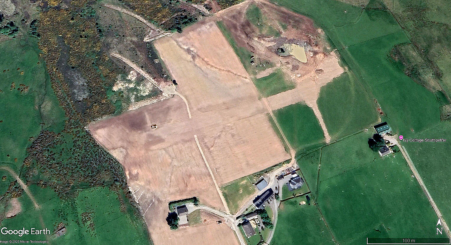
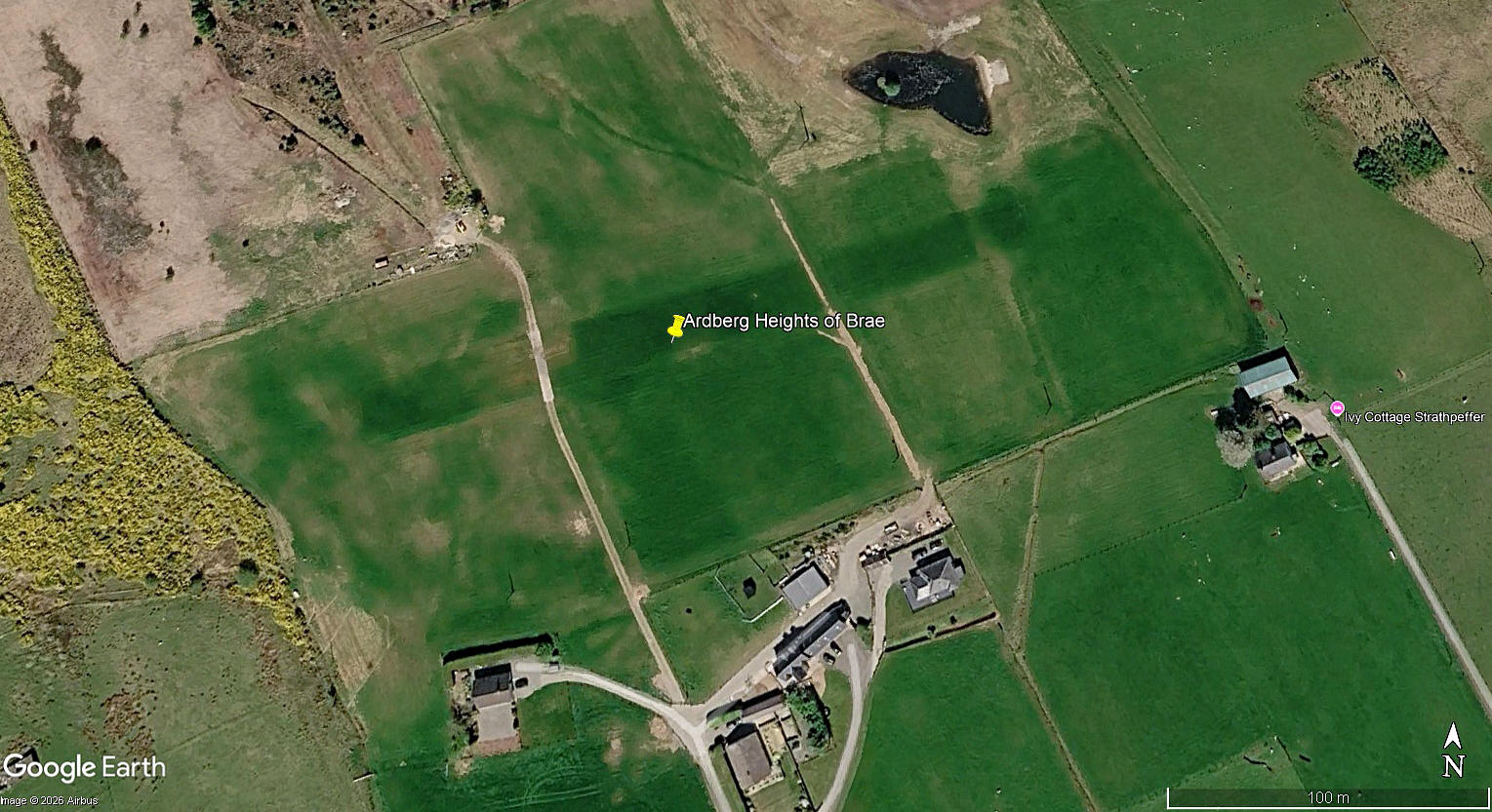
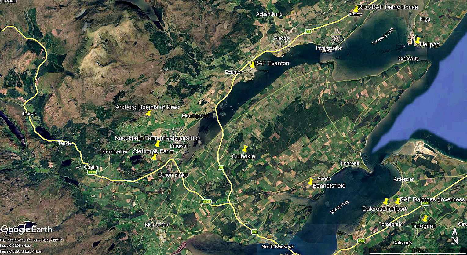
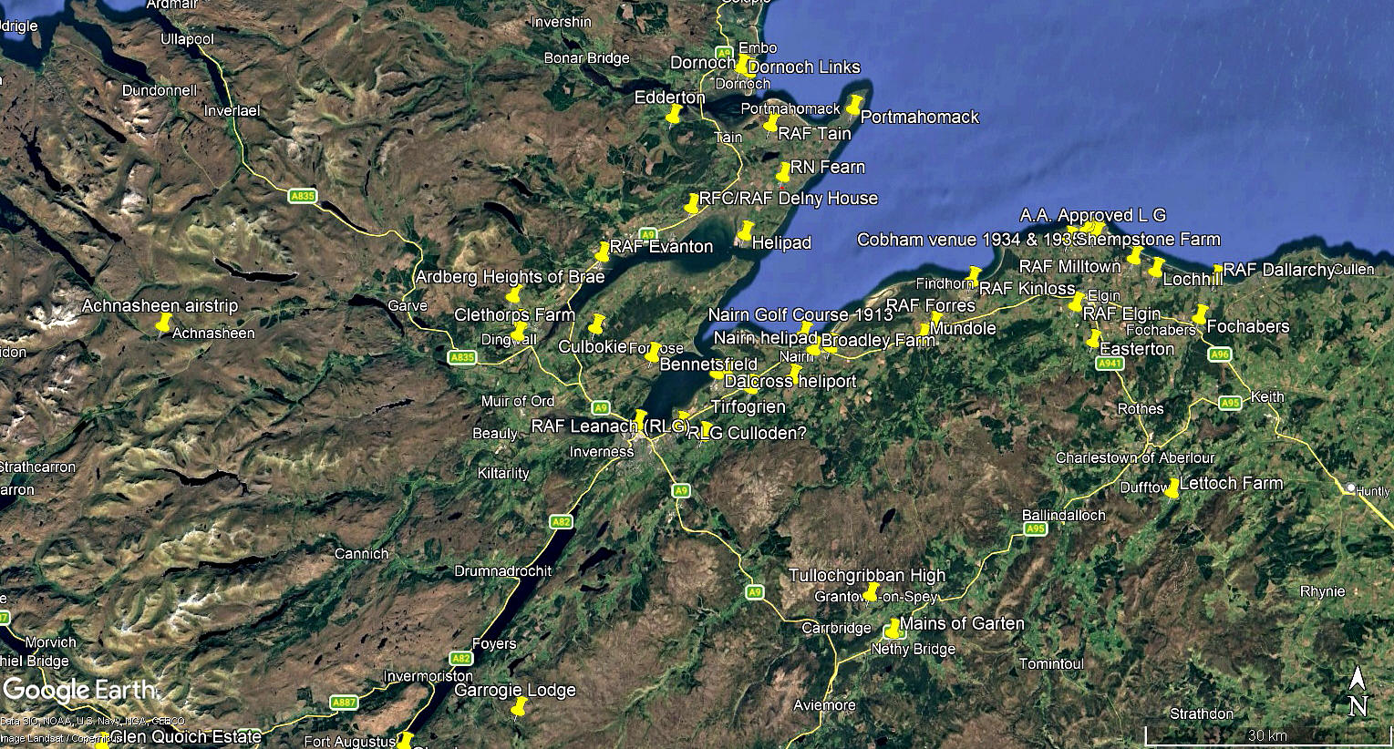
These pictures are from my Google Earth© derived database.
Operated by: Mr Alan M Cameron
Location: About 2.25nm NW of Dingwall town centre
Period of operation: From 2025 to -
Runway: 07/25 250 grass
NOTES: We have Mr Graham Frost, a great long-term friend of this 'Guide', to thank for pointing out this location which he described as being STRATHPEFFER. He had been tracking the Zenair CH750 G-ICAN when it disappeared near here, and asked me for my opinion. I soon decided that this was indeed, in 2026, a very recent airstrip.
After looking into this, two main aspects emerged. The first and most important was that I noticed that G-ICAN had been built by Aerobility, a most deserving registered charity founded in 1993, and devoted to enabling even seriously disabled people, including those with a terminal illness but not disabled, to learn to fly. Some have now gained their PPL, no doubt including Mr Cameron.
So, safe enough to presume (?) that during undergoing training, Mr Cameron decided to have his own airstrip laid out where he could base his Zenair at.
SO, WHAT TO CALL IT?
I had the pictures all captioned as STRATHPEFFER and ready to go, when I noticed that there was a village named Strathpeffer about 3nm SW of this location. This has often been a constant problem in producing this 'Guide' - what the hell was/is the bloody place called? And, when two or three options came up, which one should I list it as? Tried to use some judgement of course, but suspect that the less scientific "eany-meany-miney-mo" method could serve just as well?
Postal addresses are not related to geographical areas, and often give an address even in a different County!
In this case it proved to be quite simple to resolve as I looked up the address for G-ICAN in the Civil Aircraft Register, which was:
New House, Ardbeg Heights of Brae, Strathpeffer.
EXTRA NOTES
If anybody can kindly offer advice and information, this will be much appreciated. Pictures are most welcome.
We'd love to hear from you, so please scroll down to leave a comment!
Leave a comment ...
Copyright (c) UK Airfield Guide
