














Barling East
BARLING EAST: Private airfield


Note: All six of these pictures were obtained from Google Earth ©. (See notes below)


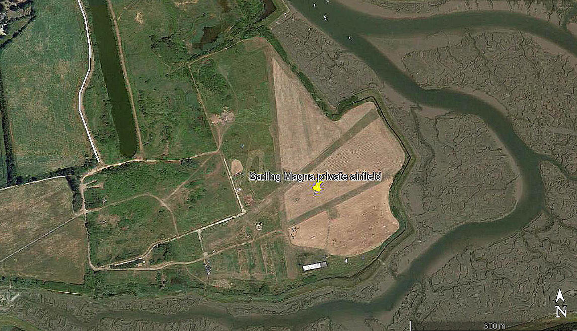
Location: About 0.5nm SE of Barling village, roughly 4nm E of Southend airport
Runways: 1999: 07/25 330 grass (The same in 2003)
2006: 07/25 300 grass 18/36 475 grass
2013: 18/36 475 grass 07/25 315 grass 05/23 290 grass*
*Note: I could well be mistaken of course, but the 2013 picture above certainly appears to show this runway, displaced to the west of the main site?
2018: 18/36 485 grass 05/23 430 grass 07/25 235 grass
EXTRA PICTURES
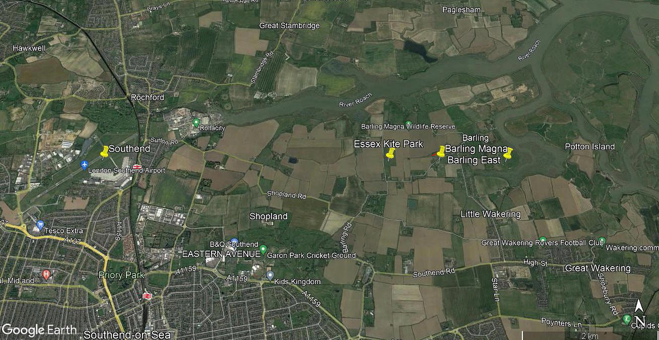
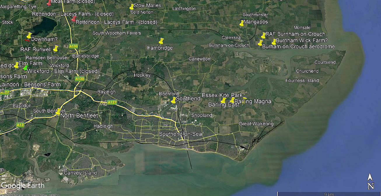
Note: These are from my Google Earth © derived database.
NOTES: Right from the start when I began research for this project over twenty years ago, it was soon apparent that I would often have the problem of what to name many locations. Indeed, in some cases even local people have different names for the same site. When I added the first six pictures a few years ago I captioned them as BARLING MAGNA - only to later realise that this created confusion with a private airstrip closer to the village.
See seperate entry for BARLING MAGNA.
So, if you can kindly bear with me, and avioding the pain of recaptioning all six pictures, this listing is, as you can see - renamed BARLING EAST
If anybody can kindly offer advice, this will be most welcome. Pictures are of course always much appreciated. (Preferably as jpgs with a maximum file size of 500KB).
We'd love to hear from you, so please scroll down to leave a comment!
Leave a comment ...
Copyright (c) UK Airfield Guide
