Blooms Farm - UK Airfield Guide

Now having 7,000 + listed!

Probably becoming the most extensive British flying sites guide online...?

portfolio1 portfolio2 portfolio3 portfolio4

Heading 1

This is an example of the content for a specific image in the Nivo slider. Provide a short description of the image here....

Heading 2

This is an example of the content for a specific image in the Nivo slider. Provide a short description of the image here....

Heading 3

This is an example of the content for a specific image in the Nivo slider. Provide a short description of the image here....

Heading 4

This is an example of the content for a specific image in the Nivo slider. Provide a short description of the image here....

small portfolio1 small portfolio2 small portfolio3 small portfolio4
themed object
A Guide to the history of British flying sites within the United Kingdom
get in touch

Blooms Farm


BLOOMS FARM:  Private airstrip     (Aka SIBLE HEDINGHAM)
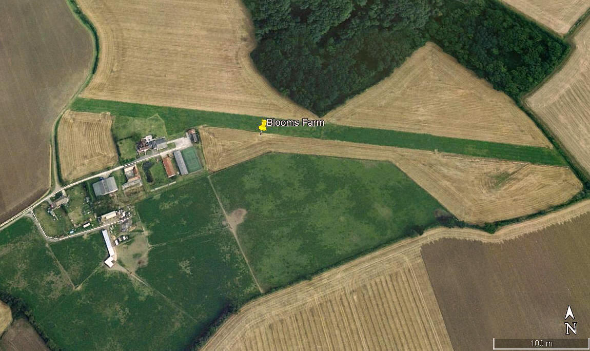
Aerial view 2000
Aerial view 2000
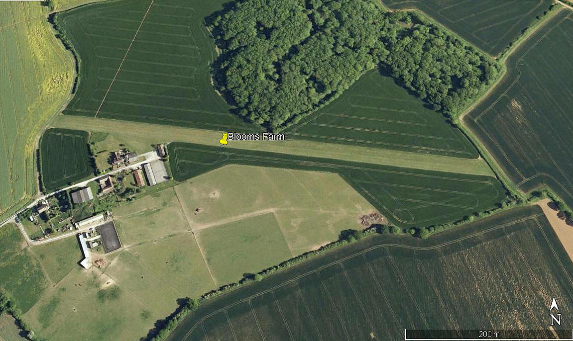
Aerial view 2009
Aerial view 2009
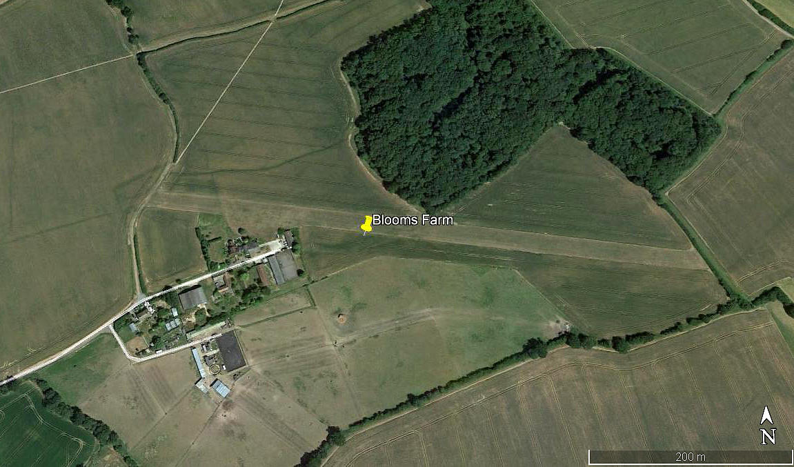
Aerial view 2018
Aerial view 2018
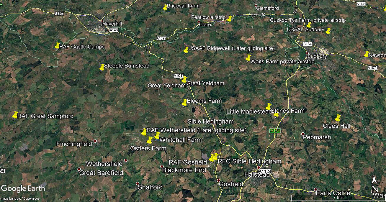
Area view
Area view

Note:  These four pictures were obtained from Google Earth ©


Location:  W of the A1017, about 2nm NW of Sible Hedingham village, and roughly 5nm NW of Halstead town centre  

Period of operation:  1990s (?) to -


Runway:  10/28   610   grass


NOTES:  The initial information was obtained from the excellent book; ESSEX: A Hidden Aviation History by Paul Bingham and Richard E. Flagg


We'd love to hear from you, so please scroll down to leave a comment!


Leave a comment ...


Name
 
Email:
 
Message:


Copyright (c) UK Airfield Guide


slide up button