


Berrow
BERROW: Private airstrip (Aka AUBREYS FARM)
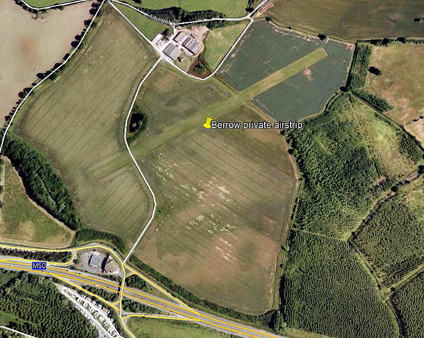
Aerial view 2005
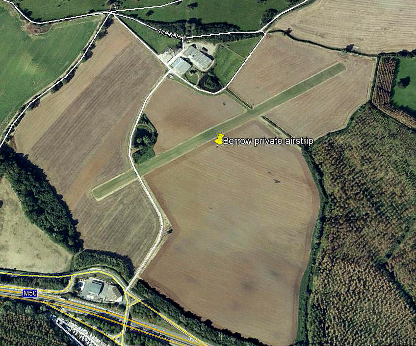
Aerial view 2009
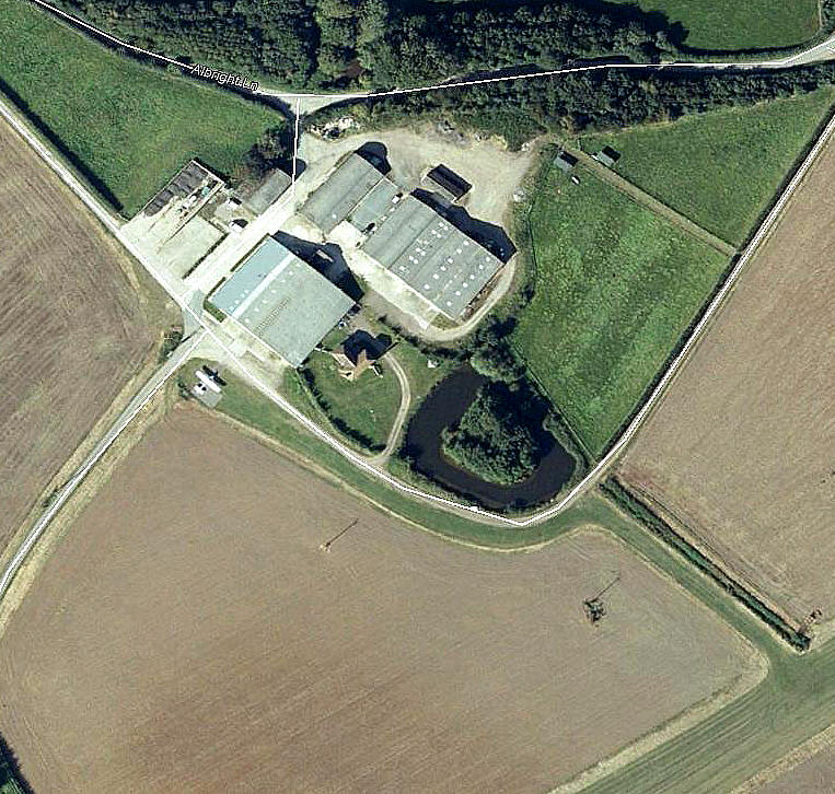
Aerial detail 2009
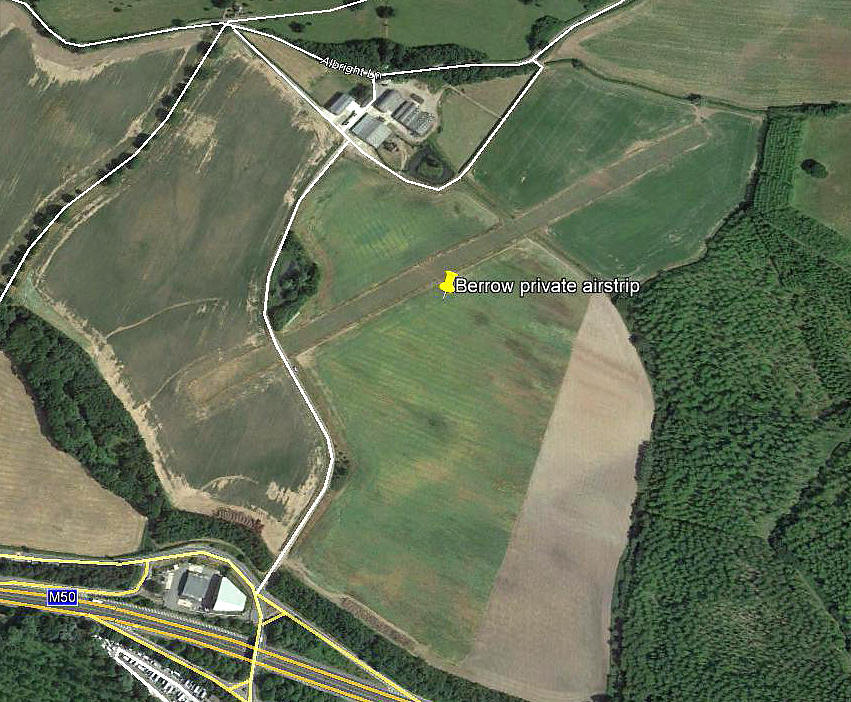
Aerial view 2013
Note: These six pictures were obtained from Google Earth ©
Location: Just SE of Bromsberrow village and N of the M50 service area
Period of operation: Early 2000s to -
Runway: 06/24 700x30 grass
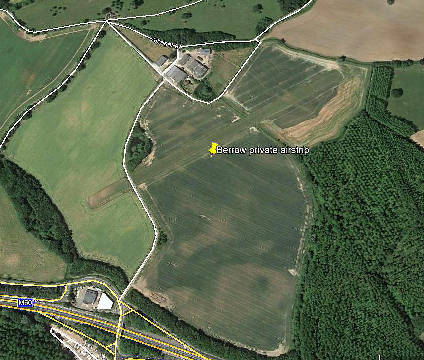
Aerial view 2018
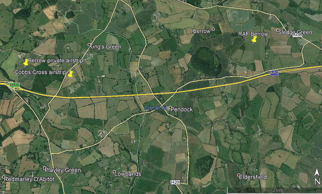
Area view 2018
The second picture shows the relationship to both the nearby COBBS CROSS airstrip, just to the east, and also the WW2 BERROW SLG (Satellite Landing Ground) which is further east.
NOTES: This strip appeared on the half-mil charts in the 2000s. Is anything else known?
We'd love to hear from you, so please scroll down to leave a comment!
Leave a comment ...
Copyright (c) UK Airfield Guide
