














Bucknall flying sites
Note: This map only shows the location of the WW1 aerodrome.
BUCKNALL: Military Landing Ground (In WW1 aka HORNCASTLE)
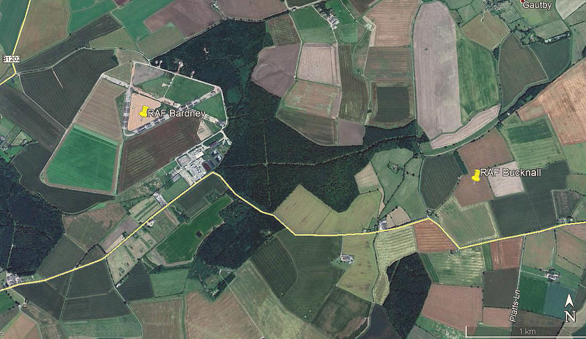
Note: This picture was obtained from Google Earth ©
Here, once again, I have the Airfields of Britain Conservation Trust web-site to help in pin-pointing this location.
Military user: RFC/RAF (Royal Flying Corps / Royal Air Force)
33 [Home Defence] Sqdn (Royal Aircraft Factory BE.2 and FE.2 types. Later Bristol F2B Fighters and later still Avro 504 night fighters)
Note: I have no idea which of these types might have used BUCKNALL. I suspect they all did but advice will be most welcome.
Location: Bucknall village is on the B1190 about 5nm W of Horncastle, and the aerodrome was roughly 1nm to the N
Period of operation: 1916 to 1919
Site area: 36 acres 549 x 274
BUCKNALL: Private microlight airfield
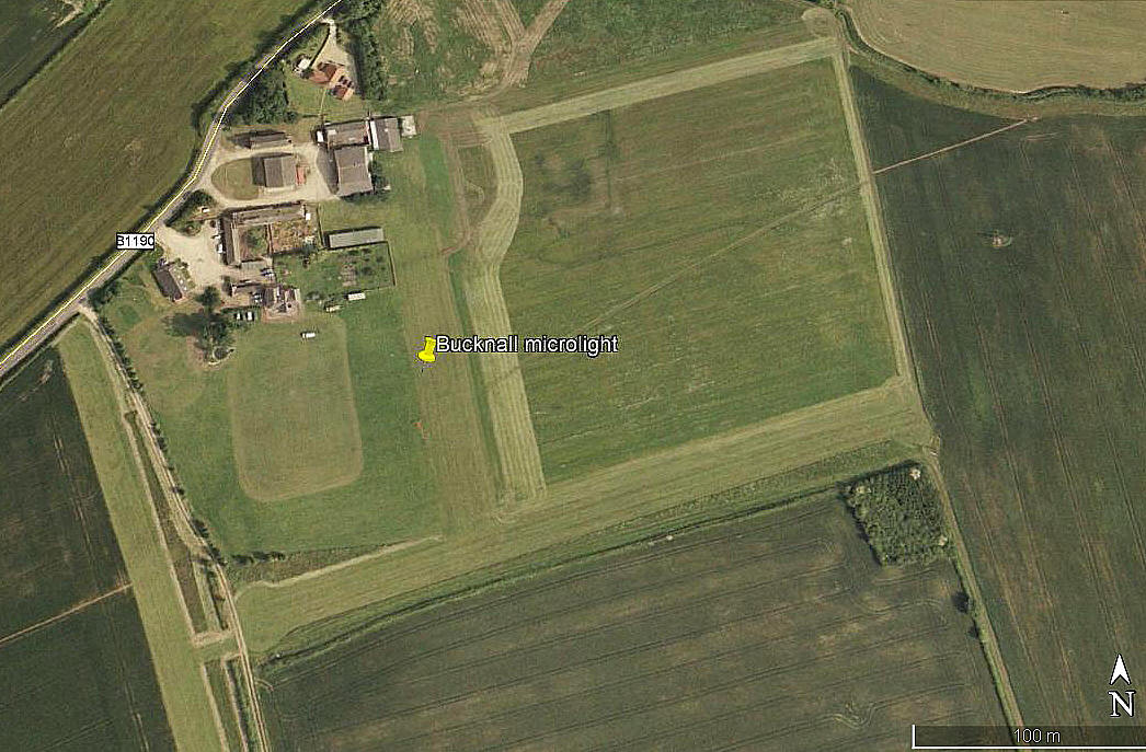

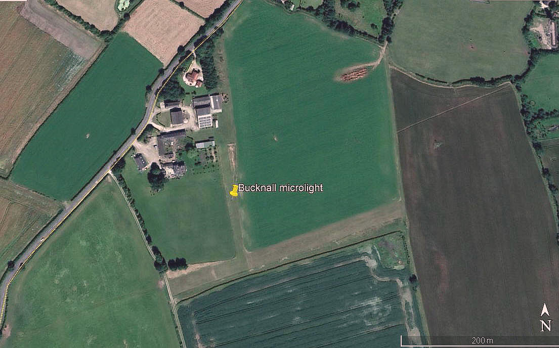
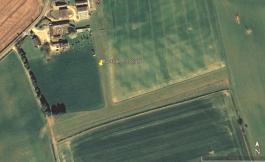
Note: All four of these pictures were obtained from Google Earth ©
Operated by: ?
Location: Just S of Bucknall village
Period of operation: From the early 2000s only?
Runways: 07/25 320 grass 17/35 180 grass
Note: The 17/35 runway, (if that is what it is?) appears to double as a taxiway to the main 07/25 runway.
The second picture from 2006 is interesting because it appears to show three rather narrow subsidiary runways laid out:
02/20 255 grass 08/26 225 grass 12/30 225 grass
If anybody can kindly offer advice, this will be most welcome.
NOTES: The initial info sources were the AAIB reports EW/G2006/02/02 & EW/C2006/08/02 where BUCKNALL is mentioned.
We'd love to hear from you, so please scroll down to leave a comment!
Leave a comment ...
Copyright (c) UK Airfield Guide
