














Bude flying sites
Note: This map provides the location of Broadclose Farm
BUDE see also CLEAVE
BUDE see also WHALESBOROUGH
BUDE: Temporary flying site, possibly on the beach?
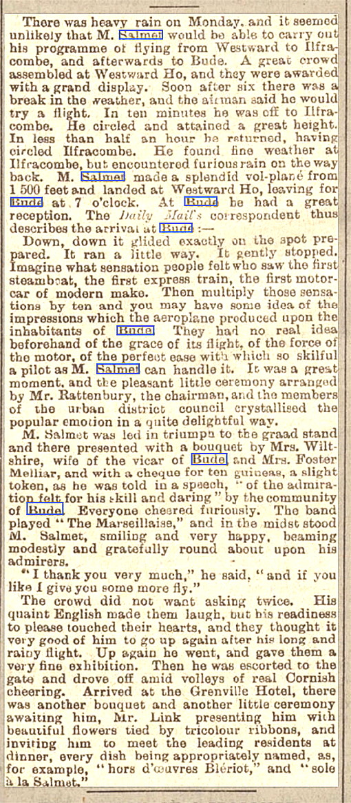
NOTES: On the 10th June 1912, just before dusk, Henri Salmet arrived from WESTWARD HO!, (My note: See NORTHAM BURROWS also), to be greeted with a civic reception. A band played the ‘Marsellaise’ and ‘sole a la Salmet’ was served in his honour at the dinner. Salmet was a famed French aviator and had been sponsored by the Daily Mail to conduct a tour of the 'West Country' in his 50hp Blériot monoplane. Does anybody now know where Salmet actually landed to make his display?
In May 2019 I was kindly contacted by Ray Boyd who told me that Salmet landed, "At the exhibition in a field behind Broadclose Farm." The Google map above shows the location in Bude.
This 'Guide' is of course constantly being added to, amended, and hopefully - enhanced in all kinds of ways. A great example being the splendid contribution kindly provided by Mike Holder below, a great friend of this 'Guide', which was added in May 2022.
A MICHAEL T HOLDER GALLERY

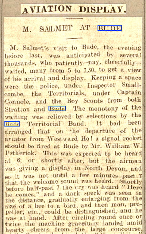
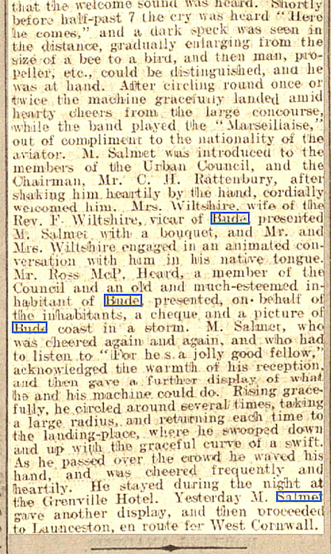

Note: The newspaper article, in two parts to make it easier to read, was published in the Exeter and Plymouth Gazette on the 12th June 1912.
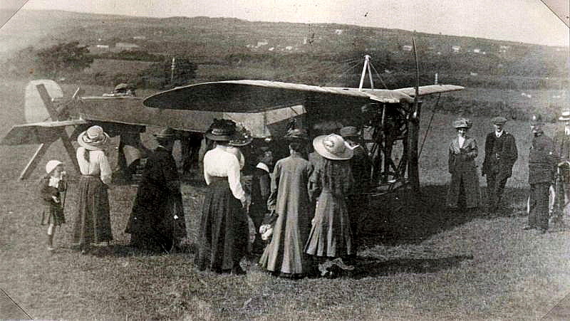
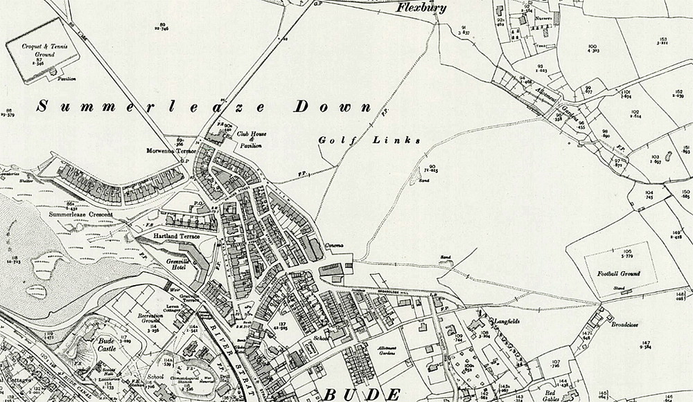
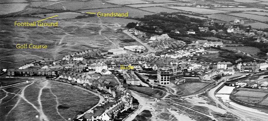
Note: The seventh item, a newspaper article, was published in the North Devon Journal on the 13th June 1912.
BUDE: Military Airship Mooring-out Station
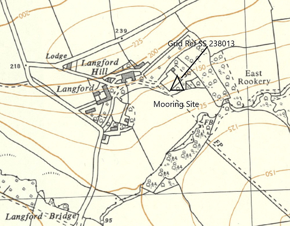
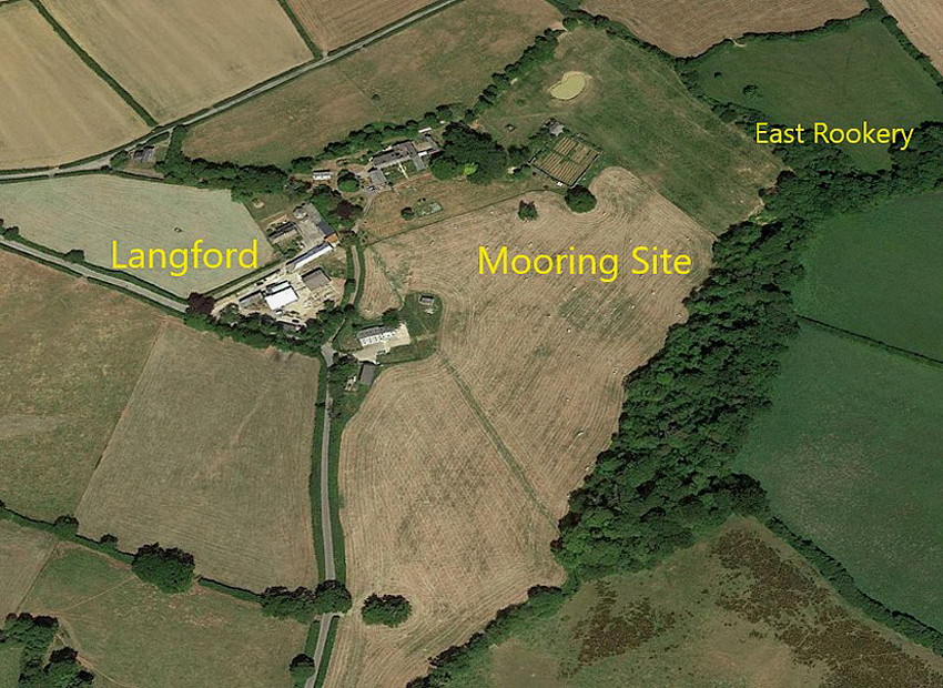
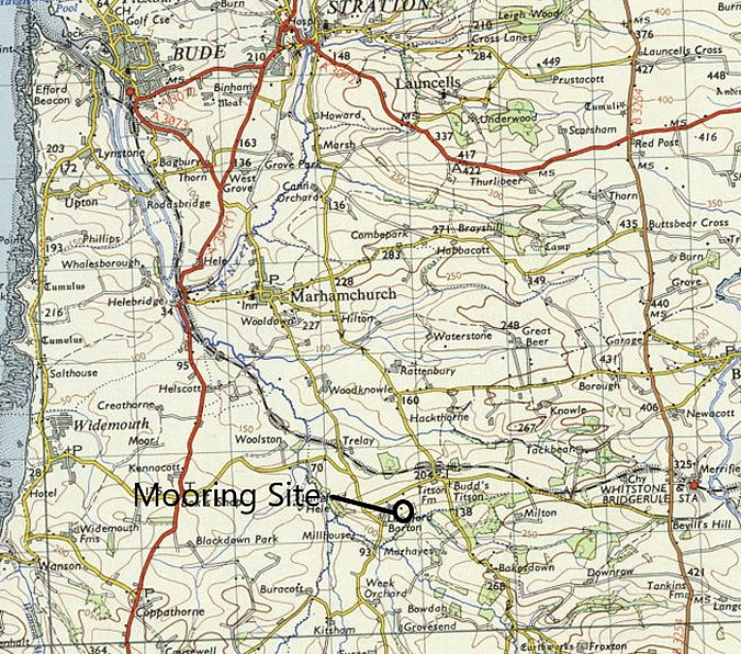
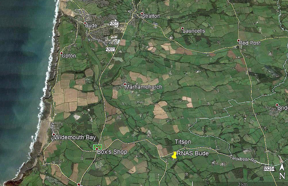
Note: The first three items have been kindly provided, in September 2021, by Mr Michael T Holder. The fourth picture was obtained a few years ago from Google Earth © and here again I have the Airfields of Britain Conservation Trust web-site to help me pin-point this location.
Military user: RAF (Sub-Station to MULLION)
Location: Just S of Titson, about 3.5nm SE of Bude town centre
Period of operation: 1918 to 1919
BUDE: Temporary aerodrome (See WHALESBOROUGH entry)
Operated by: Alan Cobham’s 1933 No.1 Tour of the UK
Location: Between Whalesborough Farm and the coast
Period of operation: 1st September 1933
We'd love to hear from you, so please scroll down to leave a comment!
Leave a comment ...
Copyright (c) UK Airfield Guide
