Burnt Mill
BURNT MILL: Private airstrip
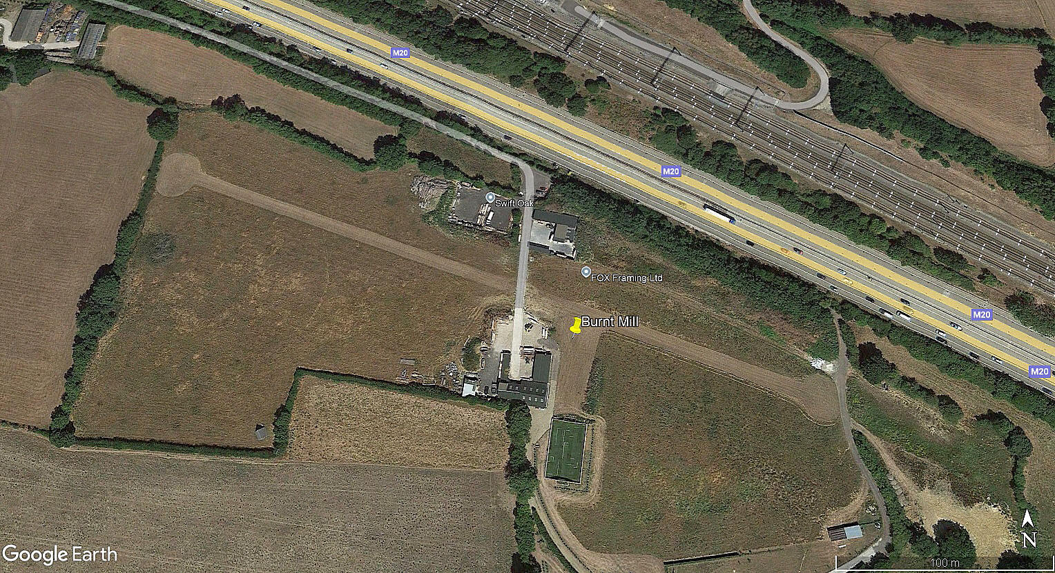
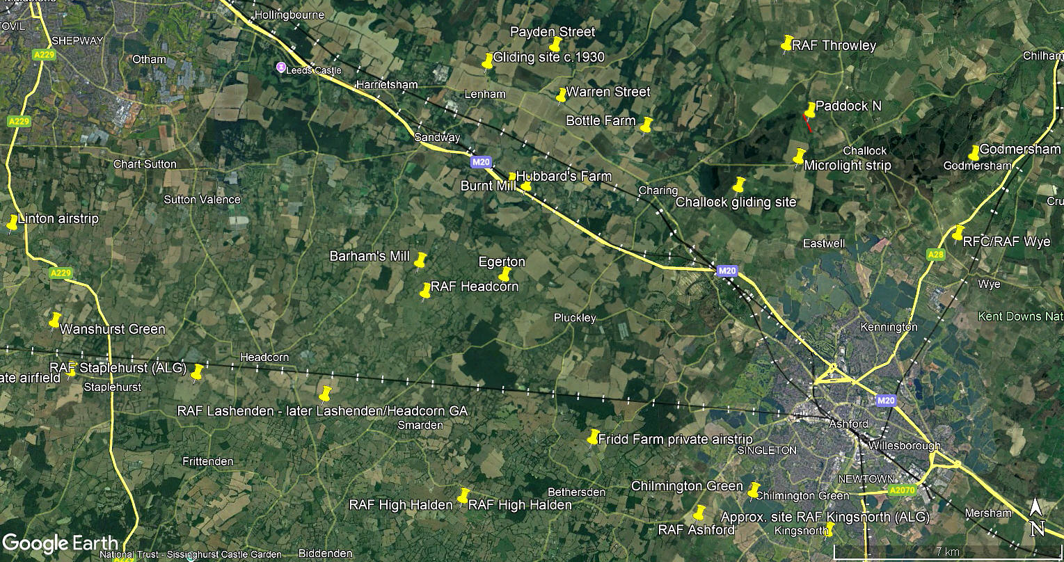
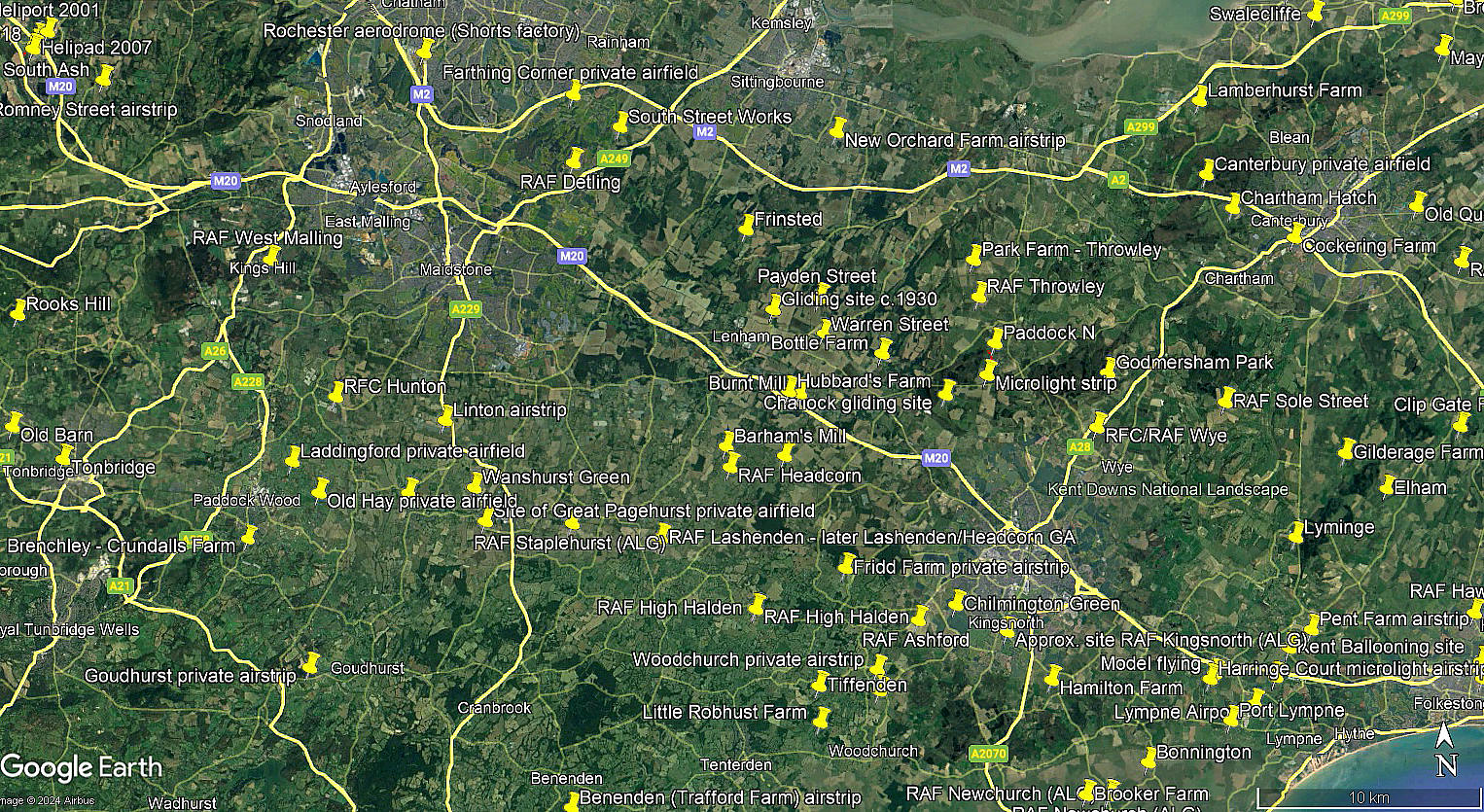
Note: The aerial view was obtained from Google Earth ©. The local area and area views are from my Google Earth © derived database.
Location: S of the M20, just SW of Lenham village and roughly 8nm NW of Ashford town centre
Period of operation: Unknown? Certainly by 2022 but looking at Google Earth images, possibly used earlier?
Runway: 11/29 360 grass
NOTES: As always, if anybody can kindly offer more advice and information, this will be most welcome. Pictures are always much appreciated.
We'd love to hear from you, so please scroll down to leave a comment!
Leave a comment ...
Copyright (c) UK Airfield Guide


