


Crays Hill
CRAYS HILL: Private airstrip (Aka ELM FARM?)
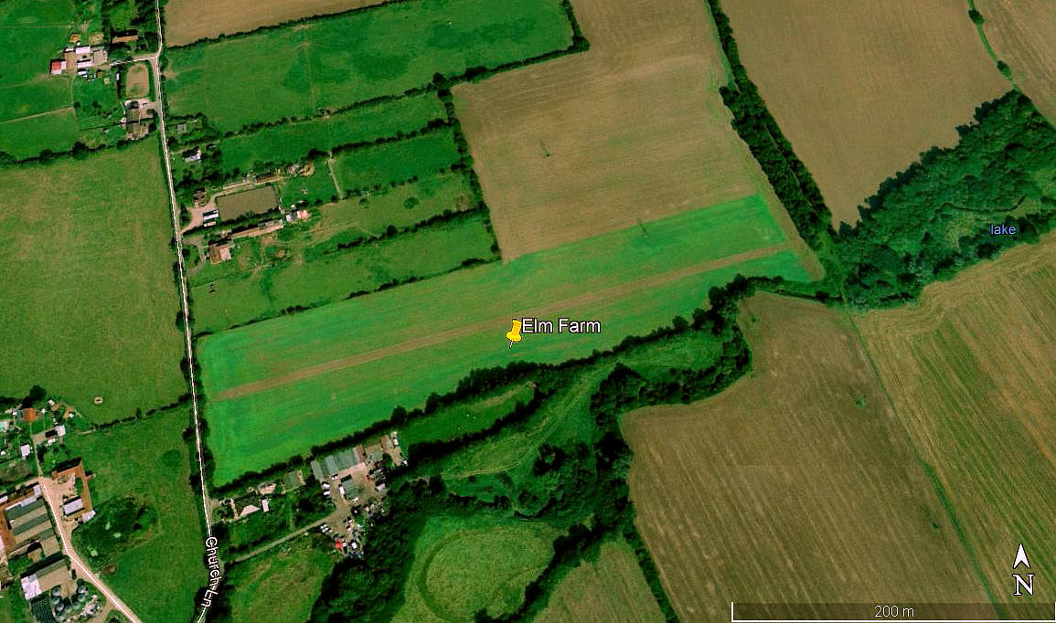
Aerial view 2000
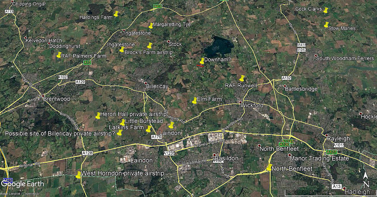
Area view
Note: Both of these pictures were obtained from Google Earth ©
Location: E of Church Lane, just N of Crays Hill, about 2nm W of Wickford and roughly 2.5nm ESE of Billericay
Period of operation: 1990s (?) to circa 2004?
Runway: 08/26 425 grass
NOTES: As they say, a picture is worth a thousand words. But is it? In the excellent book ESSEX: A Hidden Aviation History by Paul Bingley and Richard E. Flagg I came across this entry in their index of Essex airfields: Wickford - Elm Farm. Apparently operating until 2008.
A search of the area on Google Earth only revealed this airstrip.
If anybody can kindly offer advice, this will be much appreciated.
We'd love to hear from you, so please scroll down to leave a comment!
Leave a comment ...
Copyright (c) UK Airfield Guide
