Cumbernauld airstrip - UK Airfield Guide

Now having 7,000 + listed!

Probably becoming the most extensive British flying sites guide online...?

portfolio1 portfolio2 portfolio3 portfolio4

Heading 1

This is an example of the content for a specific image in the Nivo slider. Provide a short description of the image here....

Heading 2

This is an example of the content for a specific image in the Nivo slider. Provide a short description of the image here....

Heading 3

This is an example of the content for a specific image in the Nivo slider. Provide a short description of the image here....

Heading 4

This is an example of the content for a specific image in the Nivo slider. Provide a short description of the image here....

small portfolio1 small portfolio2 small portfolio3 small portfolio4
themed object
A Guide to the history of British flying sites within the United Kingdom
get in touch

Cumbernauld airstrip


CUMBERNAULD: Private airstrip
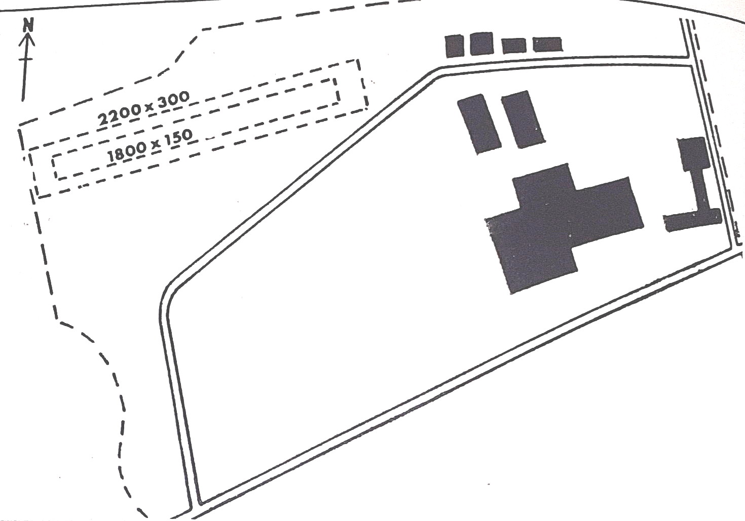
Map c.1977
Map c.1977


Note:  In September 2023, Mr Graham Frost found this map. The runway dimensions are, converted from feet to meters:  

2200x300  =  670x91            1800x150  =  548x46

Gliding only at weekends 


NOTES:  Many years ago I came across an intriguing mention of CUMBERNAULD being a private airstrip for Cumbernauld New Town listed in about 1975 and situated off the B8011 road which is pretty much where the later “Airport” seems to be. I reckon this site later became the regional GA airport also listed. And, it was also listed as being a gliding site in or around this period. In 1977 CUMBERNAULD was certainly listed as being a gliding site only.


We'd love to hear from you, so please scroll down to leave a comment!


Leave a comment ...


Name
 
Email:
 
Message:


Copyright (c) UK Airfield Guide


slide up button