


Grampound
GRAMPOUND: Military airstrip
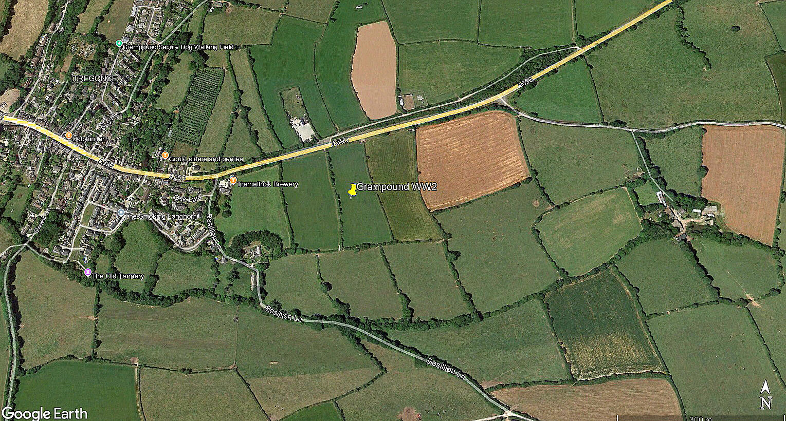
Local view
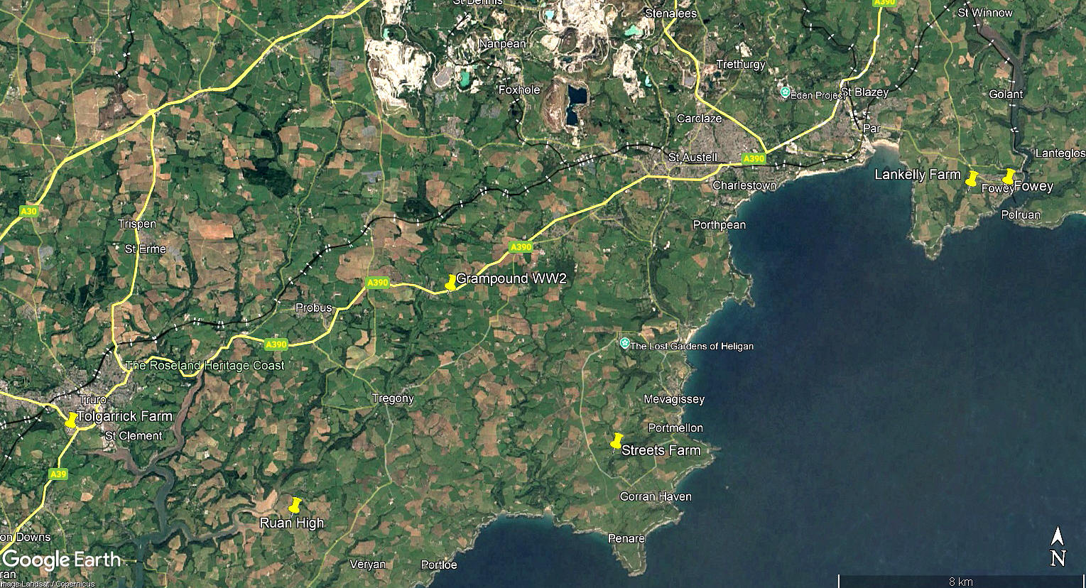
Local area view
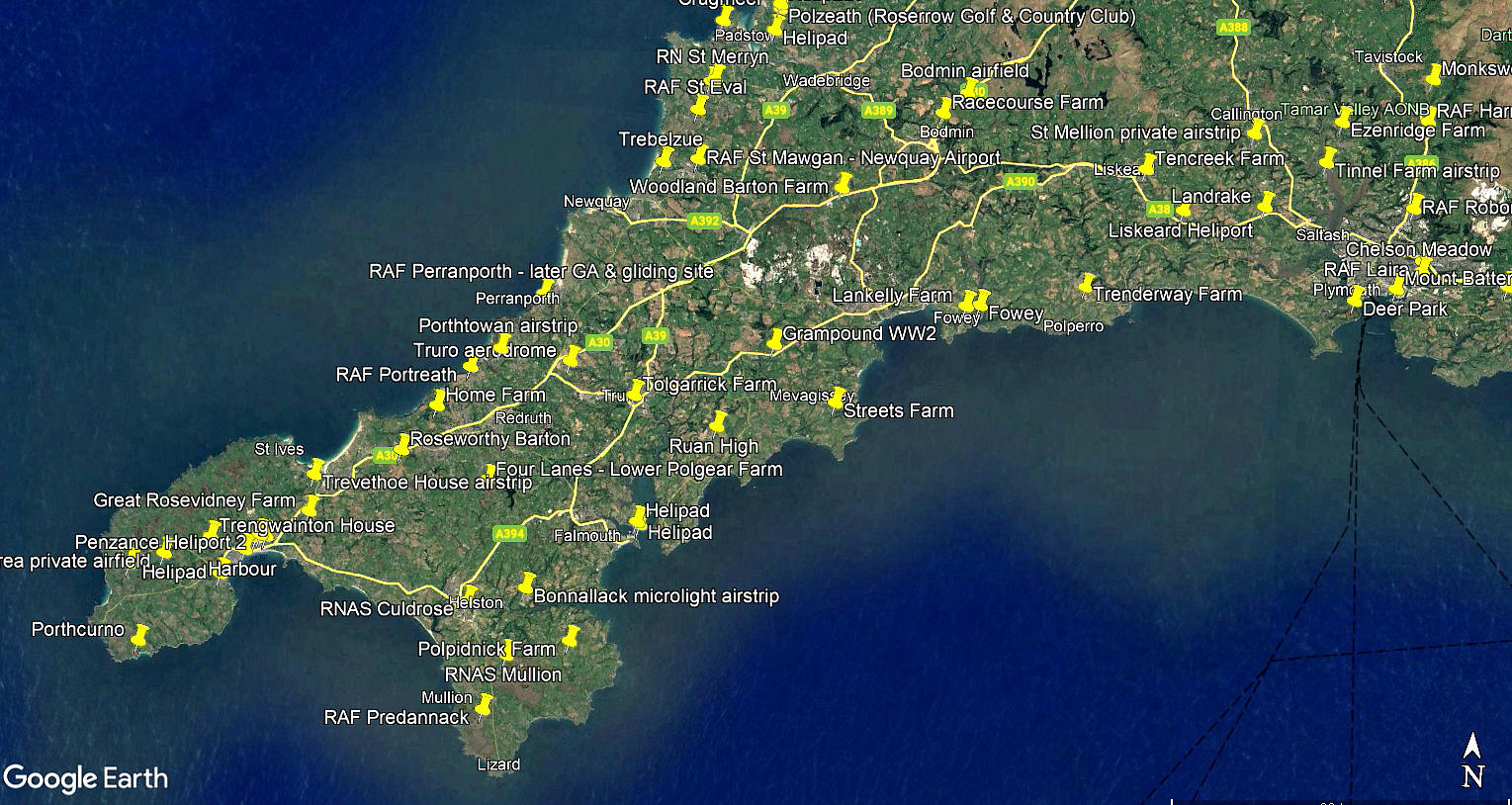
Area view
The local view was obtained from Google Earth © and the local area and area views are from my Google Earth © derived database.
Military user: U.S. First Army ‘V’ Corps, 190th Field Artillery Group
Location: Just E of Grampound, and just S of the A390, about 6nm W of St Austell and 8nm E of Truro
Period of operation: 1944/5 only?
NOTES: It appears that two Piper L-4 Grasshoppers were based here. Without much doubt U.S. Army troops were based here in the run-up to D-Day.
We'd love to hear from you, so please scroll down to leave a comment!
Leave a comment ...
Copyright (c) UK Airfield Guide
