


Hardwick Hall
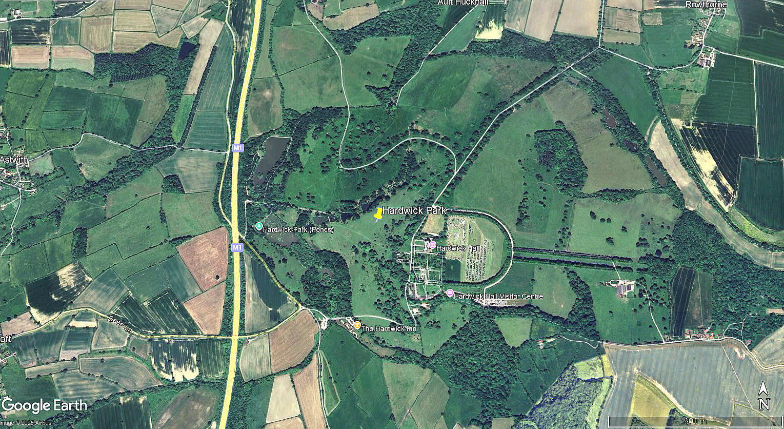
HARDWICK HALL: Satellite Landing Ground (Aka HARDWICK PARK)
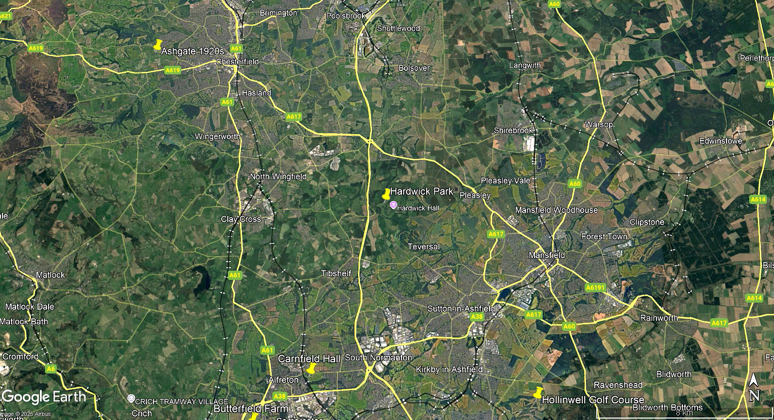
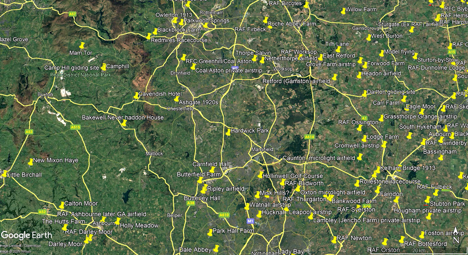
These three pictures are from my Google Earth © derived database. And, not all of the locations listed in this 'Guide' are pinned.
Military users: 37 SLG (RAF) From Sepember 1941 to September 1943
From 1943 used solely by the RAF Parachute Regiment?
Location: Just E of the M1 roughly 2nm SSE of junction 29
Period of operation: 1941 to 1943
Runway: N/S and about 950x200? grass
NOTES: According to a map of HARDWICK PARK I have seen, these are the approximate runway measurements but I doubt the accuracy? I might well be wrong though as, taking WOBURN PARK as an example, the marked landing area can move around a bit, (even in recent years), across a large flat area of suitable flat grass.
And, in WW2, was the landing area actually marked? In such situations it is often an advantage to allow aircraft to use as big an area as possible to preserve the surface condition and especially to try and avoid excessive rutting when the ‘going’ is soft.
We'd love to hear from you, so please scroll down to leave a comment!
Leave a comment ...
Copyright (c) UK Airfield Guide
