


Ings Farm
INGS FARM: Private airstrip (Aka YEDINGHAM)
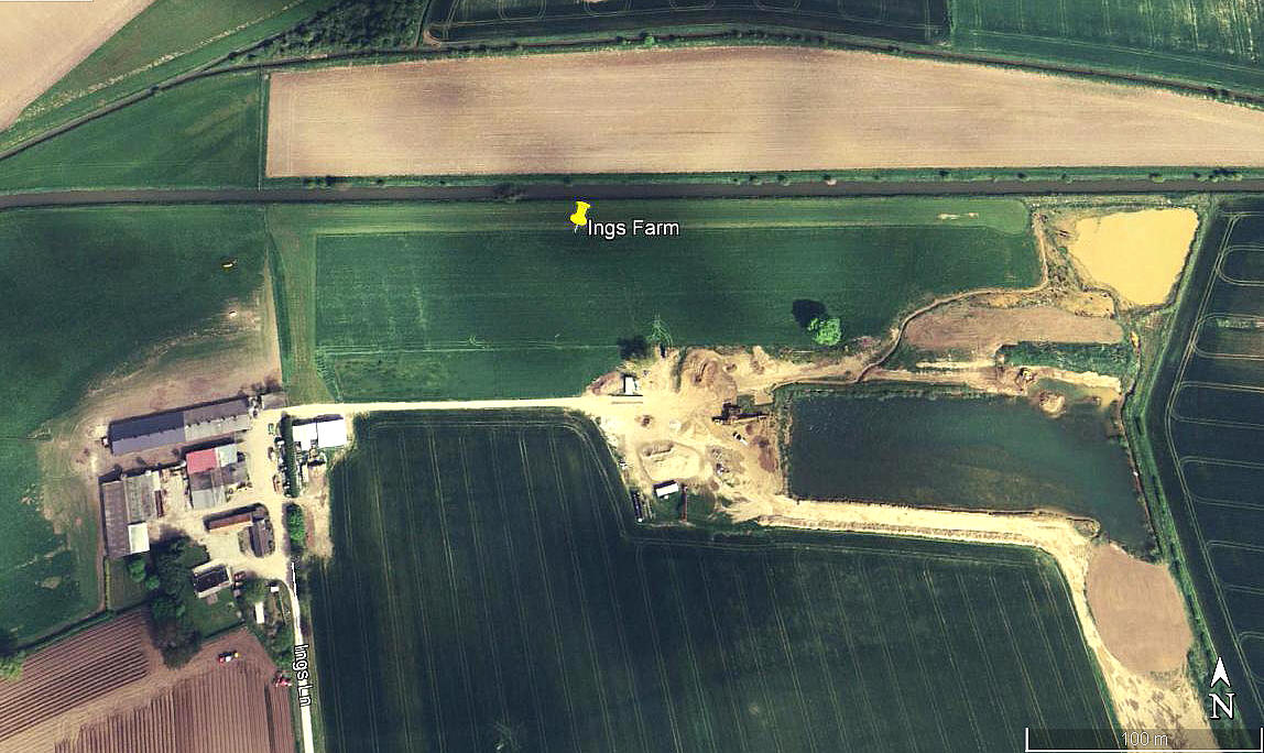
Aerial view 2007
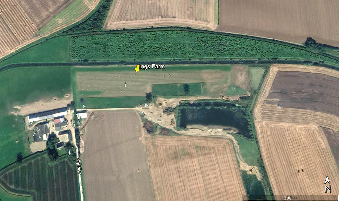
Aerial view 2012
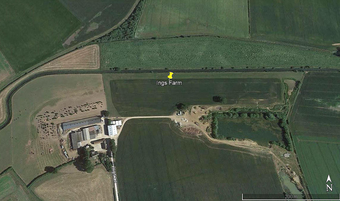
Aerial view 2018
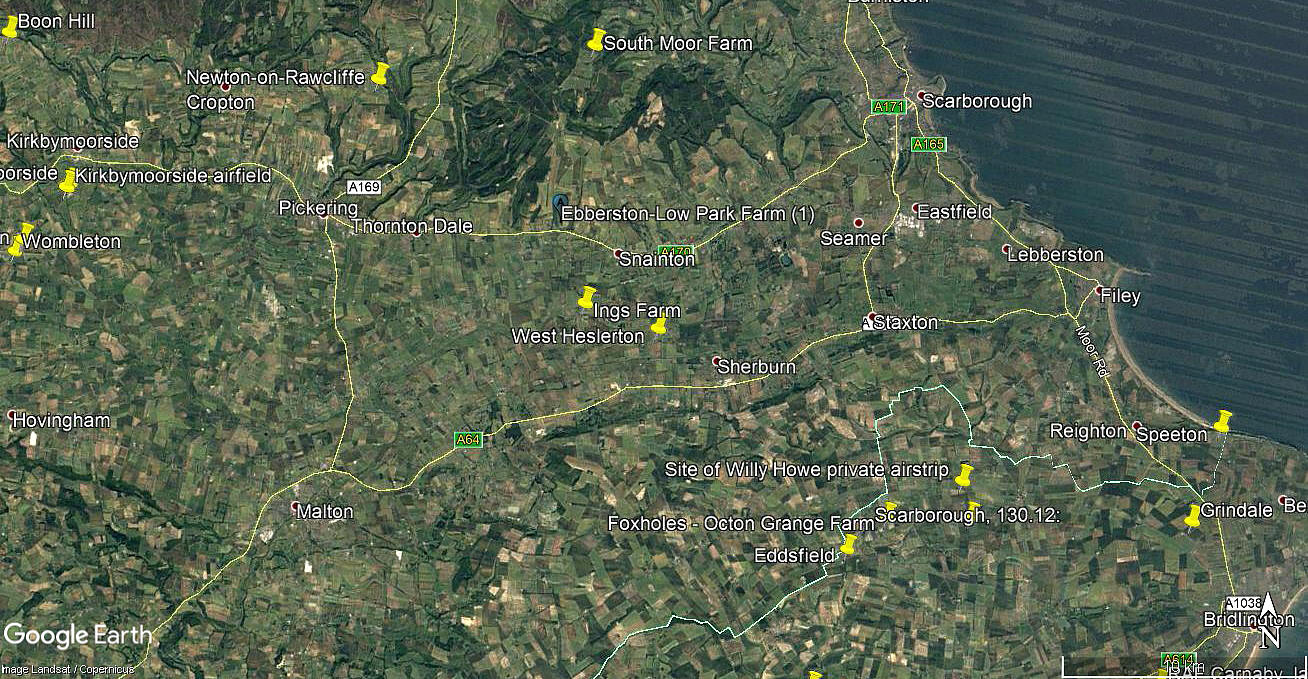
Area view
Note: All four of these pictures were obtained from Google Earth ©
Location: Just NE of Yedingham village, about 10nm SW of Scarborough town centre
Period of operation: c.2005 (perhaps?) to -
Runway: Initially 09/27 385 grass (Later extended to 480 metres)
NOTES: It is of course great news to find new airstrips being added in the 21st century, and this is a fine example. Google Earth images show that it didn't exist in 2002. As always in this 'Guide', if anybody can kindly offer advice, this will be most welcome.
We'd love to hear from you, so please scroll down to leave a comment!
Leave a comment ...
Copyright (c) UK Airfield Guide
