


Jericho Farm
JERICHO FARM: Private airfield (also known as LAMBLEY)
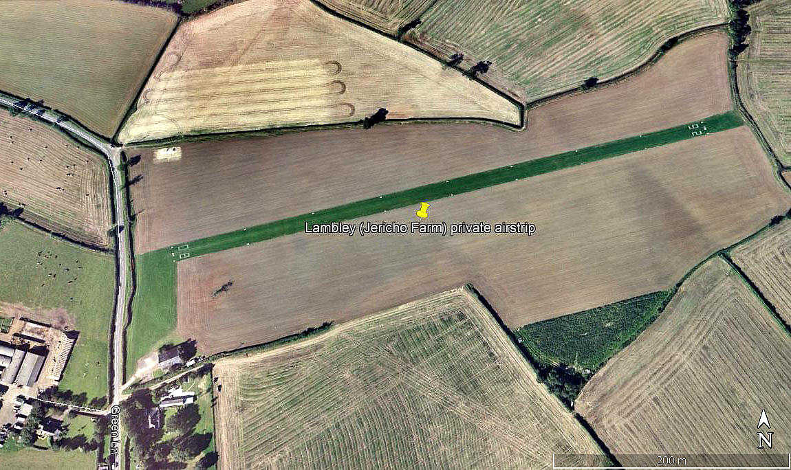
Aerial view 2004
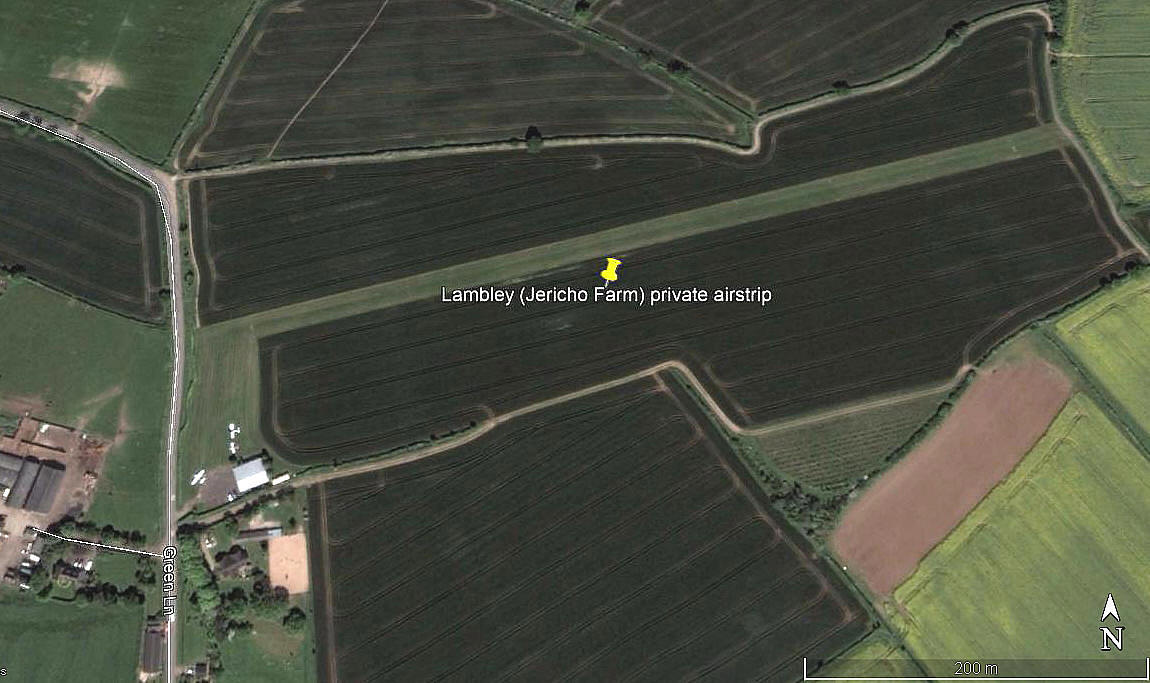
Aerial view 2012
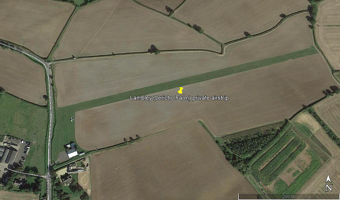
Aerial view 2019
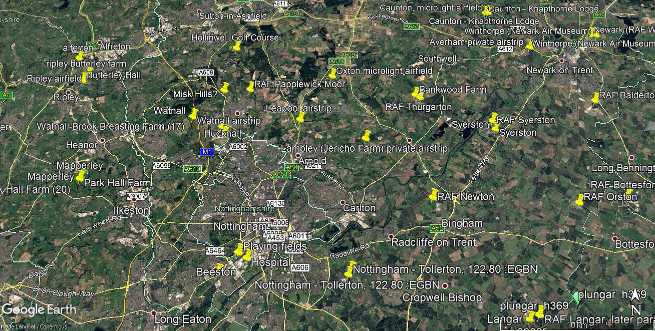
Area view
Note: All four of these pictures were obtained from Google Earth ©
Operated by: 1992 to 2000: Mr J Hardy
Location: Roughly 0.5nm N of Lambley village, 4nm NE of Nottingham, 7nm SW of Southwell
Runway: 1992: 08/26 600x15 grass
2000: 08/26 600x18 grass
2013: 08/26 620 grass (From Google Earth)
NOTES: In a 2009 AAIB report it seems the runway had reverted to being 15 metres wide.
As always in this 'Guide' if anybody can kindly offer advice, this will be most welcome.
We'd love to hear from you, so please scroll down to leave a comment!
Leave a comment ...
Copyright (c) UK Airfield Guide
