














Leith
Note: This map only shows the position of Leith town within the UK.
LEITH: Early experimental manufacturing and flying sites
Operated by: J & G Gibson
Location: Factory in Leith (which is an inner suburb of Edinburgh NE of the city centre)
NOTES: In his book British Built Aircraft Vol.5 Ron Smith states that in 1910 experiments with the first Gibson biplane were taking place in Leith. (Not quite correct - see below). This aircraft being a fairly crude version of the Boxkite design. These early trials are claimed to have been unsuccessful but their second machine, (a rebuild of their first machine), was flown successfully in August 1910. It appears they employed the Caledonian Motor & Cycle Works to build their aircraft and another ten aircraft were constructed.
I have no reason to doubt this but, considering the sole aim of this Guide, I’d just love to know what happened to these machines. Who brought them and where did they fly them from? Or should I say, attempt to fly them from? As said so many times before, this really is recent history, so why is it now so damned difficult to discover?
A MICHAEL T HOLDER GALLERY
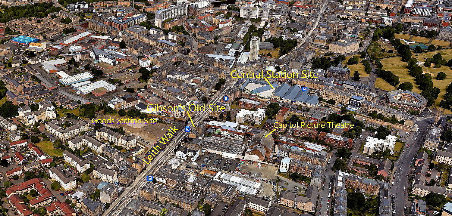
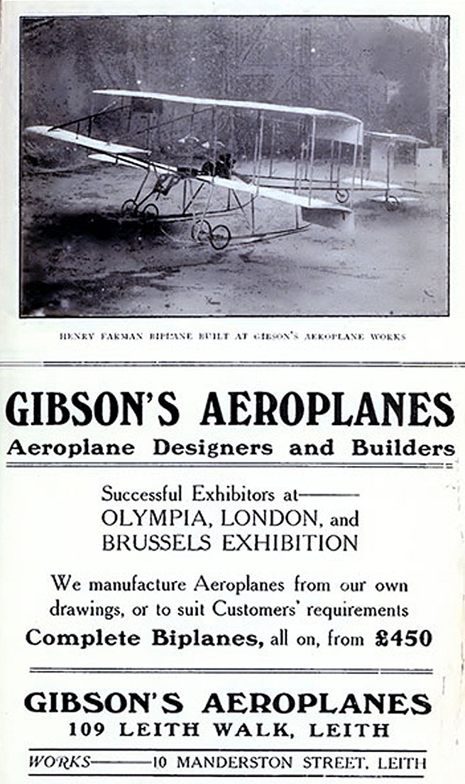
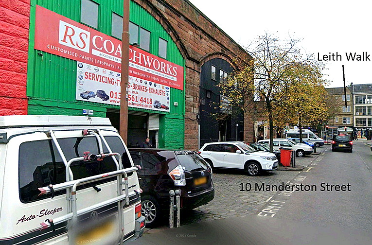
In 2023 Mike Holder, a great long term friend of this 'Guide', kindly took it upon himself to see what might be available to illustrate this listing. And what a great job he has done. The following items give us detailed views of the Gibson's office and factory, plus where the local taxying trials took place at Leith Links and later flying trials at Buteland Farm. It is important to remember that these proceedings were taking place at the very beginning of powered flight becoming established in the U.K. The French of course were far more advanced, we were latecomers, and in all likelyhood the first person to actually fly a powered aircraft in the proper sense, rather than doing experimental hops in ground effect, (as the Wright brothers initially did), will never be known? But it seems, the Gibsons may well stake a claim?
THE OFFICE AND FACTORY
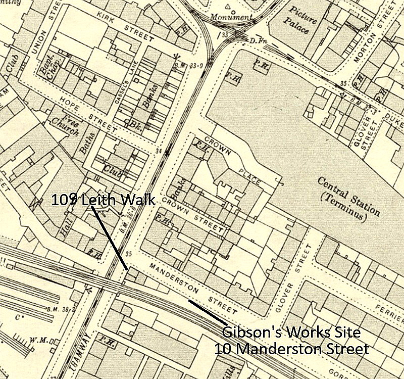
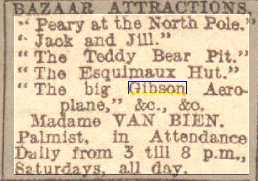
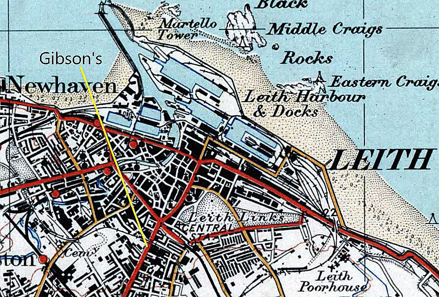
The Notice was published in the Edinburgh Evening News on the 13th December 1909 and clearly illustrates that the Gibsons had an aeroplane to exhibit at the Bazaar.
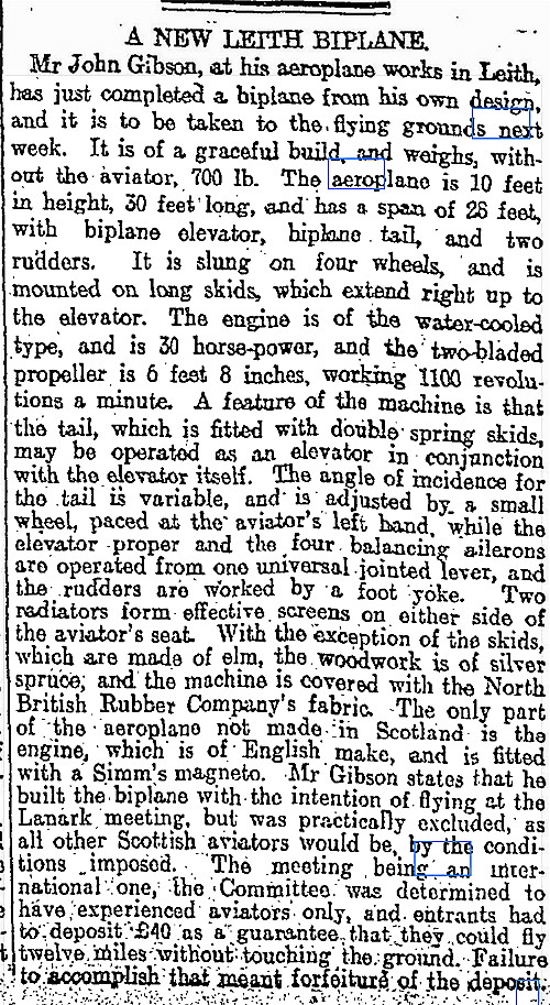
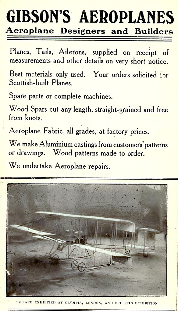
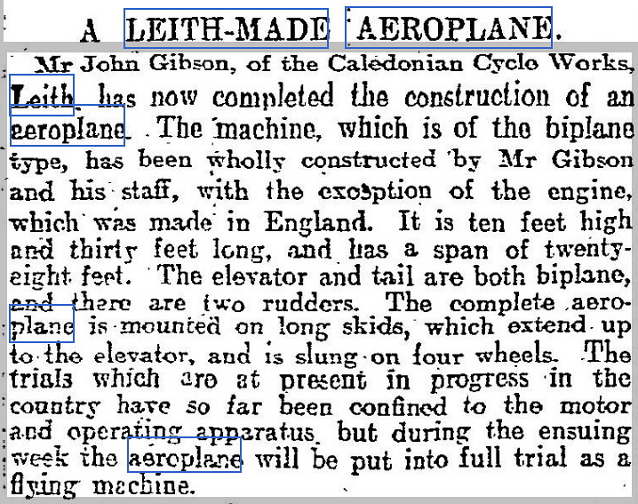
The Article One was published in The Scotsman on the 13th July 1910. Advert One was placed in The Edinburgh News. The Article Two appeared , also in The Scotsman, on the 8th August 1910.
A HISTORY OVERVIEW FROM THE EDINBURGH NEWS
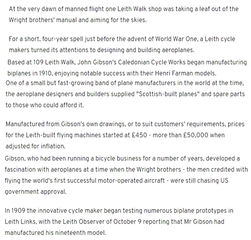
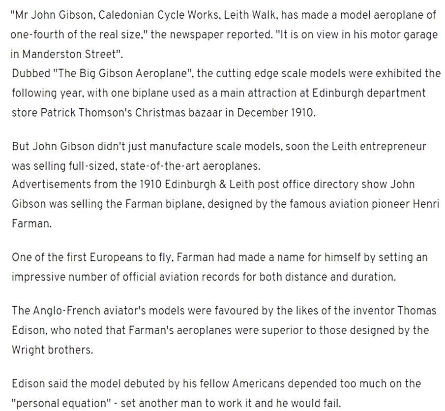
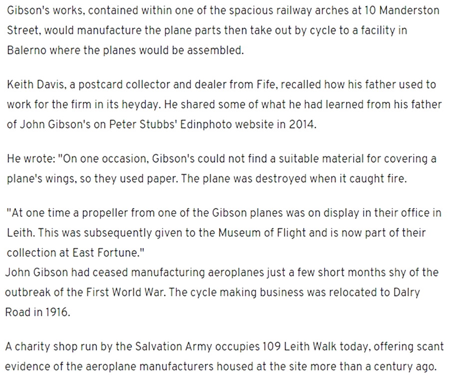
VIEWS OF THE OFFICE AND FACTORY
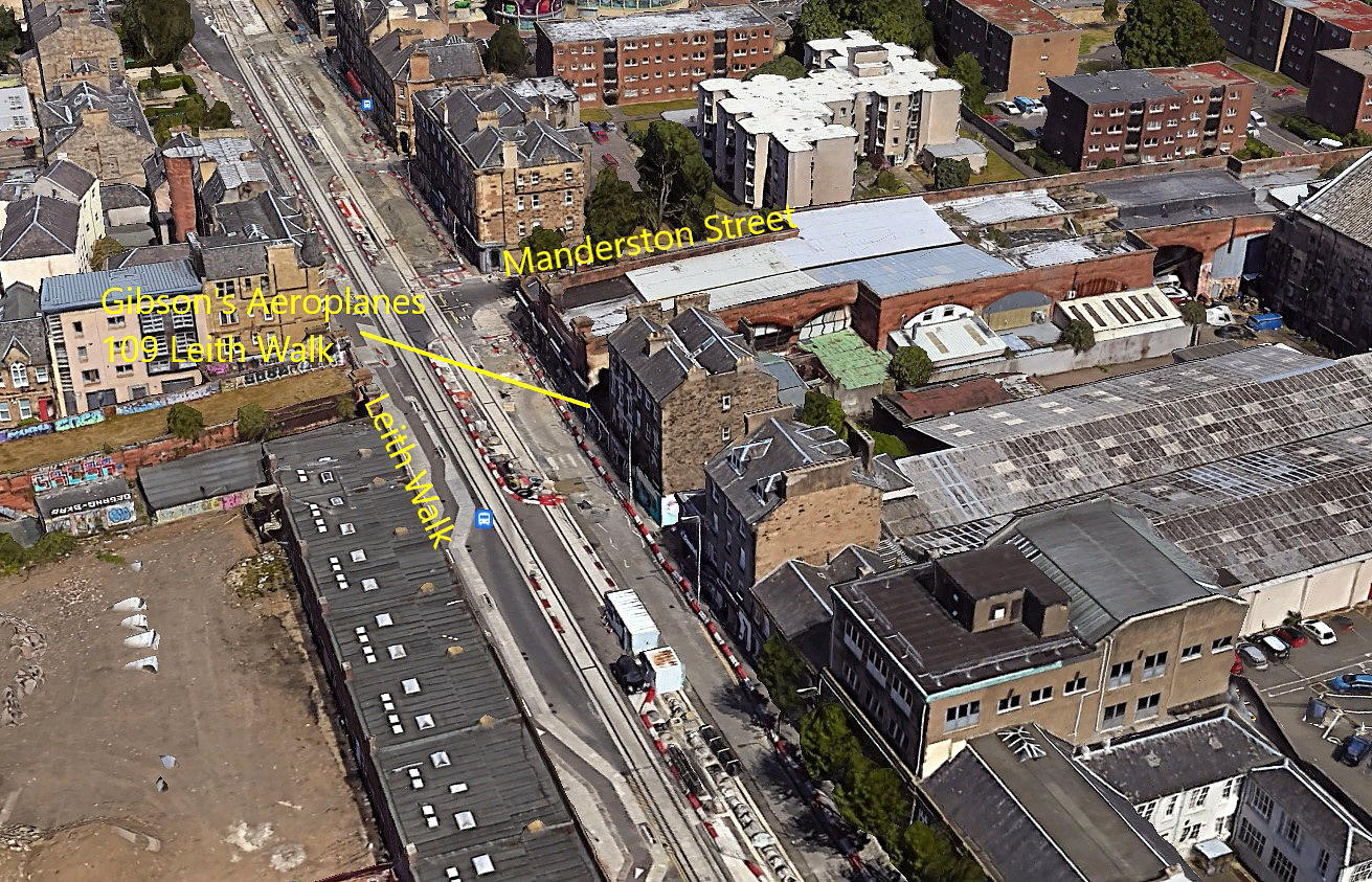
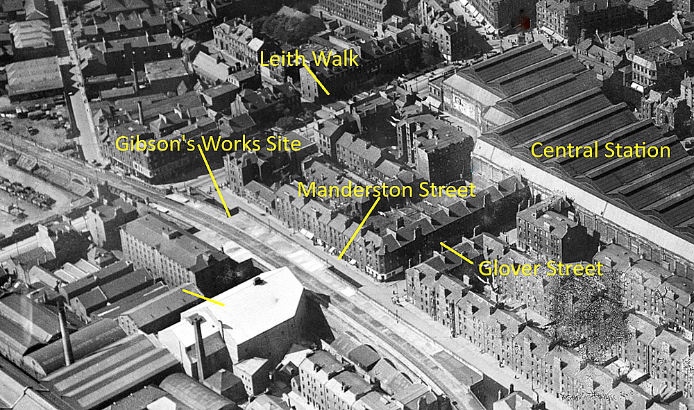
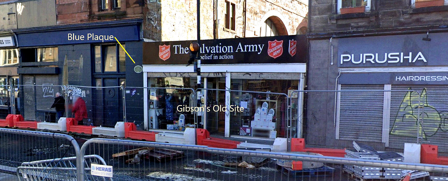
LEITH LINKS
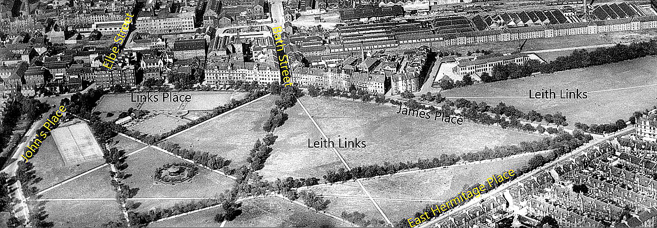
It would appear that LEITH LINKS were used mainly for taxying and engine trials although, I suppose, undertaking short hops cannot be ruled out? This location is clearly unsuitable for any flying trials and therefore the decision to find a larger 'aerodrome' was soon made.
BUTELAND FARM
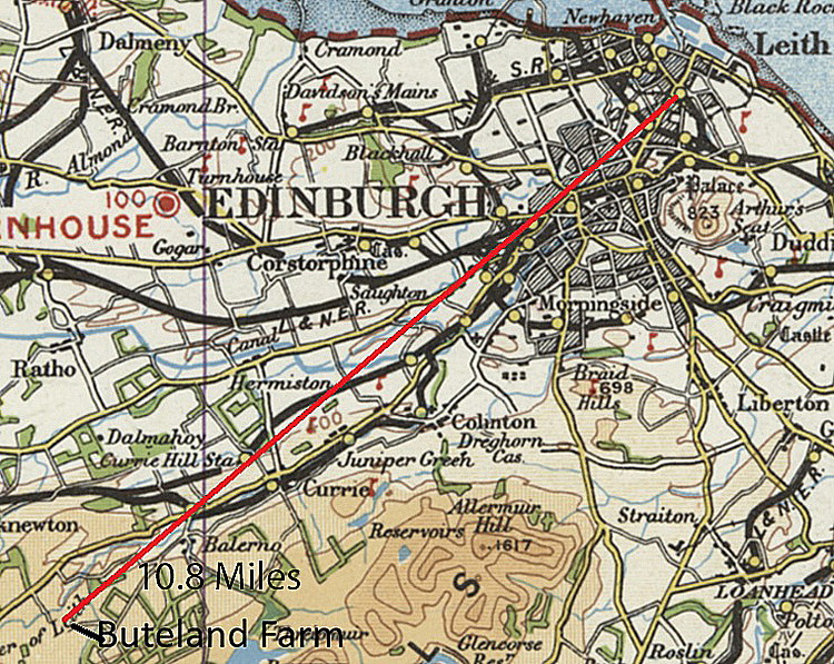
Quite why BUTELAND FARM was chosen seems to be something of a mystery? At that time, looking at maps, there would appear to be suitable large fields nearer to the factory in Leith. Perhaps this location offered a greater degree of secrecy and of course a much lesser chance of the public turning up? What we don't appear to know, (and advice will be most welcome), is how the aircraft were transported? Possibly by an early motorised vehicle, or, were horse-drawn wagons still being used? Mike Holder has calculated that the distance from the factory by road is 13.2 miles.
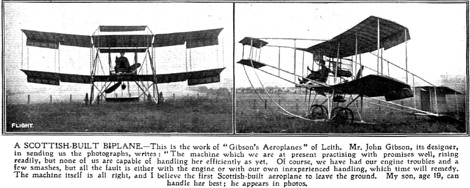
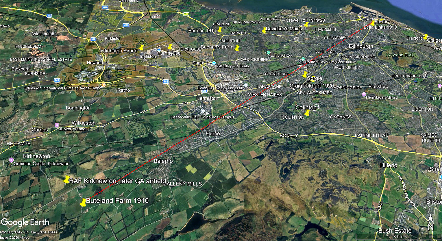
The photos were published in Flight magazine on the 20th August 1910. Note the caption comments. The local area view is from my Google Earth© derived database.
Seems to me that the pictures in Flight were most likely taken here? Note the low fence, which if common on this farm, would be highly desirable when flying around. No fences better still of course. In those days the flying skills required for banked turns were still in their infancy, so skidding turns using the rudder were generally used. But of course, as we now know, the secondary effect of yawing using the rudder is banking, which those early aviators certainly did not want to happen! Therefore most turns of any duration were soon arrested, using the ailerons or wing-warping to regain level flight. I expect that a bootful of rudder in the opposite direction, (counter intuative of course), would in many if not most cases have been more effective?
Also in those days, most flying was done, even when just out of ground effect, very low. Not least because an engine failure could be expected at any time. Internal combustion engines used in vehicles soon became much more reliable, mainly because weight was not an issue.
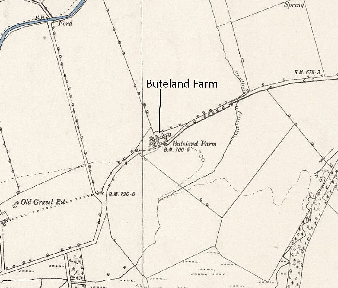
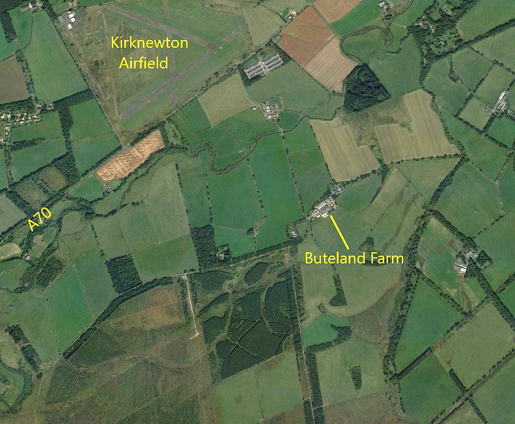

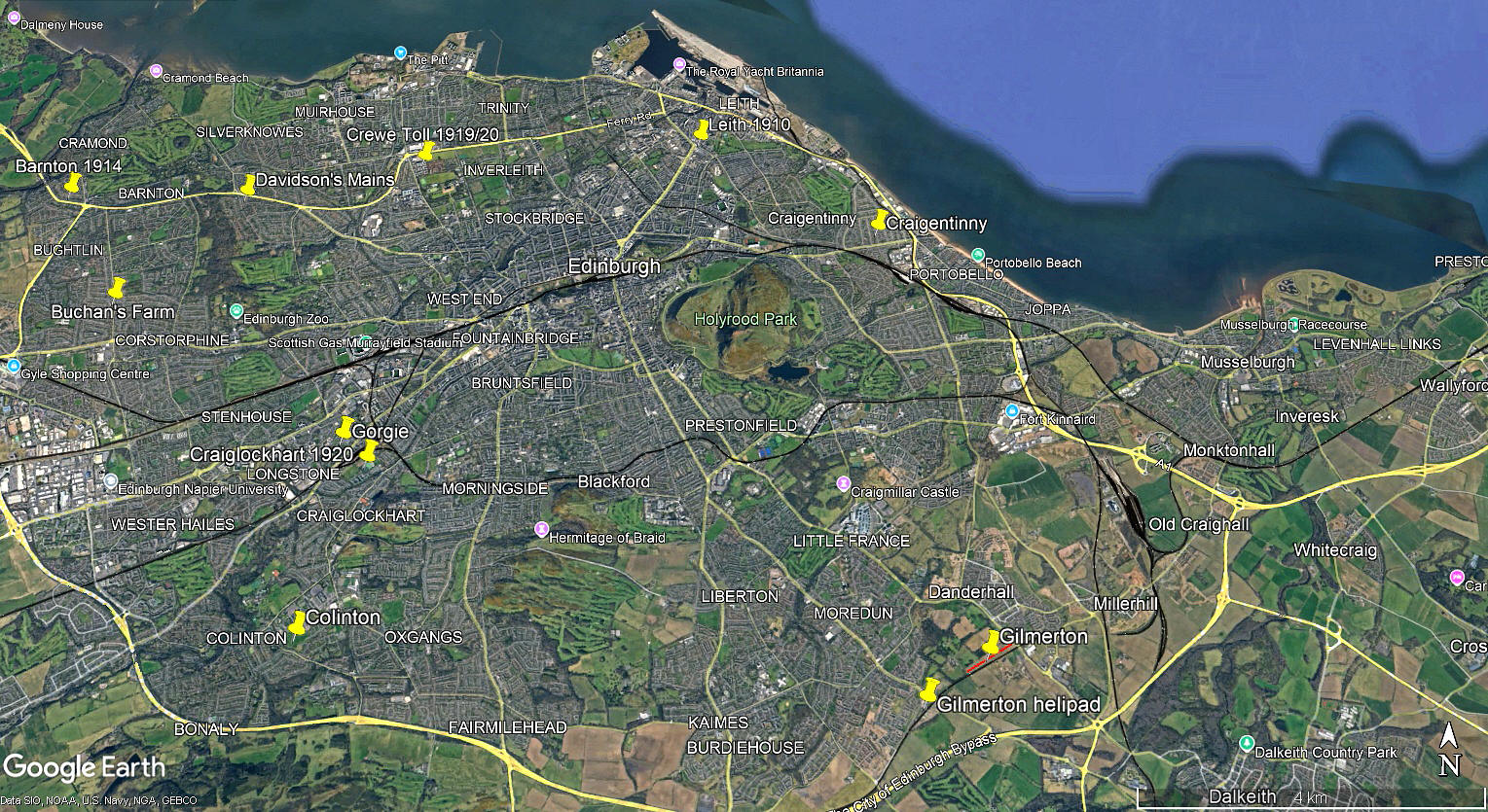
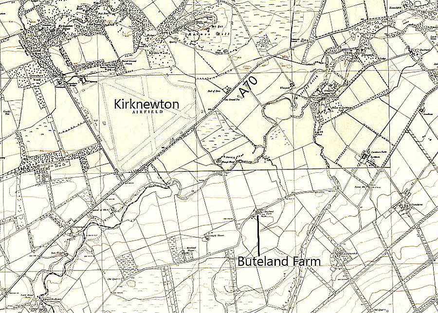
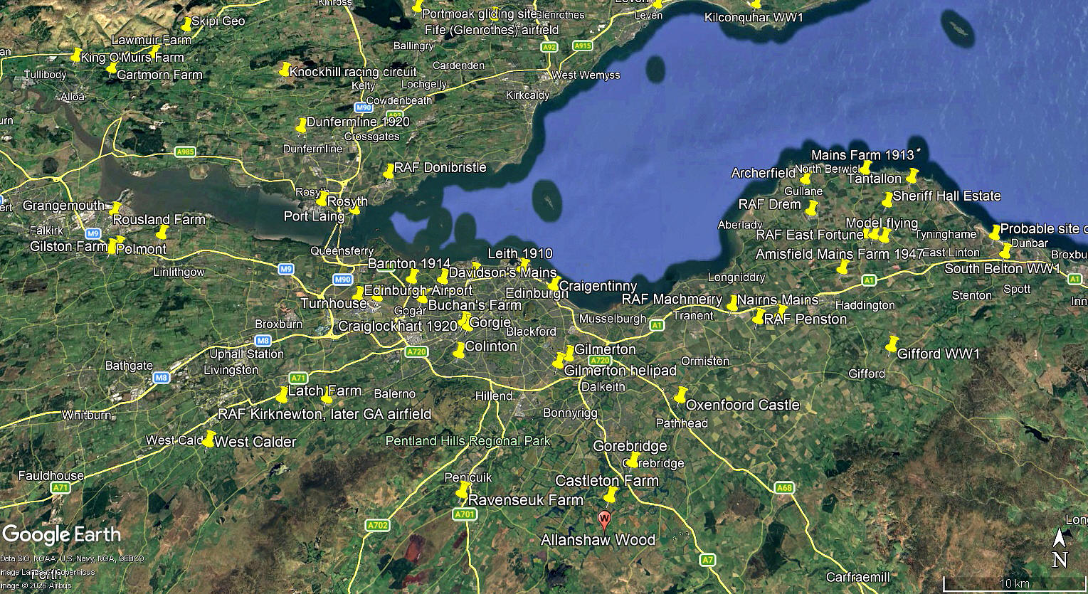
The local area and area views are from my Google Earth© derived database.
NOTES: We do not know which field or fields were used. I noticed that few are orientated towards the prevailing winds in this area. But, in those days most flying took place in calm conditions, so generally early in the morning or the evening. A calm day must have been a real bonus.
We'd love to hear from you, so please scroll down to leave a comment!
Leave a comment ...
Copyright (c) UK Airfield Guide
