














Lowfields
LOWFIELDS: Temporary Landing Ground
Operated by: Royal Flying Corps
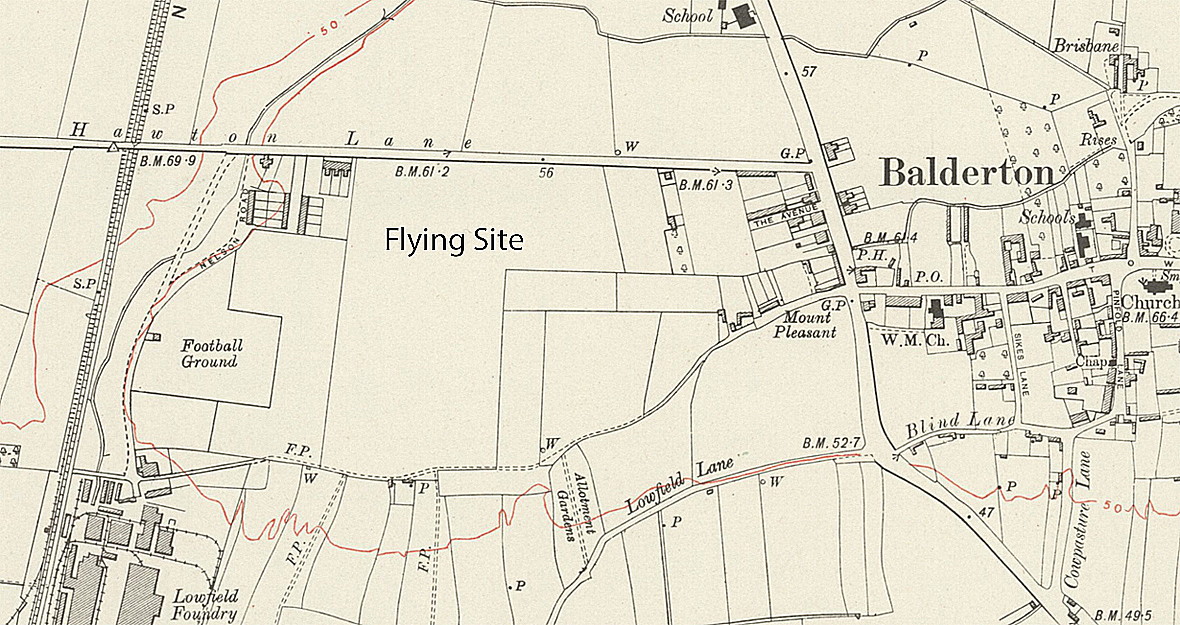
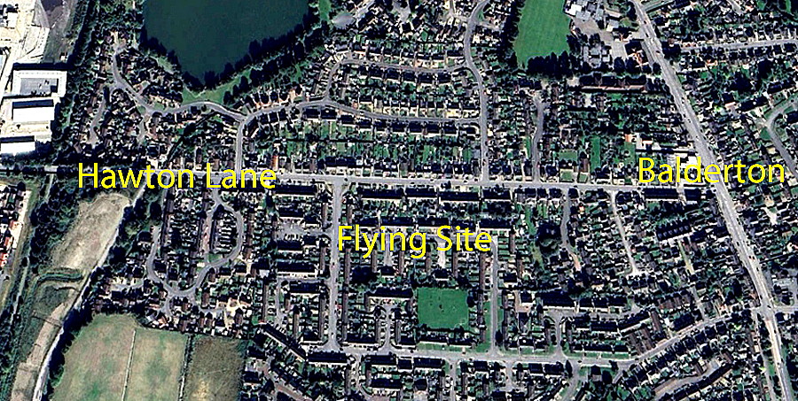
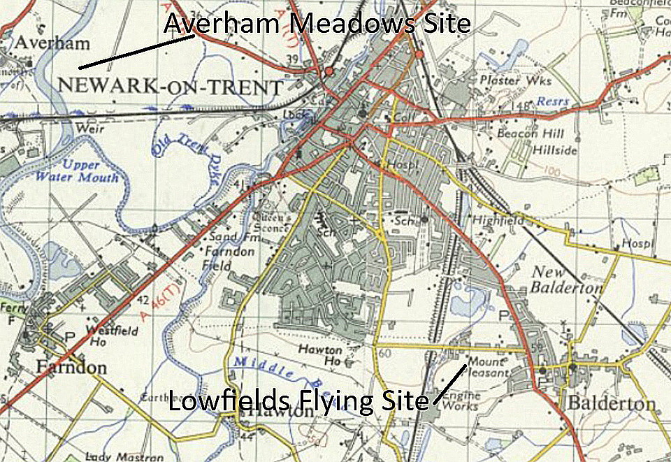
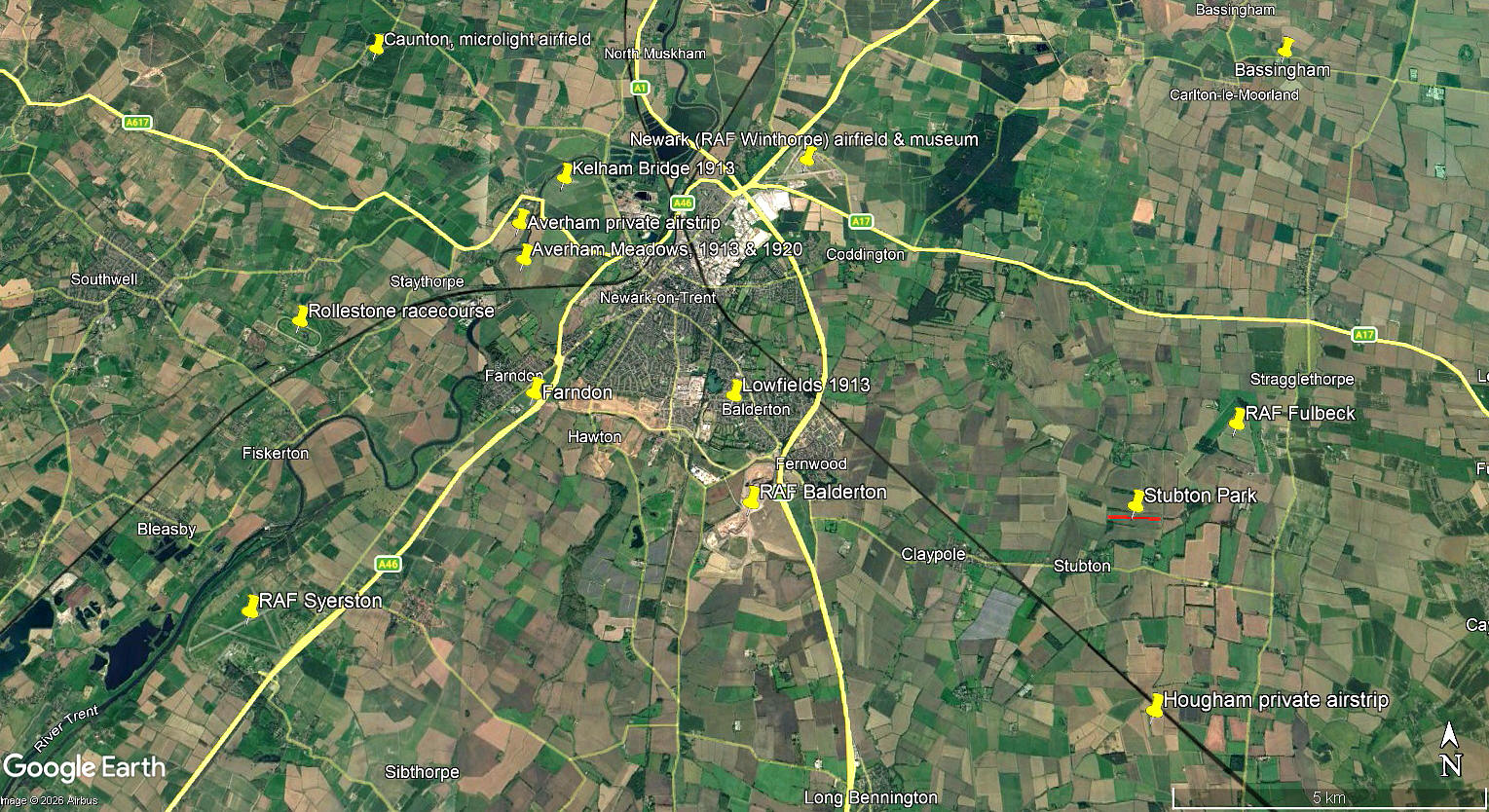
Location: Just W of Balderton village on the old A1 London Road, about 1.25nm SE to SSE of Newark town centre
Period of operation: 23rd/24th October 1913
A SHORT MICHAEL T HOLDER GALLERY
Having found much evidence of KELHAM BRIDGE and AVERHAM MEADOWS being used, Mike also noticed at the end of a long article published in the Newark Herald on the 25th October 1913, (see the AVERHAM MEADOWS listing), that Lieut. Martin landed here. So, kindly determined to see if he could identify the probable location. This was part of a major exercise being arranged by the Royal Flying Corps to fly a considerable number of aircraft, with support vehicles, from southern England up to the MONTROSE AIR STATION in Scotland.
Needless to say, the flight had to be arranged in stages, but of course the pilots, also carrying a mechanic, with only very rudimentary means of navigation, often could not find the allocated Landing Ground for various reasons. Poor visibilty and fading light being the two main problems they faced. However, unlike modern times by and large, their aircraft were designed to operate from very rough fields, and having very slow landing speeds, such diversions were usually made without any damage to the machine. And even if some damage occurred, they could usually be repaired quite quickly on site.
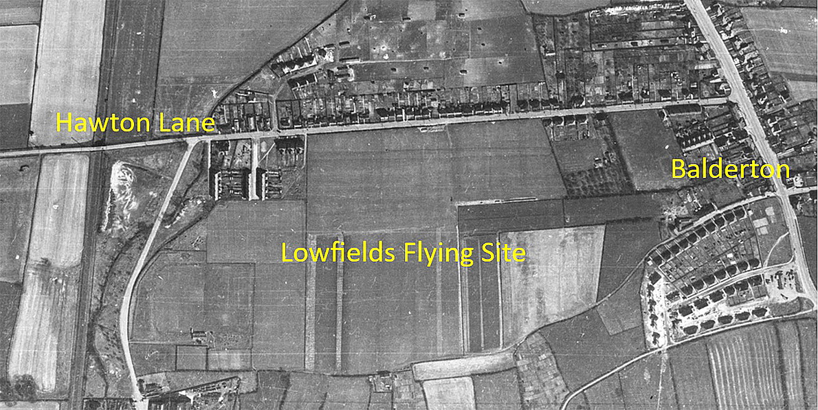
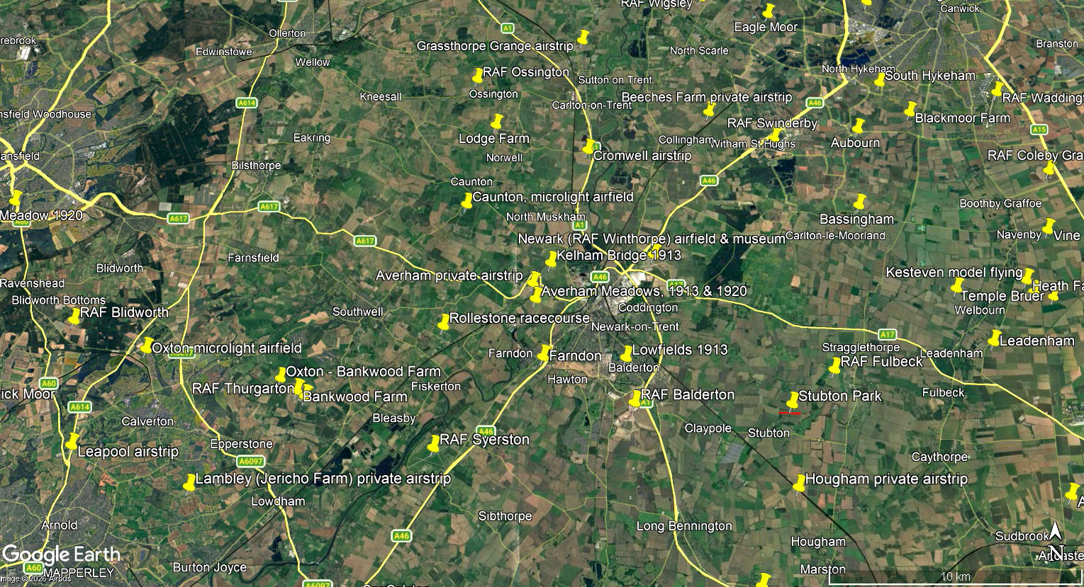
The local area and area views are from my Google Earth© derived database
NOTES: I imagine it is highly unlikely that anybody today can offer advice and information? But, such a request has been answered in the past, often years later from when the listing was added.
We'd love to hear from you, so please scroll down to leave a comment!
Leave a comment ...
Copyright (c) UK Airfield Guide
