














Manor Farm
MANOR FARM: Private airstrip
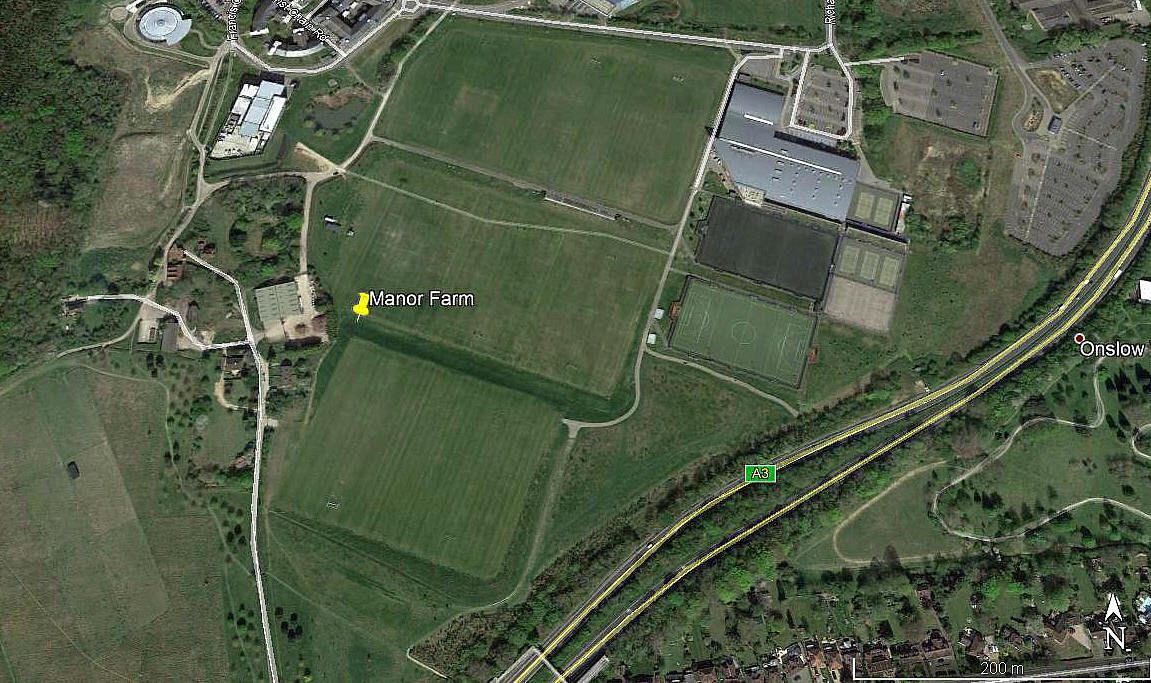
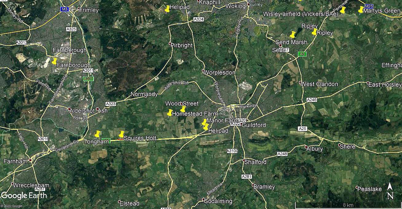
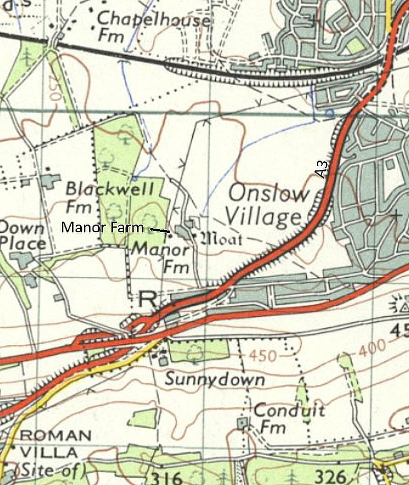
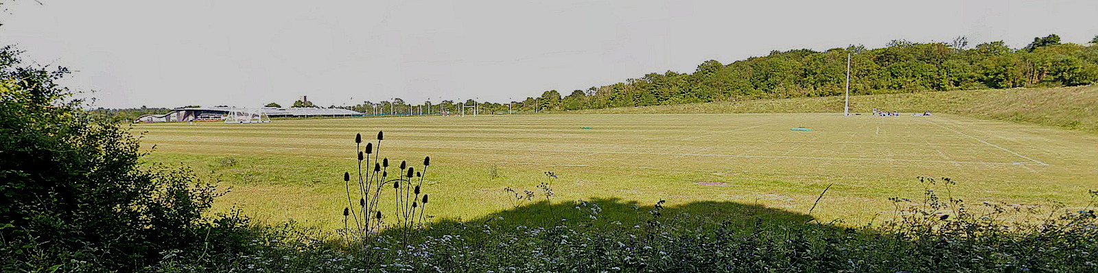
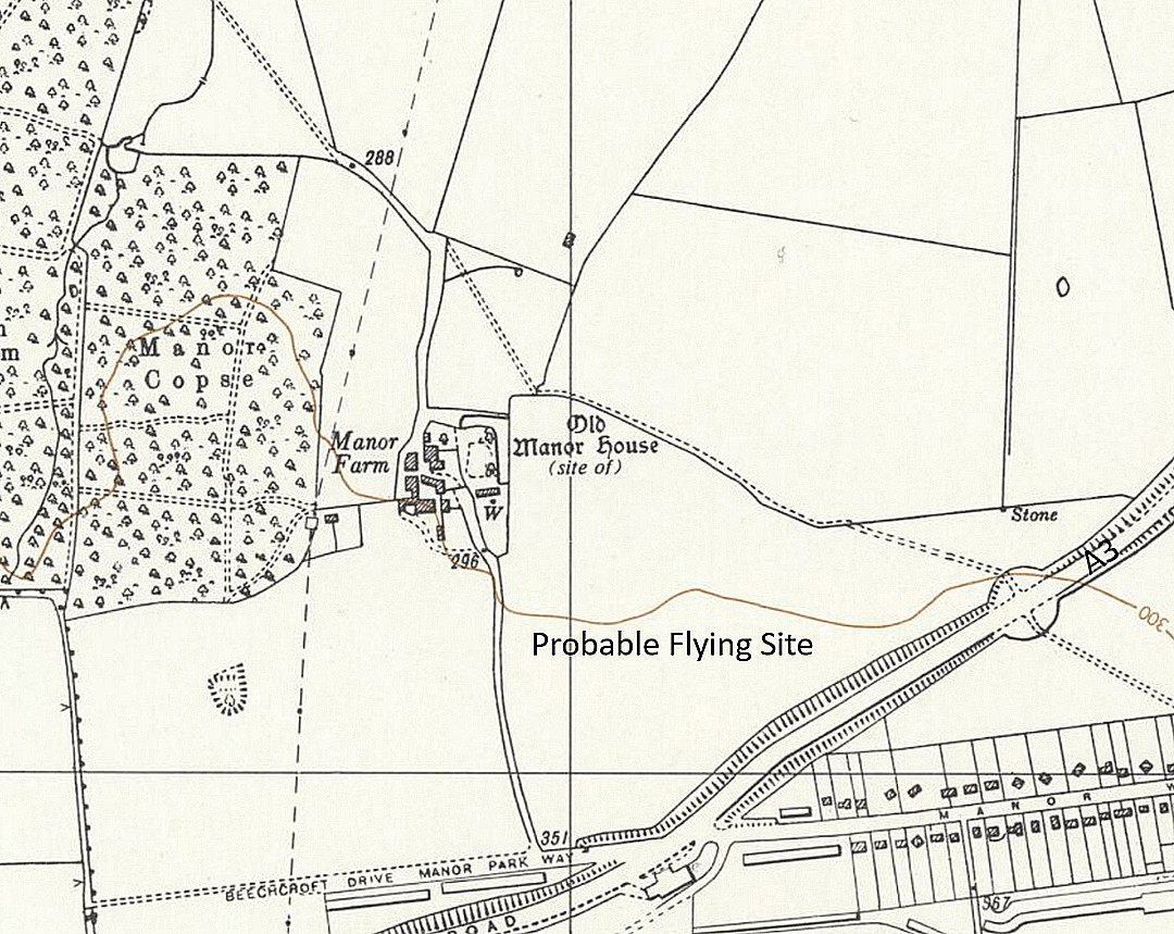
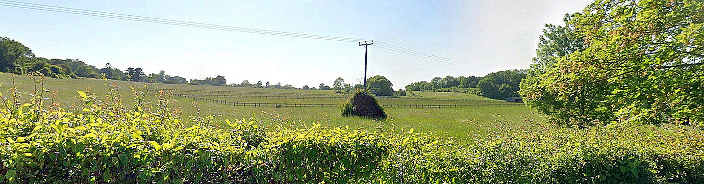
Note: Both of these pictures were obtained from Google Earth ©
Operated by: Mr G Weaver
Location: On East Shalford Lane which runs E of the A281, just NE of Shalford and roughly 1.5nm SE of Guildford town centre
Period of operation: 1973 to 1986
NOTES: From the mid 1970s to the mid 1980s it seems the Jodel DR.1050 Ambassadeur G-AYEJ was based here.
When searching for this location in June 2018 I found information that the farm buildings look derelict.
A NEW DISCOVERY! AND, A MICHAEL T HOLDER GALLERY
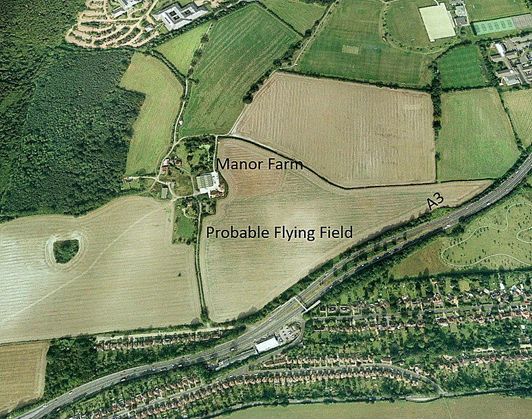
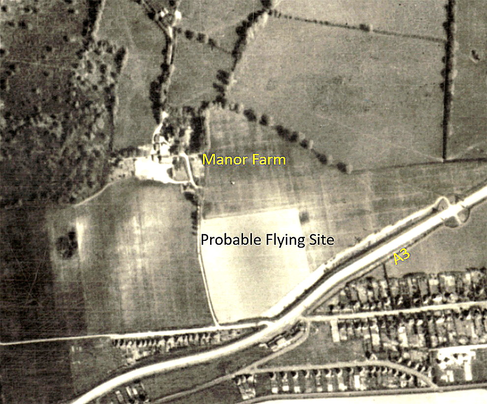
In June 2026, Mike Holder discovered that a MANOR FARM, in this location, had been used in late August 1921 by Leatherhead Aviation Services. We cannot know for certain which field was actually used, (in both cases), but both agree upon the most likely field being the same? If anybody can kindly offer advice, this will be most welcome.
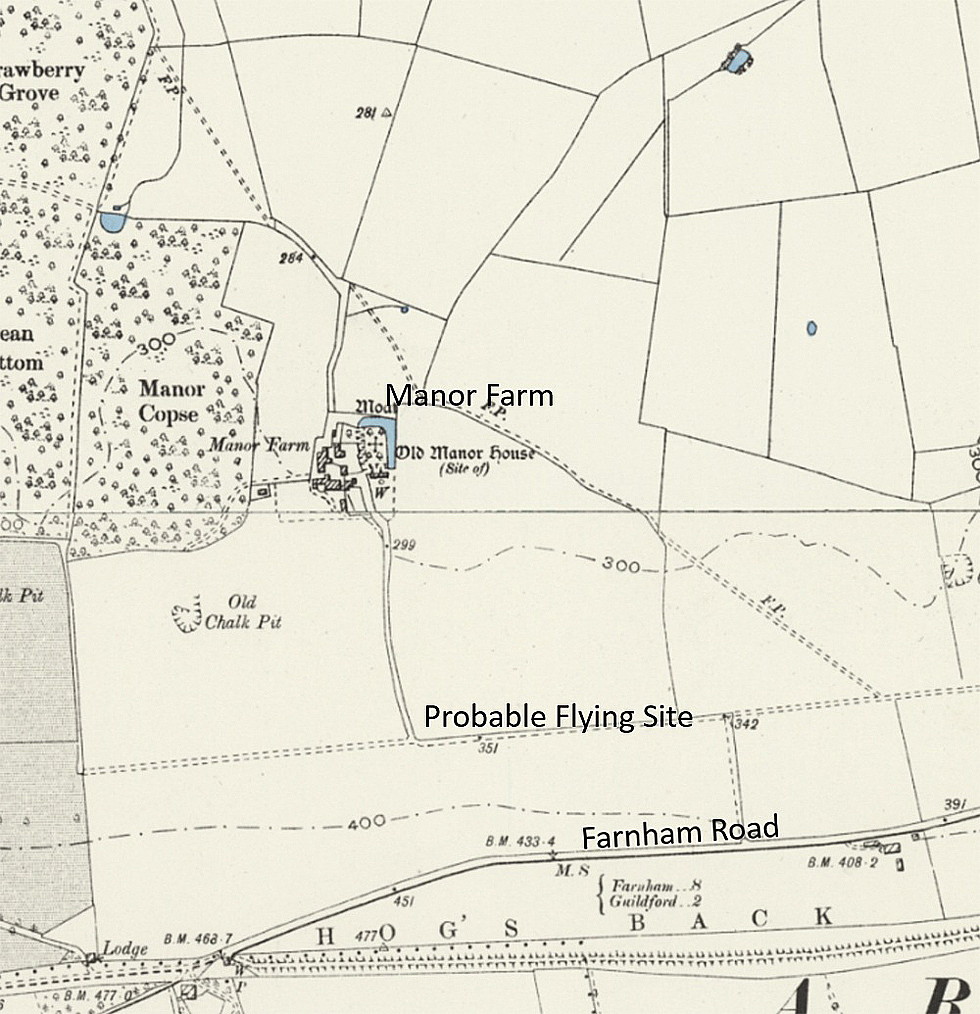
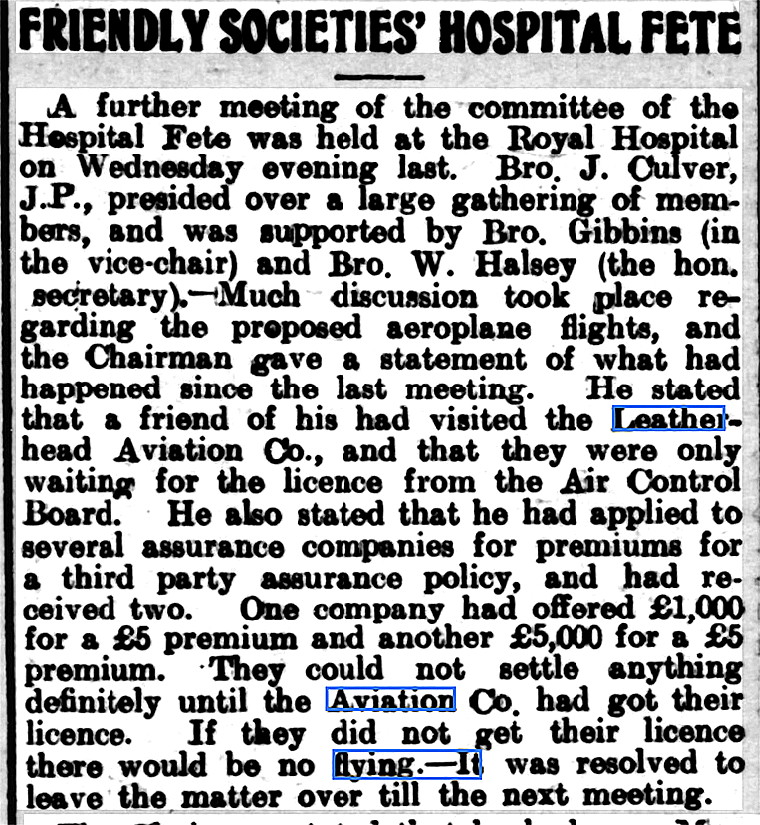
The Article One was published in the Richmond Herald on the 17th August 1921. This shows that soon after WW1 the pen-pushers in Whitehall had already established a firm hold over civil aviation.
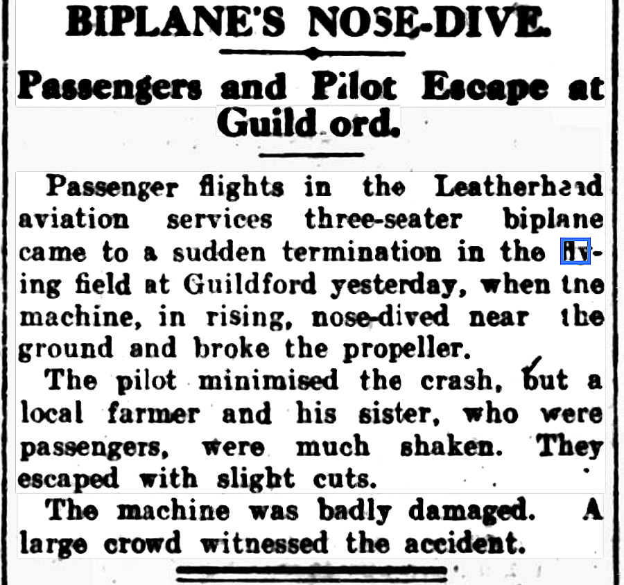
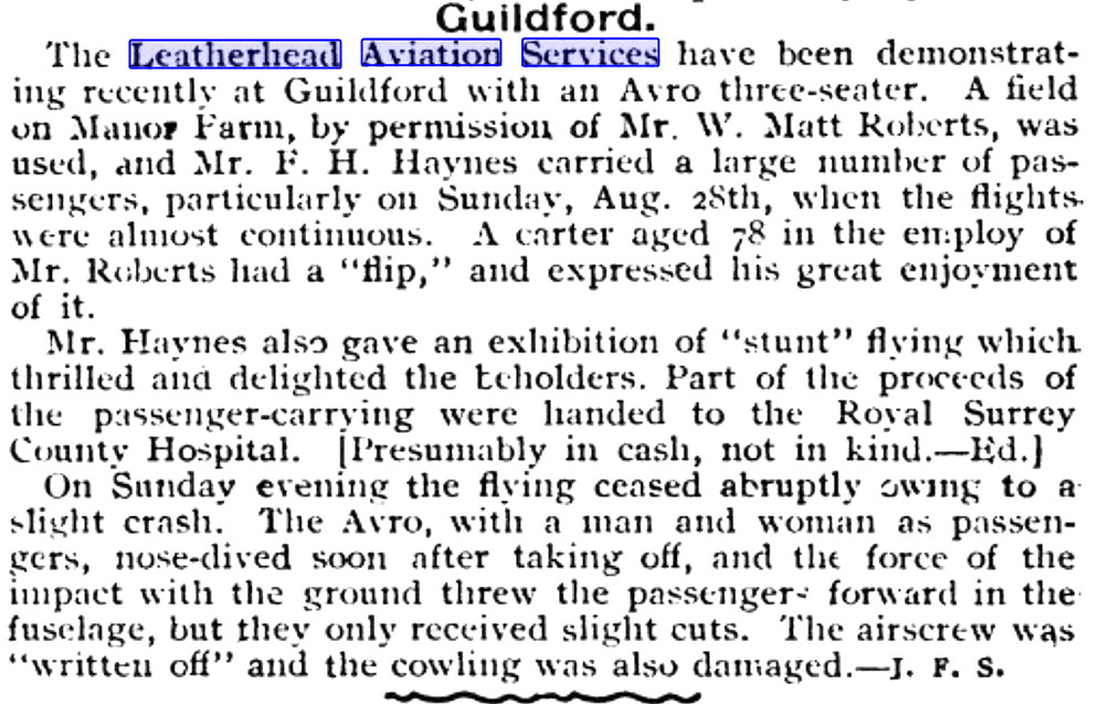
Article Two appeared in the Daily News (London) on the 30th August 1921, and Article Three is from The Aeroplane edition on the 7th September.
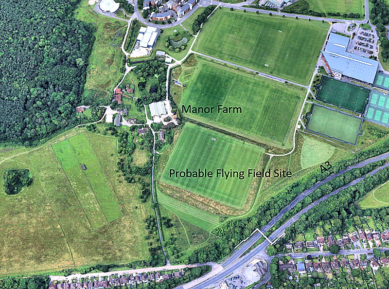
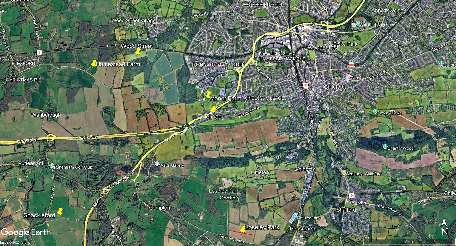
The local area view is from my Google Earth© derived database.
A BIT MORE INFORMATION
Shaking the dust off my patented Sherlock Holmes detection kit, complete with deer-stalker hat, huge spy-glass, Meerschaum pipe and twelve-inch metric converter, I soon found that in 1921 Leatherhead Aviation Services were operating two aircraft. The Airco DH.6, G-EANU (ex C5230), and the Avro 504K, G-EAHL (ex E4118), which features in the articles above.
We can only conjecture about the possible reasons why it went into a "nose-dive". Loss of control due to a cable breaking seems most unlikely, and engine-failure seems the most likely cause, necessitating at slow speed, a very pronounced forward=push on the control column to maintain airspeed and avoid stalling. No doubt we'll never know, but severe wind-shear is another distinct possibility.
We'd love to hear from you, so please scroll down to leave a comment!
Leave a comment ...
Copyright (c) UK Airfield Guide
