


Market Deeping
MARKET DEEPING: Military aerodrome
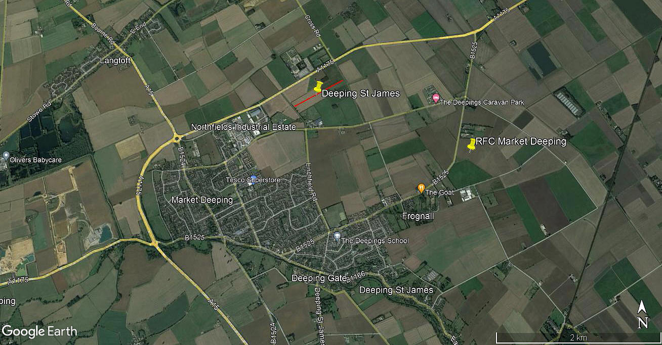
Local area view
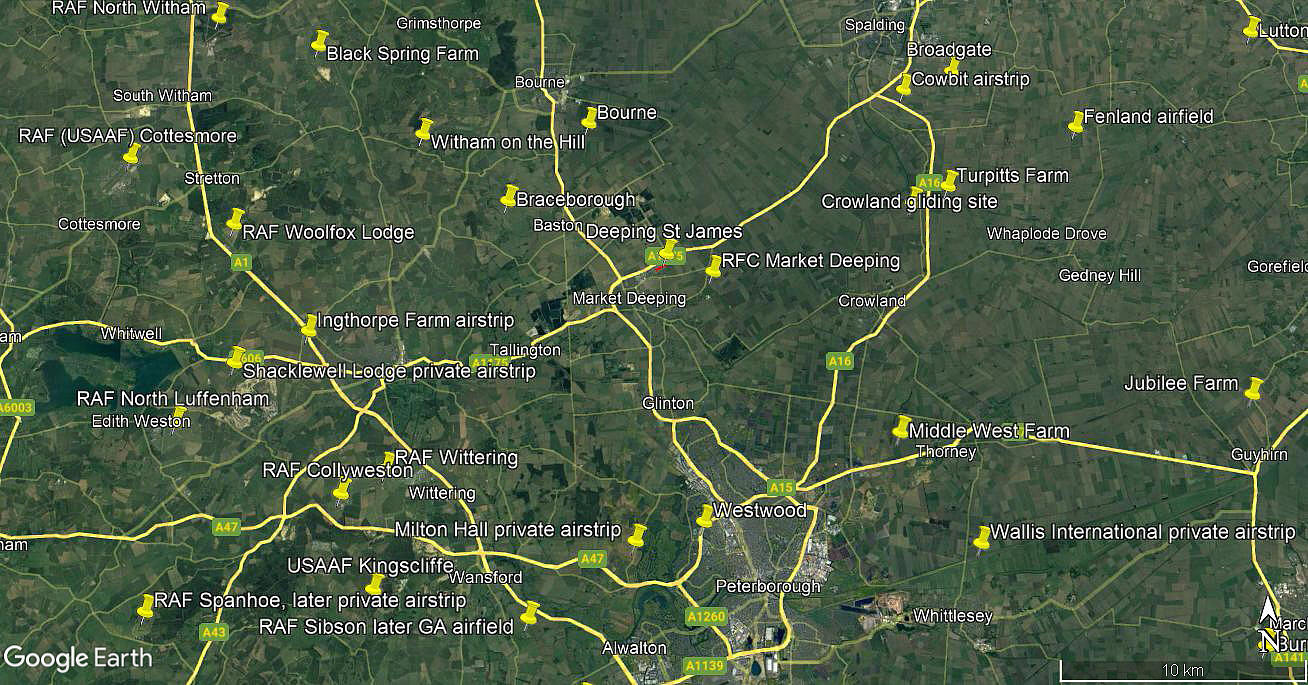
Area view
Note: Both of these pictures are from my Google Earth © derived database.
Military users: Royal Flying Corps (RFC), Royal Air Force (RAF)
90 HD [Home Defence) Sqdn (Avro 504K)
Location: Just E of the B1525 between Frognall and Deeping Common. Just ENE of Market Deeping town centre, about 8nm N to NNW of Peterborough city centre
Period of operation: 1917 to 1919
Area: 90 acres
NOTES: It was usual in those days for aerodromes to be 'all-over' allowing aircraft to land and take-off into wind. However, I have found information that there were two favoured 'strips', one of 594m and the other of 777m, but no orientation given.
We have Mr Graham Frost, a great friend of this 'Guide', to thank for pointing out this location.
We'd love to hear from you, so please scroll down to leave a comment!
Leave a comment ...
Copyright (c) UK Airfield Guide
