














Marshlands
MARSHLANDS: Temporary aerodrome (Aka SCOCLES TURNING)
Operated by: Sir Alan Cobham’s National Aviation Day 1935 No.2 Tour
Location: South of Minster, Isle of Sheppey
Period of operation: 27th August 1935
A MICHAEL T HOLDER GALLERY
We have Mike Holder, a great long term friend of this 'Guide', to thank for researching and providing the following items to illustrate this listing.
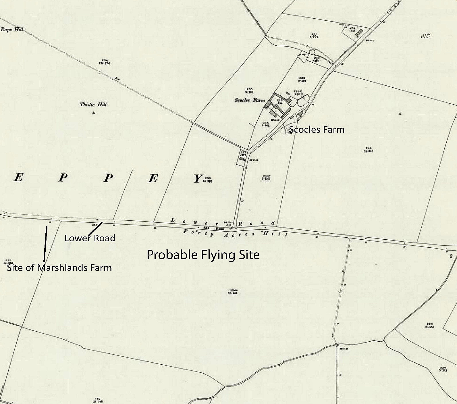
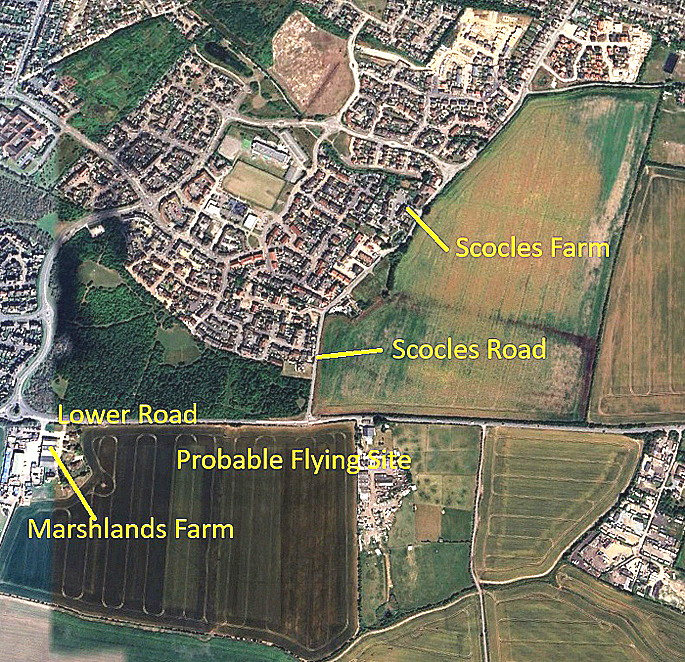
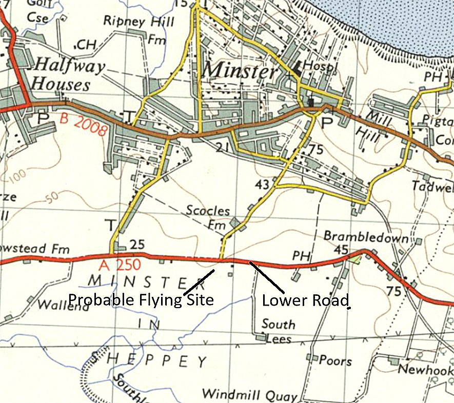
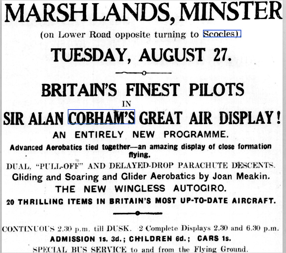
This advert was placed in the Sheerness Guardian and East Kent Advertiser on the 14th August 1935. It was planned to be, and quite likely was (?), the 53rd venue for the No.2 Tour. This started on the 1st July at PENSHURST aerodrome near Tonbridge in Kent and finished at OLD BARN, Hildenborough, also in Kent, on the 29th September. This was the last National Aviation Day Tour arranged by Sir Alan Cobham and commenced at TITCHFIELD ROAD, Fareham on the 12th April. The Tour then divided into two Tours, both on the 1st July. It was planned that 184 venues would be visited.
A PREVIEW ARTICLE
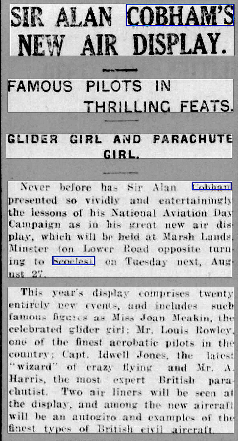
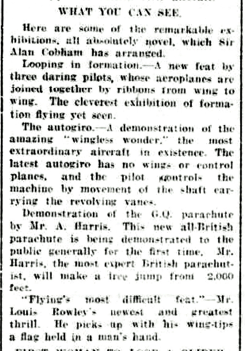
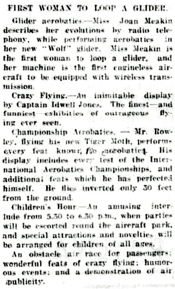
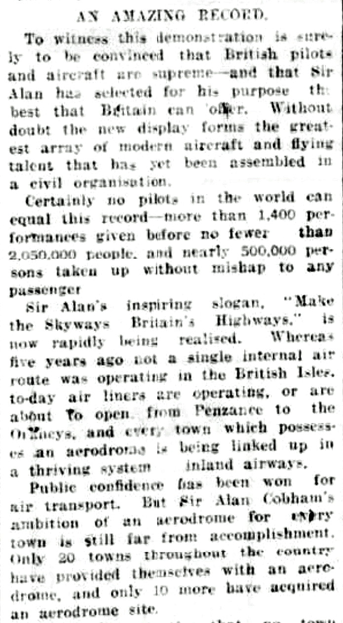
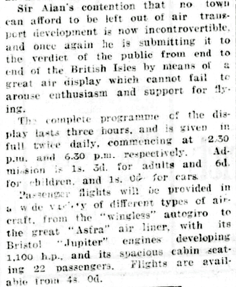
This article was published in the Sheerness Guardian and East Kent Advertiser on the 24th August 1935.
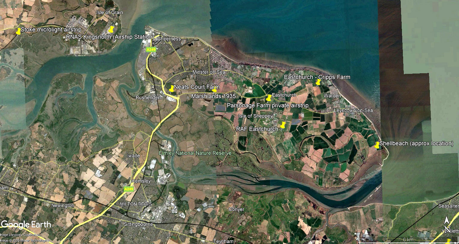
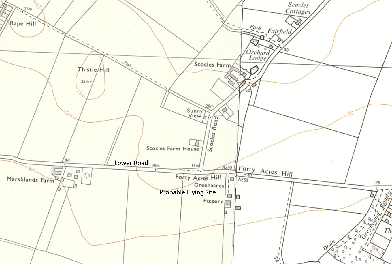
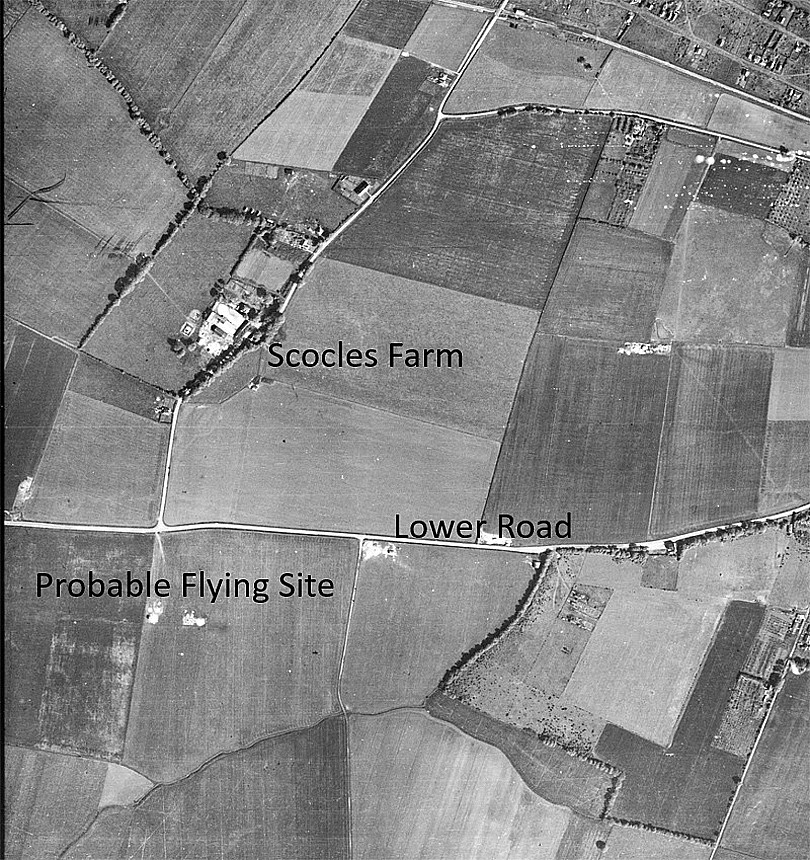
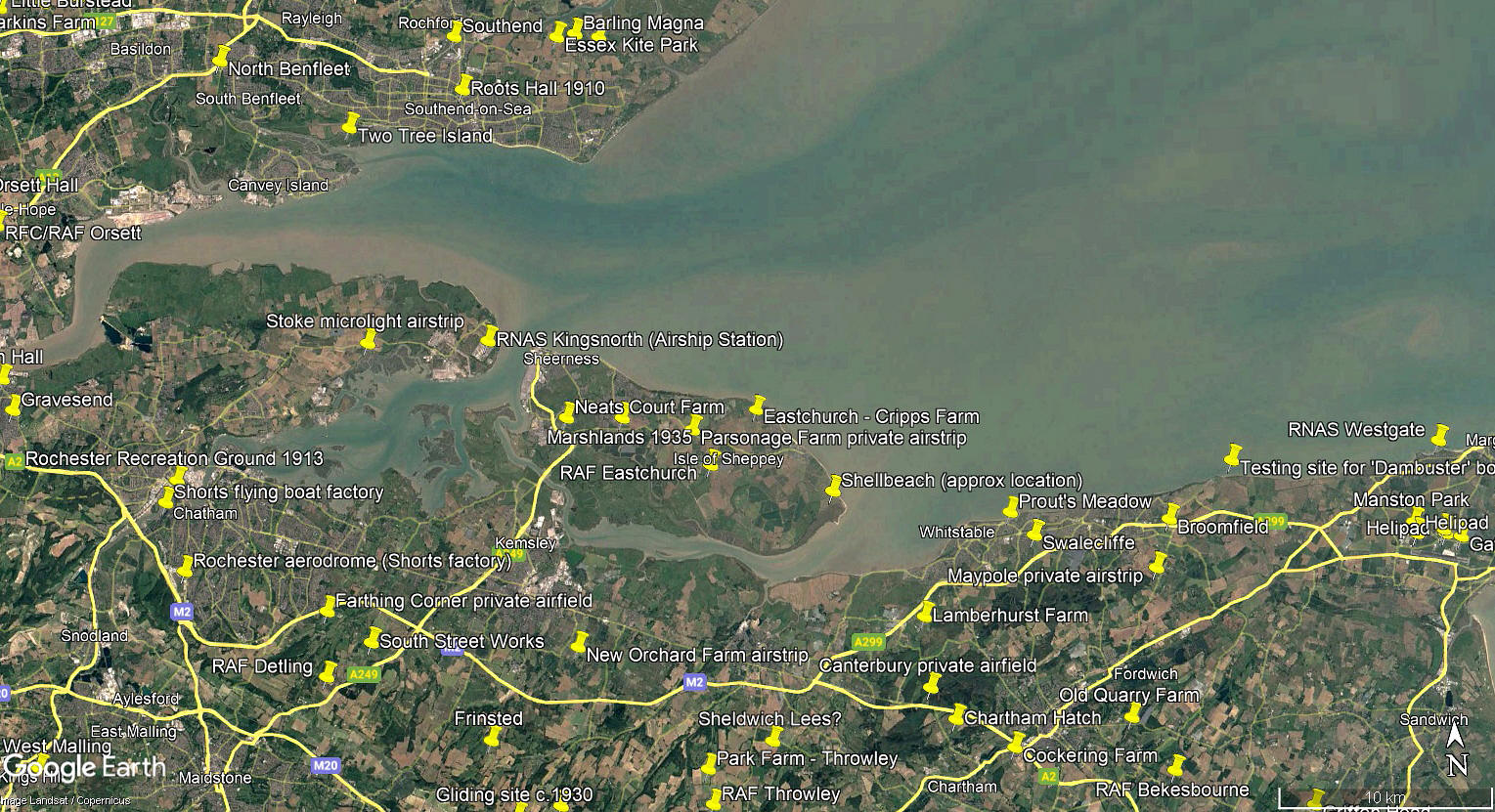
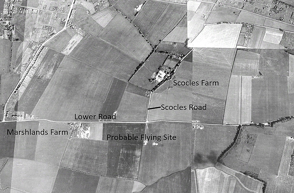
The local area and area views are from my Google Earth© derived database.
NOTES: I find it interesting to compare the local maps above from 1933 and 1974, where very little had changed, to the recent (in 2025) Google Earth© view. The rapid expansion of so many towns, (and many villages), in the last fifty years in England especially, can give many people the entirely false impression that England is densely populated. It is not at all, in fact far from it. To prove this I can highly rcommend arranging a flight in a light aircraft to explore, even flying around locally, most parts of England.
Indeed, when taking passengers up from Wycombe Air Park or Elstree, when I was flying, (both being aerodromes near to Greater London), it was often remarked after landing - "Where have all the houses gone?" The main reason is that local planning authorities have, for many a year, approved ribbon development alongside main roads. This shielding from view when driving, just how much countryside exists.
We'd love to hear from you, so please scroll down to leave a comment!
Leave a comment ...
Copyright (c) UK Airfield Guide
