














Maydown helipads
MAYDOWN HELIPADS: To date (2026) two significant helipads have been identified in this area north-east of Derry/Londonderry city centre
MAYDOWN HELIPAD ONE: Private helipad
Google Map ref: 55.032039 -7.233777
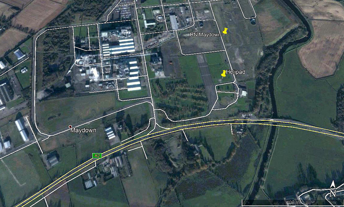
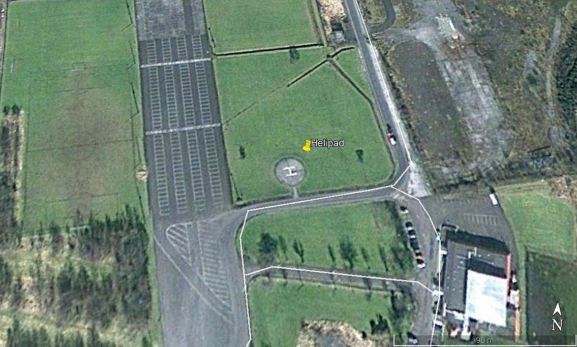
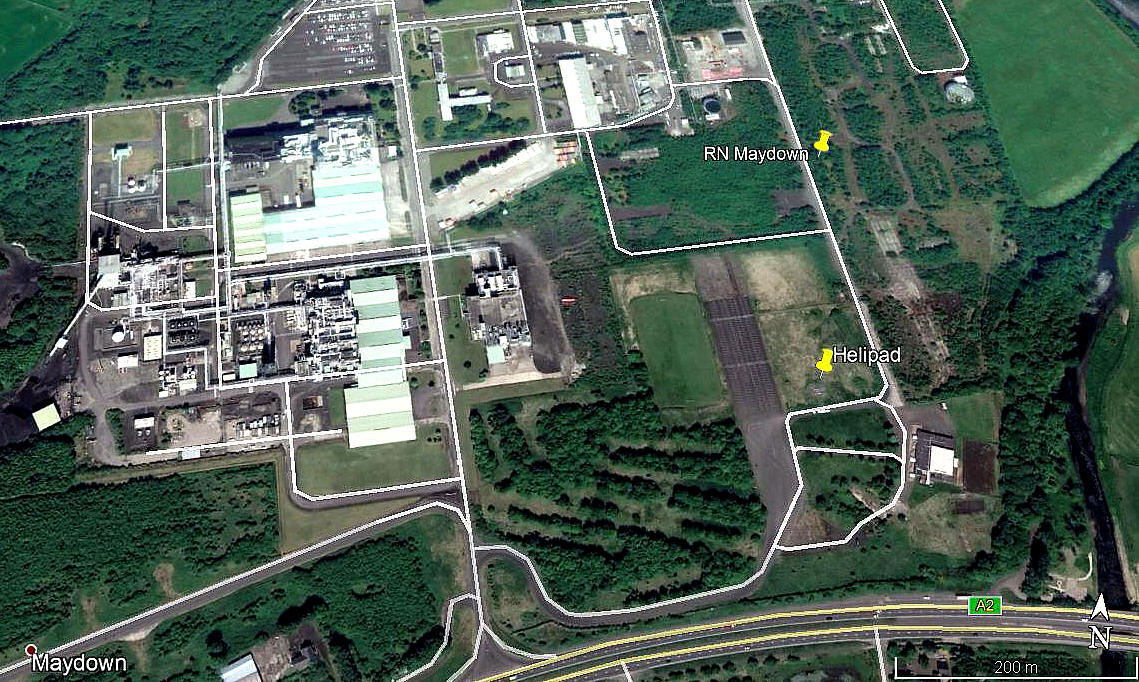
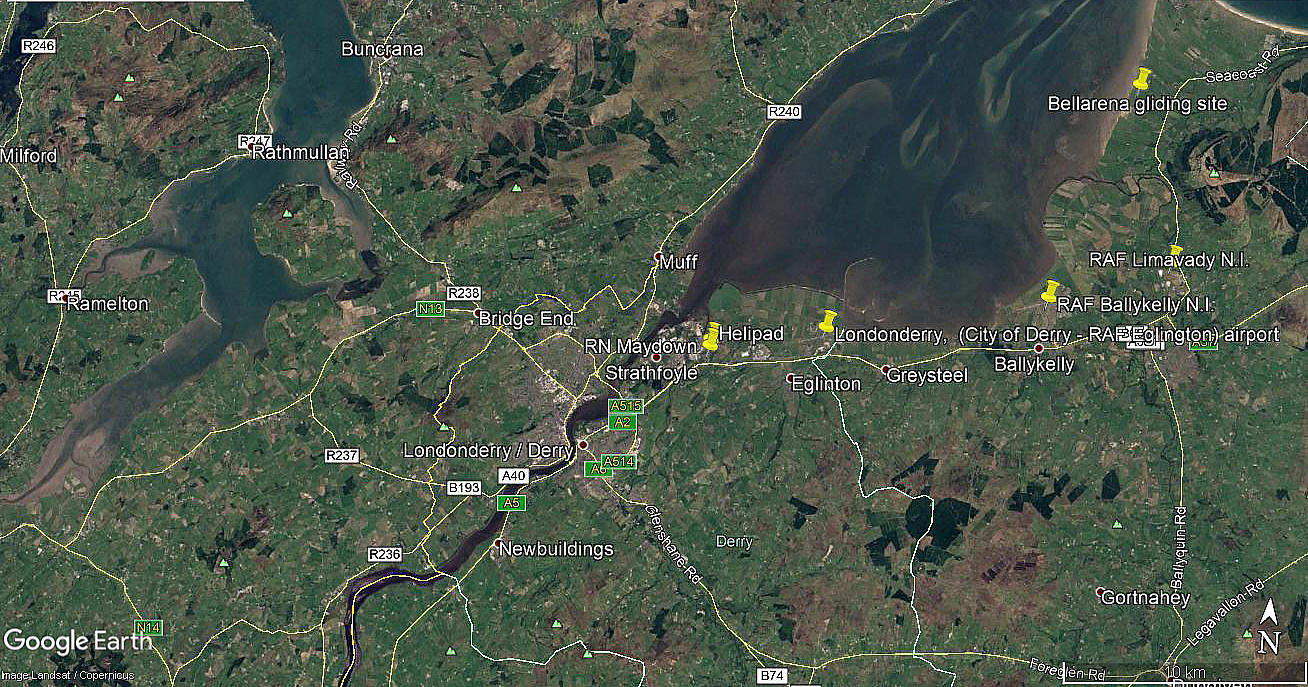
Note: The first three pictures were obtained from Google Earth © , and the area view is from my Google Earth© derived database.
Operated by: The Du Pont company
Location: About 4nm NE of Londonderry town centre
Period of operation: From 1991 (?) to around 2018
NOTES: Sometimes referred to as a heliport, but it was not, being a private company helipad.
This site operated by the Du Pont company is situated in the WW2 MAYDOWN aerodrome - see seperate listing. After WW2 as more and more aerodromes fell into disuse, many companies saught to establish manufacturing and similar activites on them. For the simple reason that all the basic facilities such as electricty, water and sewereage were already in place.
MAYDOWN HELIPAD TWO
Google map ref: 55.026489 -7.255952
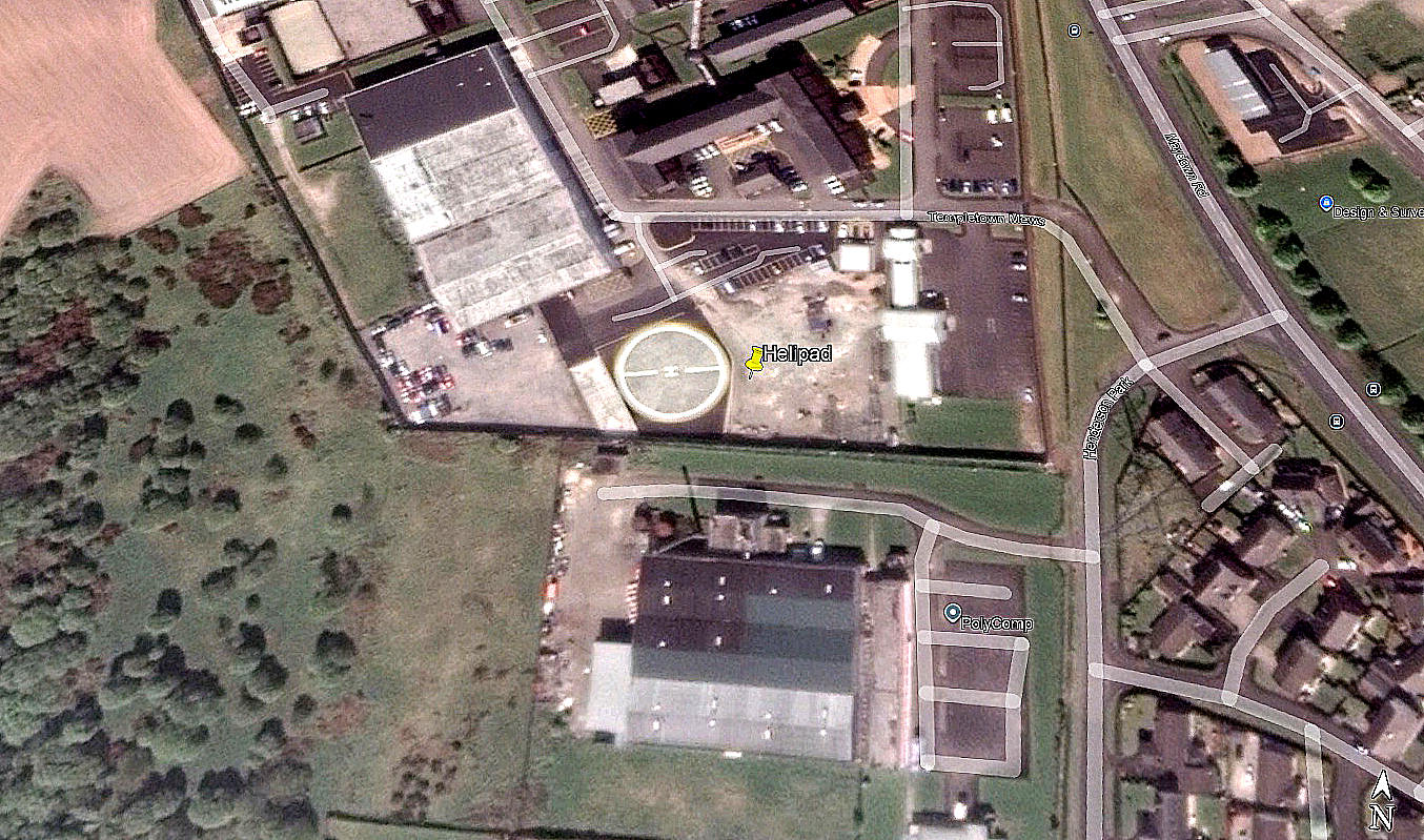
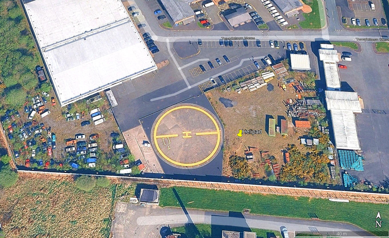
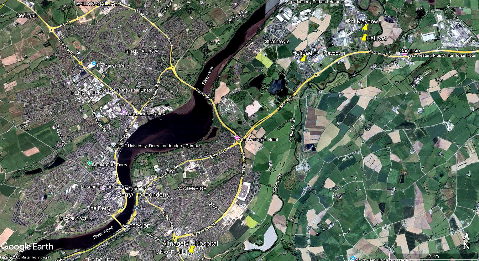
The first two pictures were obtained from Google Earth©, and the local view is from my Google Earth© derived database,
Operated by: Police Service, Northern Ireland
Location: Roughly 3.5nm NE of Londonderry city centre
Period of operation: c.2010 to -
We'd love to hear from you, so please scroll down to leave a comment!
Leave a comment ...
Copyright (c) UK Airfield Guide
