


Mayobridge
MAYOBRIDGE: Private airstrip (Apparently used only by microlights?)
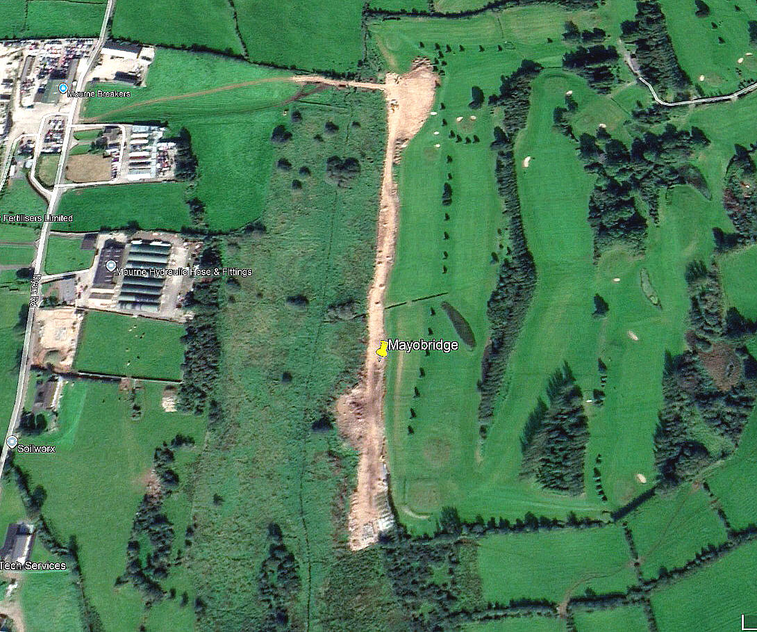
Aerial view 2020
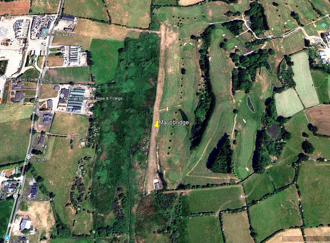
Aerial view 2024
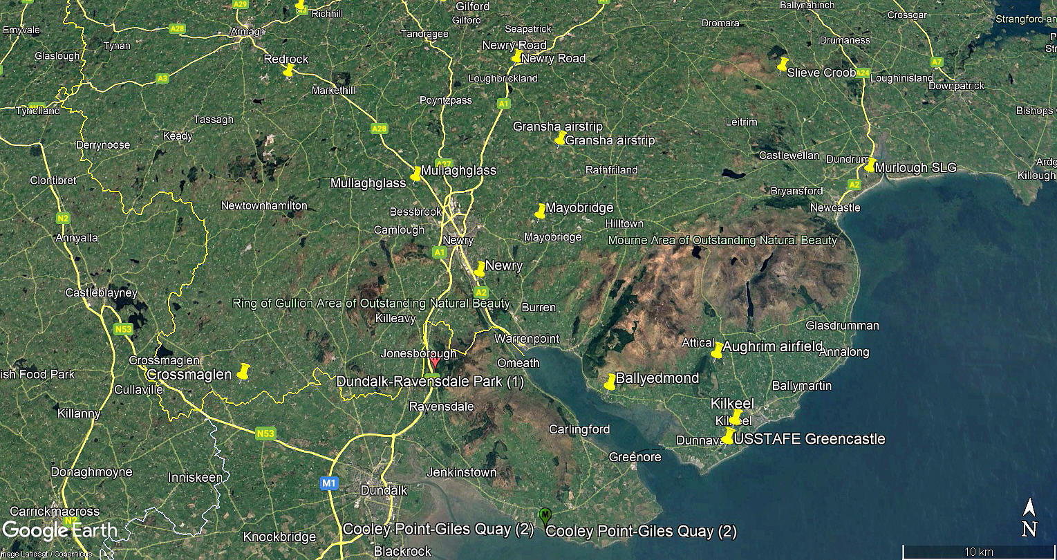
Area view
I think the 2020 view shows the strip being laid out? The first two pictures are from Google Earth ©, the area view being from my Google Earth © derived database.
Location: About 1nm NNW of Mayobridge village, roughly 4nm ENE of Newry town centre
Period of operation: Possibly from 2020 to -
Runway: 18/36 430 (Surface appears to be sand/gravel?)
NOTES: We have Mr Graham Frost, a great friend of this 'Guide', to thank for pointing out this location. If anybody can kindly offer advice, this will be most welcome. Also, pictures are always appreciated.
We'd love to hear from you, so please scroll down to leave a comment!
Leave a comment ...
Copyright (c) UK Airfield Guide
