


Palmer Moor Farm
PALMER MOOR FARM: Private airstrip
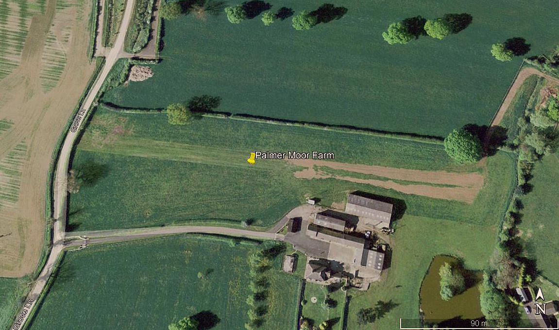
Aerial view 2007
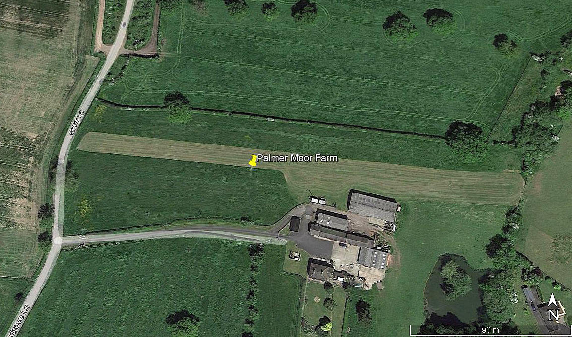
Aerial view 2013
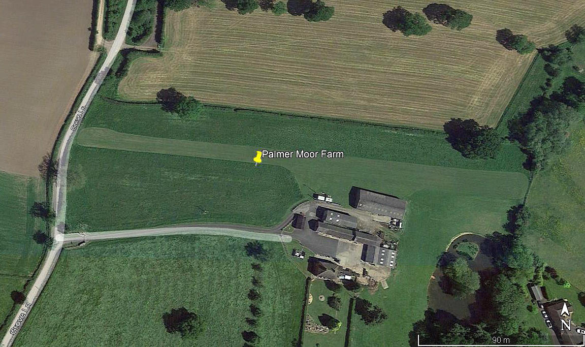
Aerial view 2017
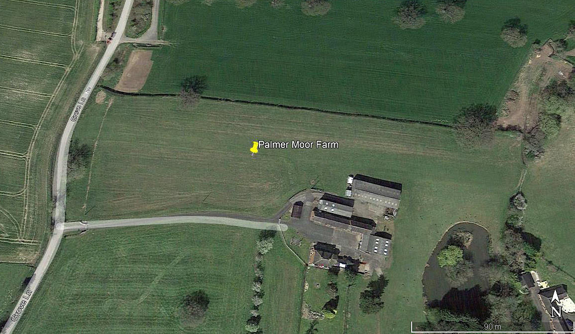
Aerial view 2021
Note: These four pictures were obtained from Google Earth ©
Location: Just E of Doveridge village, S of the A50, roughly 1.5nm ENE of Uttoxeter town centre
Period of operation: From 2006/7 (?) to -
Runway: 10/28 about 260 to 270 grass
Note: Around 2021 it appears to have been extended to 390 metres
NOTES: Initial info sources, AAIB reports EW/G2011/03/21 and EW/G2013/11/11.
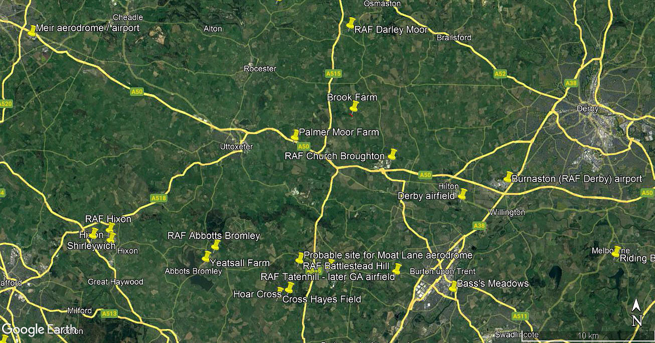
Area view
Note: This picture is from my Google Earth © derived database.
Mostly used by microlights it would appear.
We'd love to hear from you, so please scroll down to leave a comment!
Leave a comment ...
Copyright (c) UK Airfield Guide
