


Parham-Framlingham
PARHAM-FRAMLINGHAM: Private airstrip
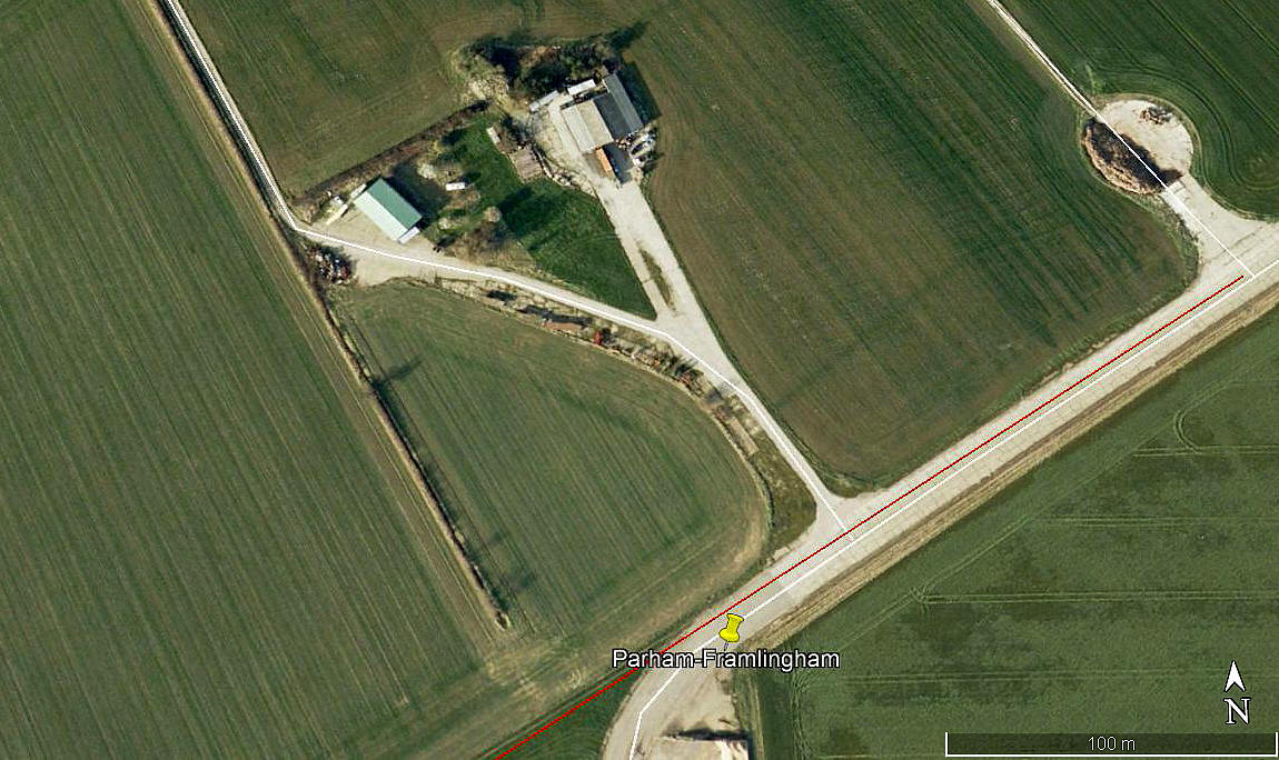
Aerial detail 2000
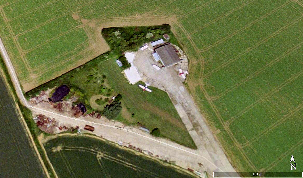
Aerial detail 2007
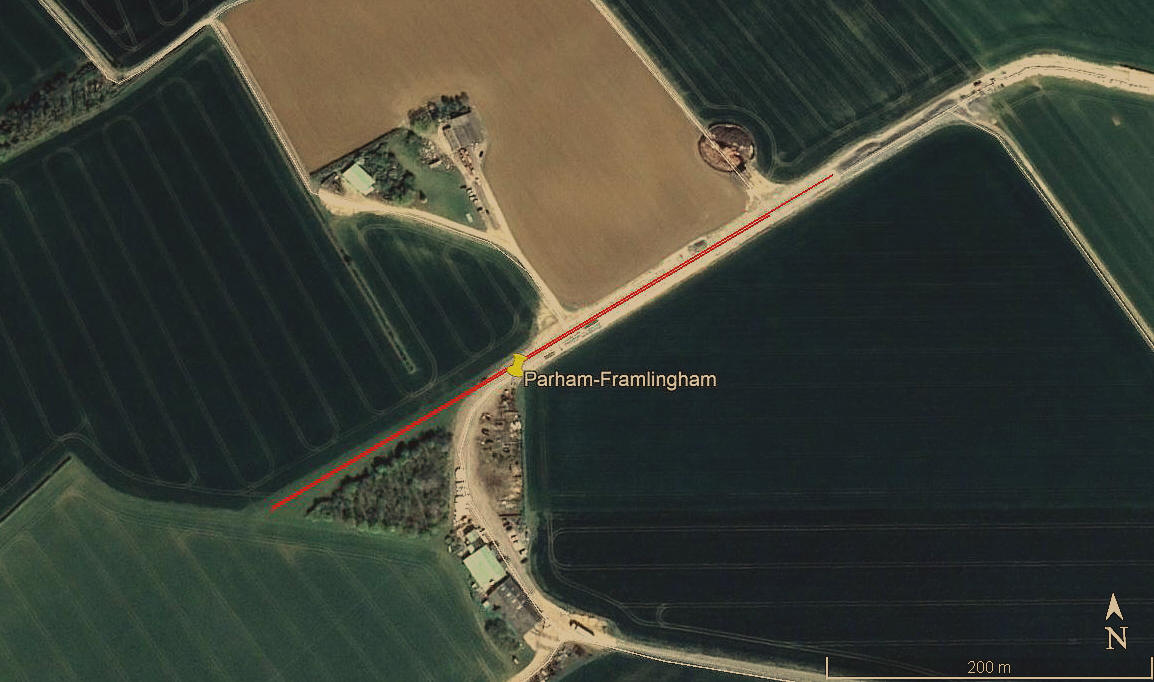
Aerial view 2019
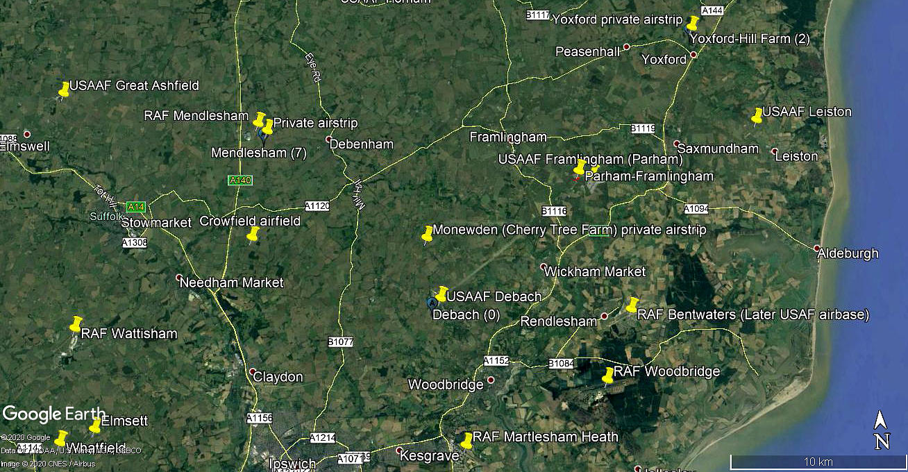
Area view
Note: All four of these pictures were obtained from Google Earth ©
Location: On NW corner of FRAMLINGHAM WW2 airfield, about 2.5nm SE of Framlingham town centre
Period of operation: 1990s (?) to -
Runway: Probably 06/24 455 grass/hard
Note: Looking back through Google Earth images it seems difficult to determine how this runway might have varied over the years. The SW grass extension from the WW2 taxyway has existed since 2000 at least, but it seems uncertain how much of the hard taxyway may have been used.
NOTES: The first picture does seem to show an aircraft in the top left?
If anybody can kindly offer advice and information, this will be much appreciated.
We'd love to hear from you, so please scroll down to leave a comment!
Leave a comment ...
Copyright (c) UK Airfield Guide
