


Passenham Manor
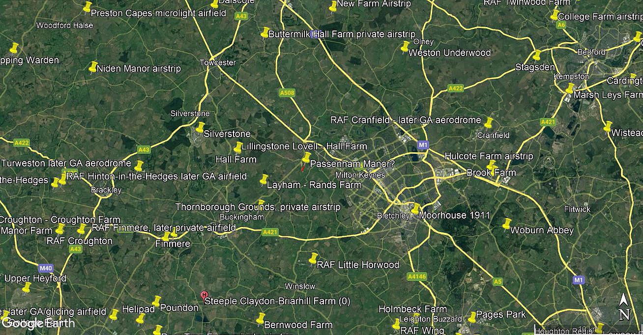
Note: The map above only gives a general location.
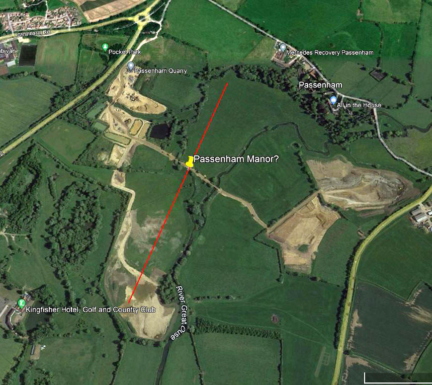
PASSENHAM MANOR: Private airstrip (Aka HAM MEADOW?)
Note: The first picture was obtained from Google Earth ©, the second from my Google Earth © derived database.
Operated by: The Hon. J C Baring
Location: Just SW of Stony Stratford, about 4nm W of Milton Keynes town centre
Period of operation: Probably from 1959 to 1978?
NOTES: We have Mr Graham Frost, a great friend of this 'Guide', to thank for pointing out this location.
It appears that the Hon. J C Baring owned four aircraft, presumably all based here? The first being the Druine D.31 Turbulent G-APTZ, registered to him, with this address, from 07.08.59 to 02.11.63. His second aircraft was the Jodel D150 G-ASKL, registered from 19.12.63 to 22.04.69. Both of which could have been safely operated from the field just adjacent to and roughly S to SW of Passenham Manor.
The problem being that he then got involved with owning two SIAI Marchetti F.260 types, G-AXKA from 18.07.69 to 18.02.70. (Also used at least once for air racing). The second being G-AXAH, registered to him from 18.02.69 to 20.11.78. But, were they also based here?
Looking at more modern pictures on Google Earth ©, it seems reasonably obvious that, before the more recent excavations appeared with their access roads, a strip of around 900 metres, orientated roughly 02/20, could well have been laid out? But of course, this is purely guesswork on my part. If anybody can kindly offer advice and information, this will be much appreciated.
PASSENHAM MANOR: Private airstrip (Aka HAM MEADOW?)
Local view
Area view
Note: The first picture was obtained from Google Earth ©, the second from my Google Earth © derived database.
Operated by: The Hon. J C Baring
Location: Just SW of Stony Stratford, about 4nm W of Milton Keynes town centre
Period of operation: Probably from 1959 to 1978?
NOTES: We have Mr Graham Frost, a great friend of this 'Guide', to thank for pointing out this location.
It appears that the Hon. J C Baring owned four aircraft, presumably all based here? The first being the Druine D.31 Turbulent G-APTZ, registered to him, with this address, from 07.08.59 to 02.11.63. His second aircraft was the Jodel D150 G-ASKL, registered from 19.12.63 to 22.04.69. Both of which could have been safely operated from the field just adjacent to and roughly S to SW of Passenham Manor.
The problem being that he then got involved with owning two SIAI Marchetti F.260 types, G-AXKA from 18.07.69 to 18.02.70. (Also used at least once for air racing). The second being G-AXAH, registered to him from 18.02.69 to 20.11.78. But, were they also based here?
Looking at more modern pictures on Google Earth ©, it seems reasonably obvious that, before the more recent excavations appeared with their access roads, a strip of around 900 metres, orientated roughly 02/20, could well have been laid out? But of course, this is purely guesswork on my part. If anybody can kindly offer advice and information, this will be much appreciated.
We'd love to hear from you, so please scroll down to leave a comment!
Leave a comment ...
Copyright (c) UK Airfield Guide
