


Pauncefoot Farm
PAUNCEFOOT FARM: Private airstrip
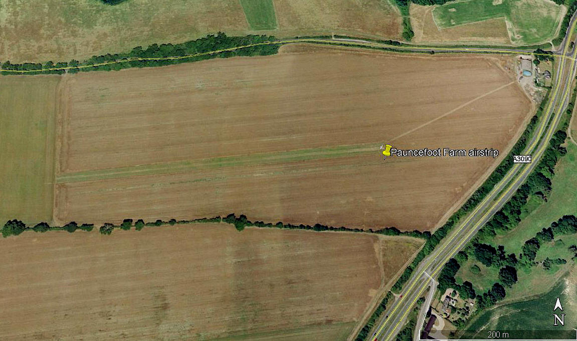
Aerial view 2002
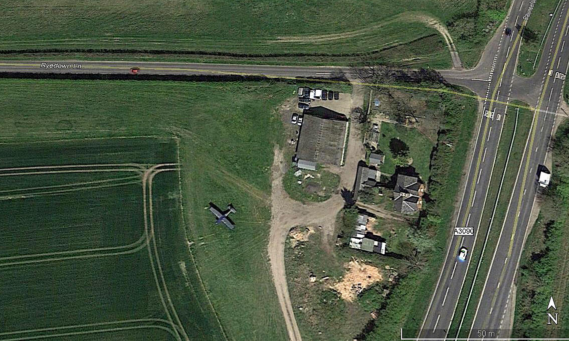
Aerial detail 2014
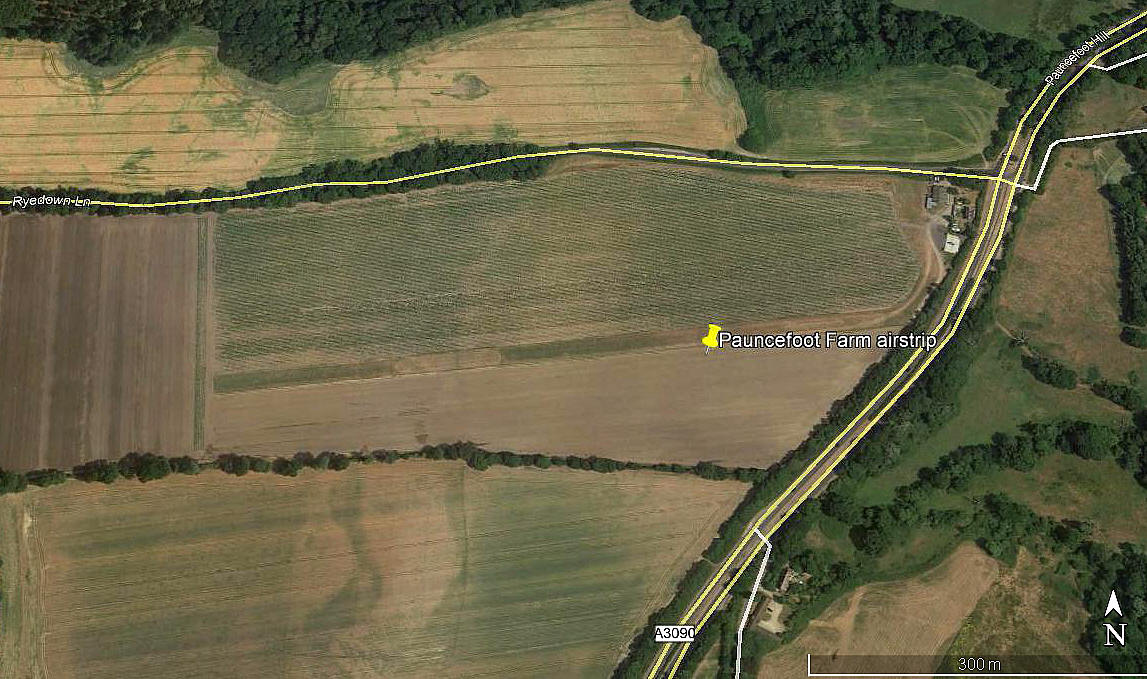
Aerial view 2018
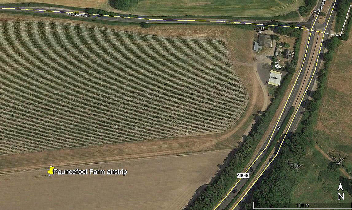
Aerial detail 2018
Note: All four of these pictures were obtained from Google Earth ©
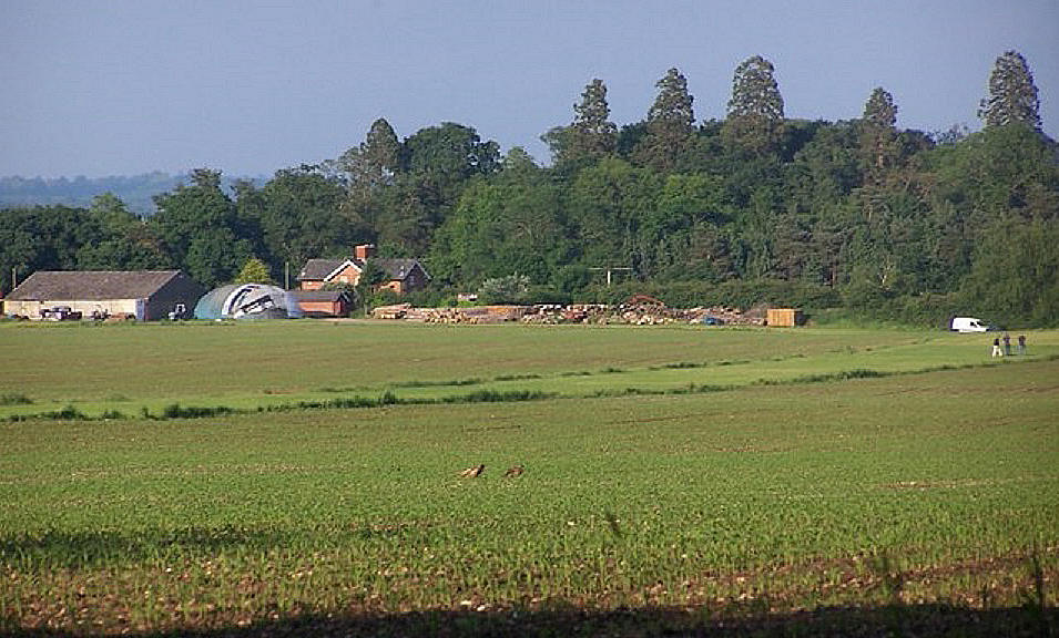
Pauncefoot Farm runway
Note: This picture is the copyright of David Martin.
Location: About 2nm SW of Romsey town centre
Period of operation: 1990s(?) to -
Runway: 2002: 08/26 480 grass
Later: 08/26 675 grass
NOTES: Apparently also used by visitors to the Romsey Show and events at Broadlands.
If anybody can kindly offer advice, this will be most welcome.
We'd love to hear from you, so please scroll down to leave a comment!
Leave a comment ...
Copyright (c) UK Airfield Guide
