


Pilgrims Farm
PILGRIMS FARM: Private airstrip (Aka TITSEY)
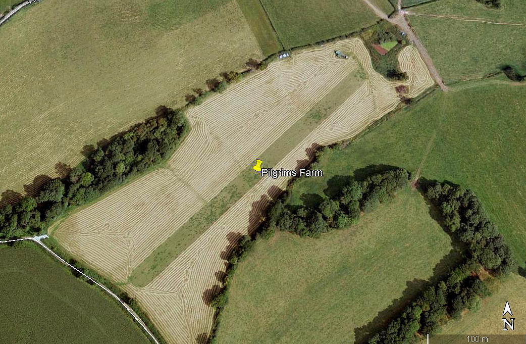
Aerial view 2005
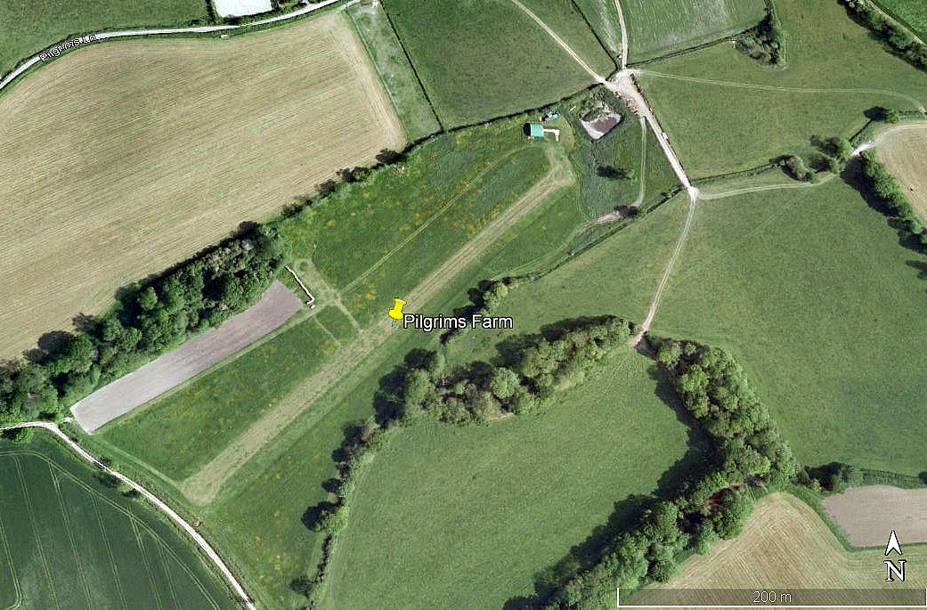
Aerial view 2009
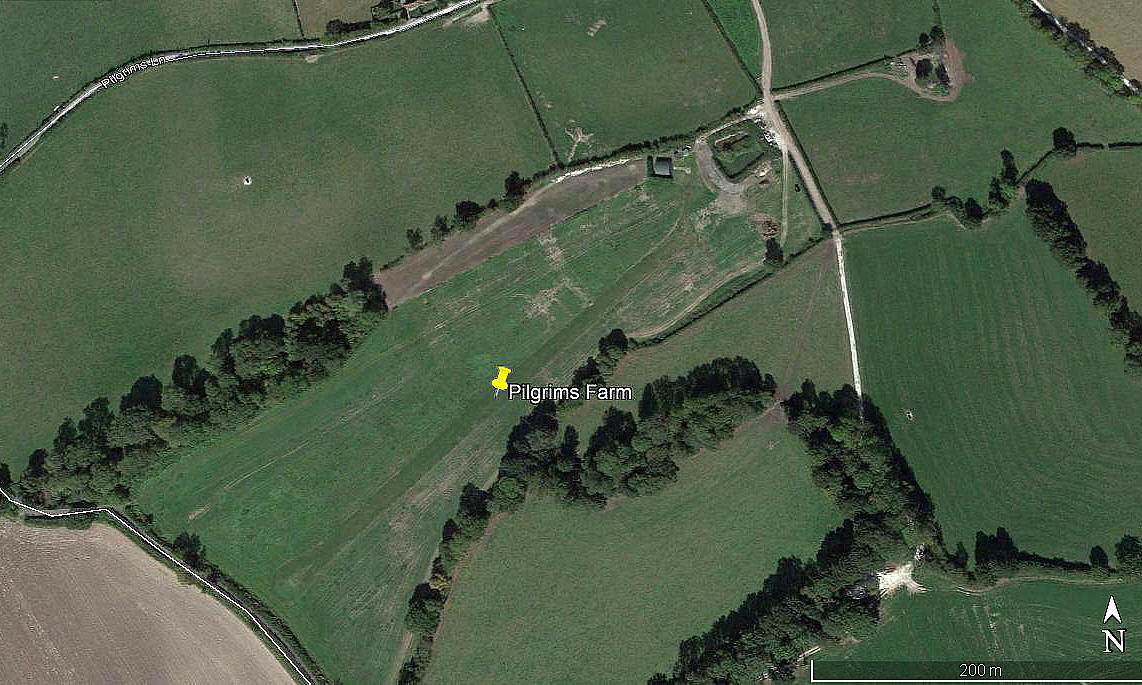
Aerial view2018
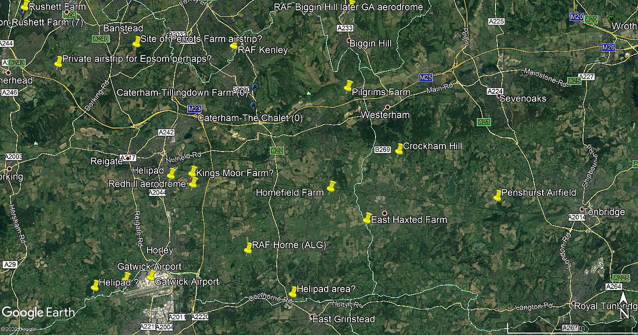
Area view 2018
Notes: All four of these pictures were obtained from Google Earth ©
Location: Just NW of Clacket Lane service area on the M25, and just E of Titsey on the B269
Period of operation: Circa 2005 to -
Runway: 05/23 365 grass
NOTE: Looking at Google Earth there is no evidence of this airstrip in 2003.
Any advice will be most welcome.
We'd love to hear from you, so please scroll down to leave a comment!
Leave a comment ...
Copyright (c) UK Airfield Guide
