


Poplars Farm
POPLARS FARM: Private airstrip/airfield (Aka DEPPERS BRIDGE)
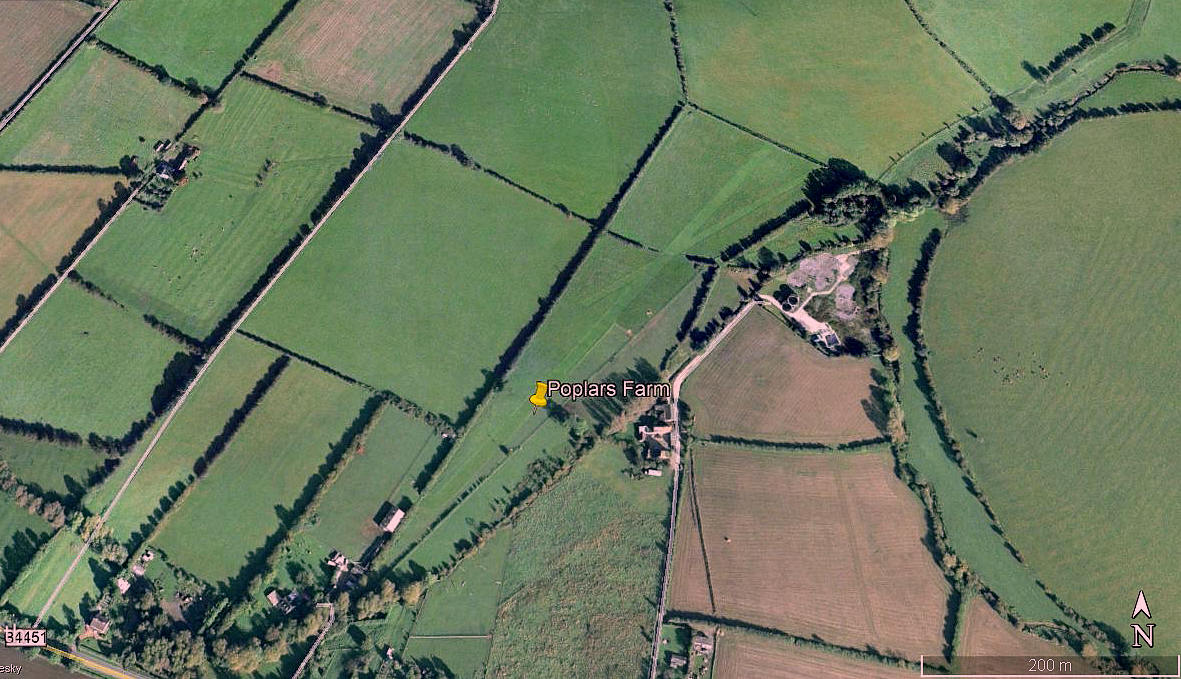
Aerial view 1999
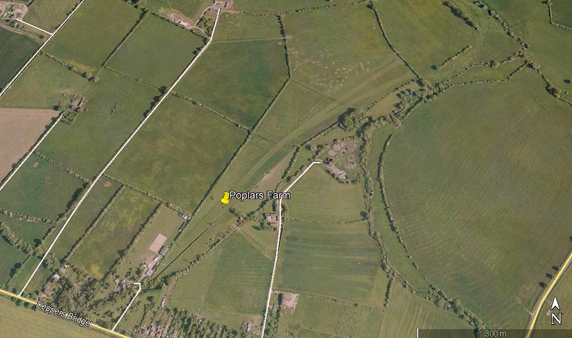
Aerial view 2012
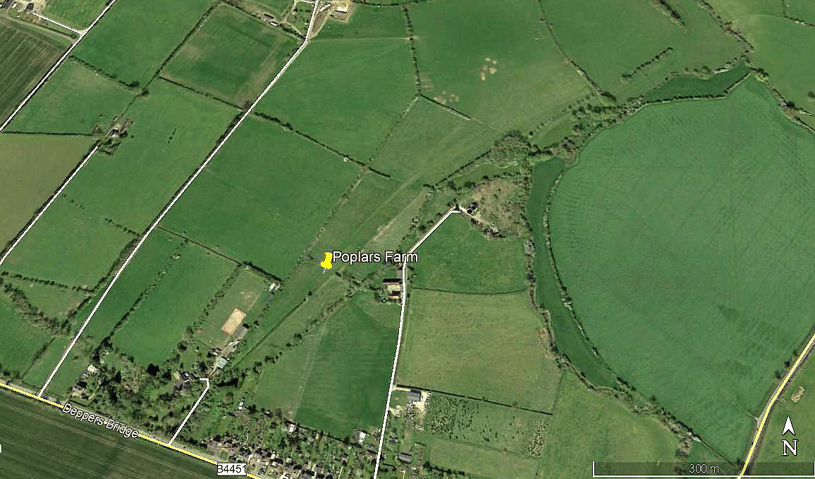
Aerial view 2017
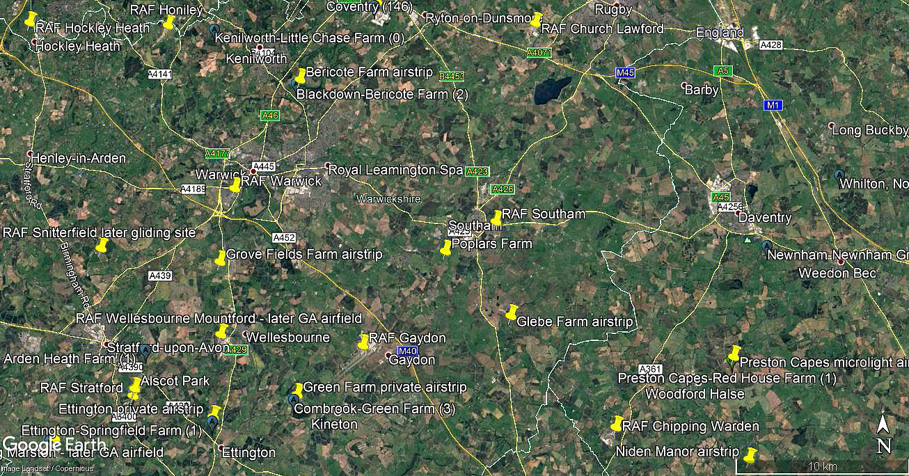
Area view
Note: All four of these pictures were obtained from Google Earth ©
Location: N of the B4445, just SW of Southam and roughly 7.5nm ESE to SE of Warwick town centre
Period of operation: 1990s(?) to -
Runways: In 1999 clearly defined. See picture.
04/22 500 grass 06/24 250 grass
Note: Since then most curiously curved at the N/E end, and seemingly merged. I cannot think of another example quite like this.
NOTES: If anybody can kindly offer advice, this will be much appreciated.
We'd love to hear from you, so please scroll down to leave a comment!
Leave a comment ...
Copyright (c) UK Airfield Guide
