














Queensferry
QUEENSFERRY: Originally private airfield later military aerodrome known both as NORTH SHOTWICK and SOUTH SHOTWICK, later simply SHOTWICK, the two sites being co-located (also known as SANDYCROFT) Later to become, in part at least, RAF SEALAND.
See listing for SEALAND for more info and pictures
Military users: WW1: RNAS/RFC/RAF Training Squadron Station
Training Depot Station
Aircraft Acceptance Park 1918 to 1924?
1919 to 1940: 5 FTS (RLG)
Flying School: 1916 to 1917: Dutton Flying School
WW2: One of 48 MU (HAWARDEN) dispersal airfields
Location: Just south of the B1529, roughly 5nm WNE of Chester
Period of operation: 1915 to 1945?
Site area: WW1: 165 acres 914 x 823
Later (after the sites combined?) 217 acres 1372 x 640
A MICHAEL T HOLDER GALLERY
We have Mike Holder, a great friend of this 'Guide', to thank for providing the following items.
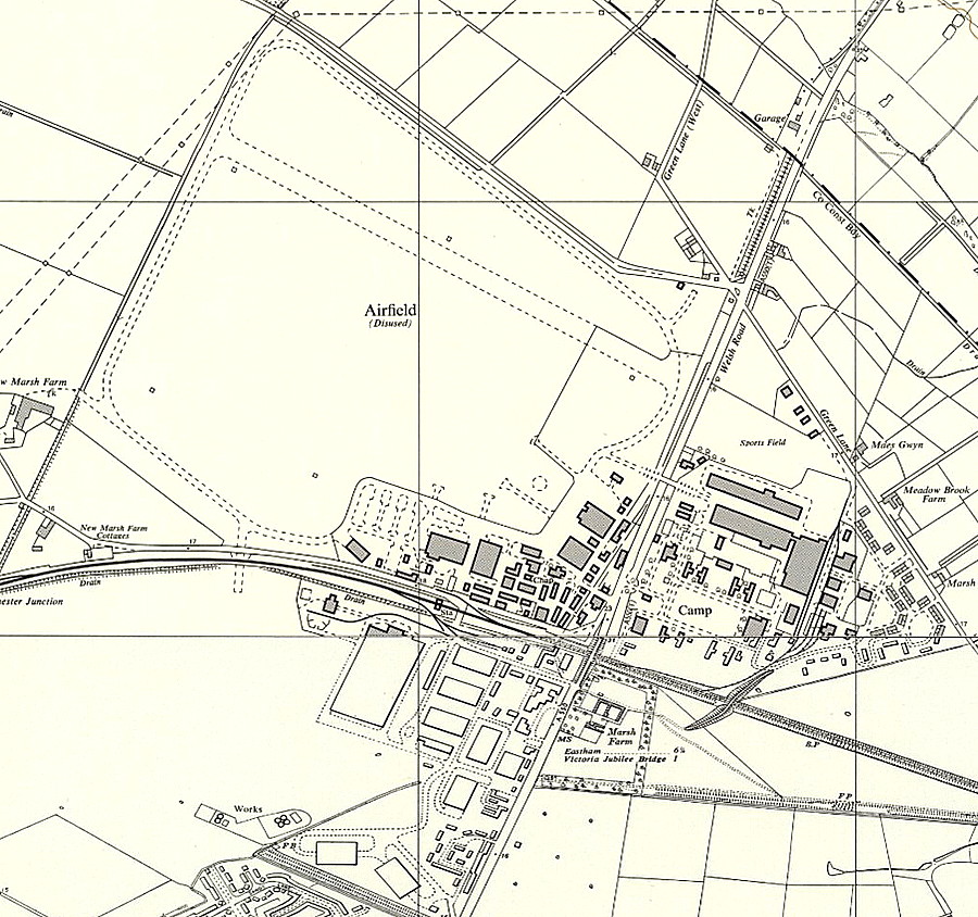
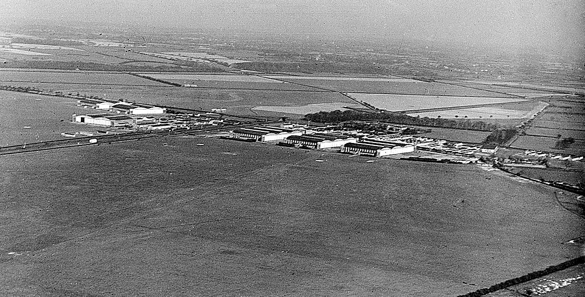
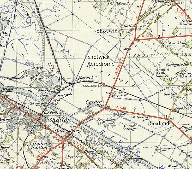
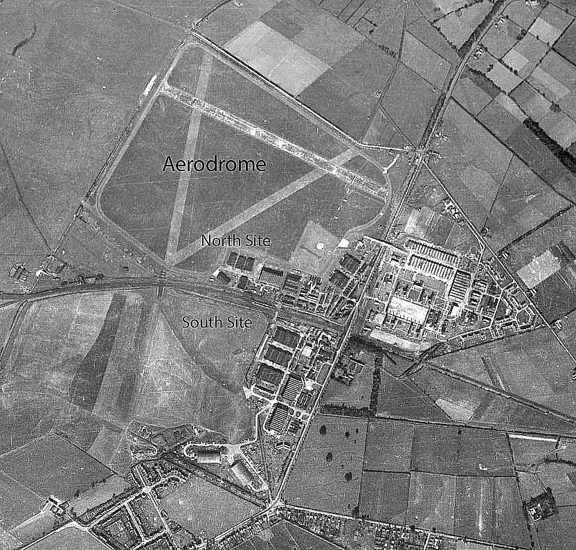
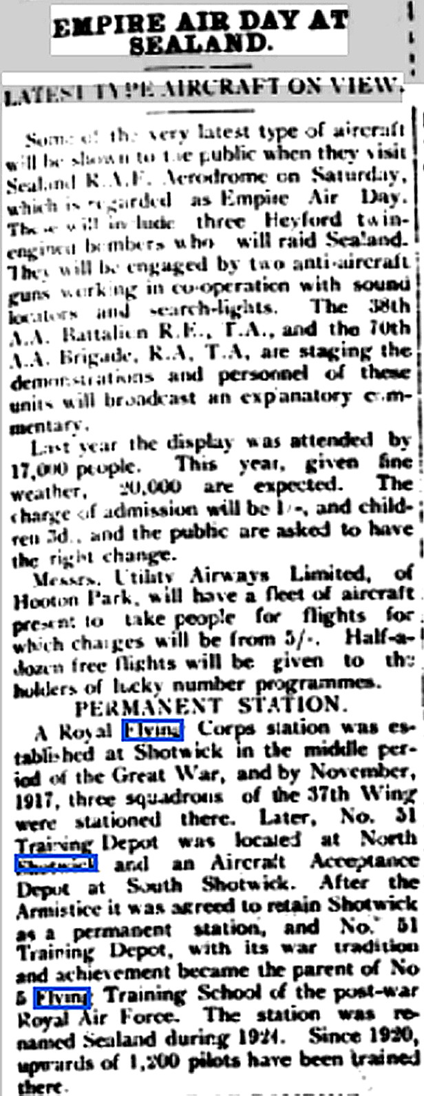
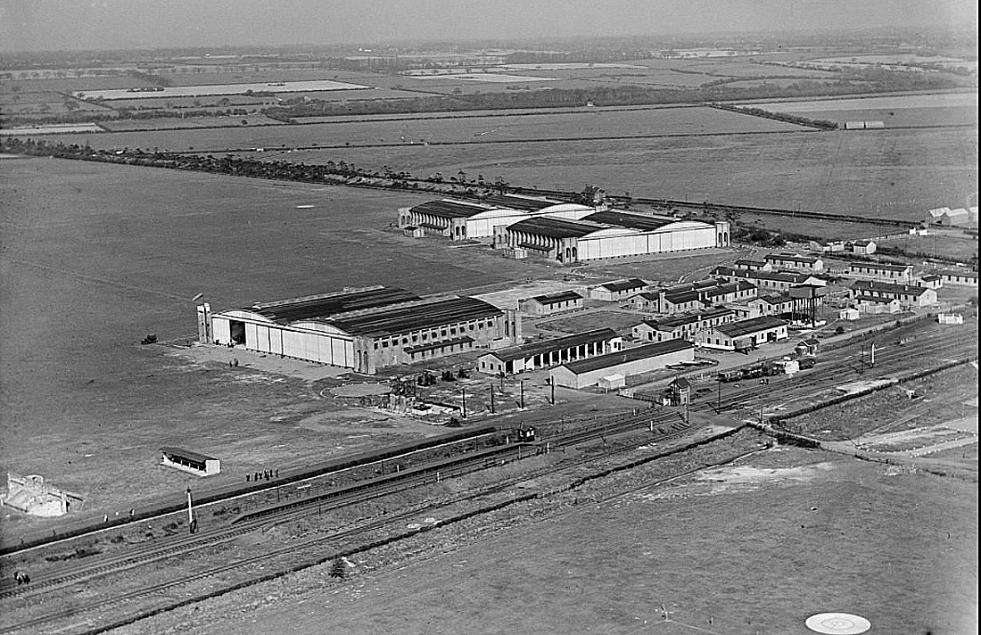
The article was published in the Flintshire County Herald on the 27th May 1938.
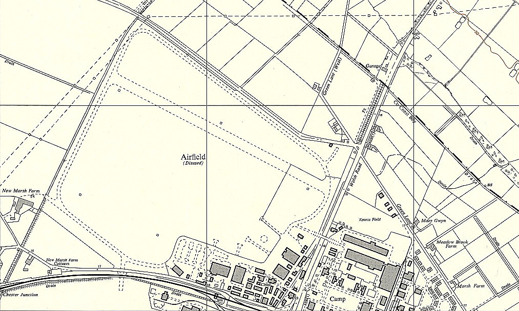
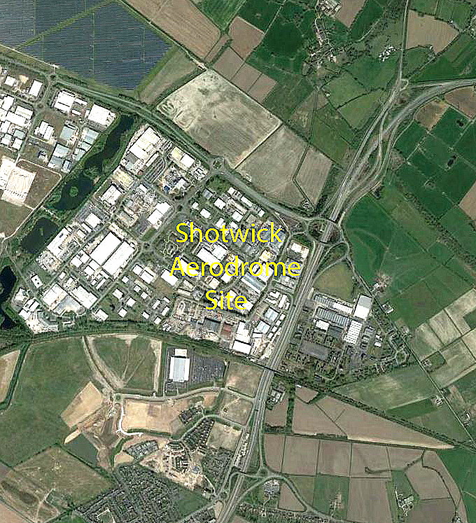
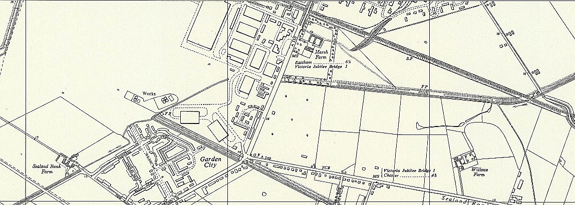
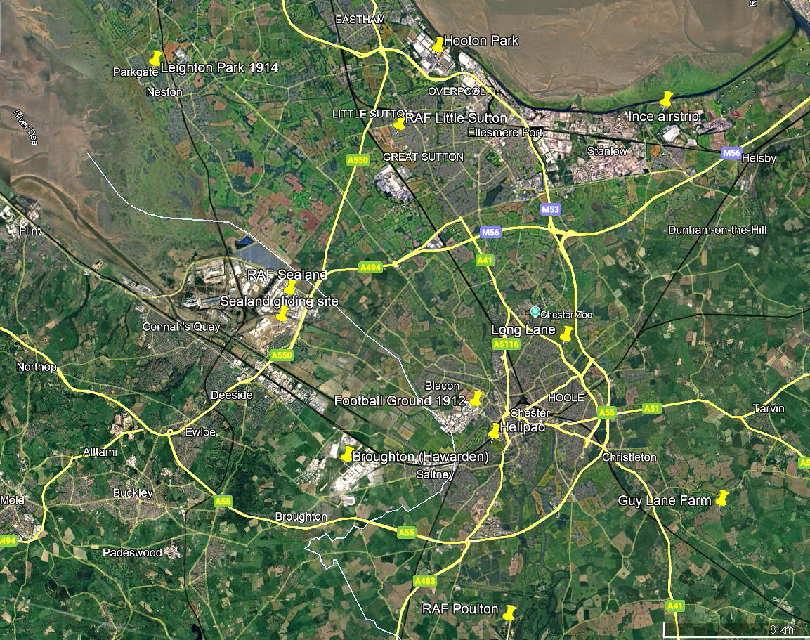
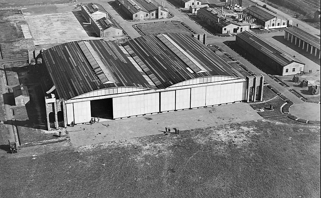
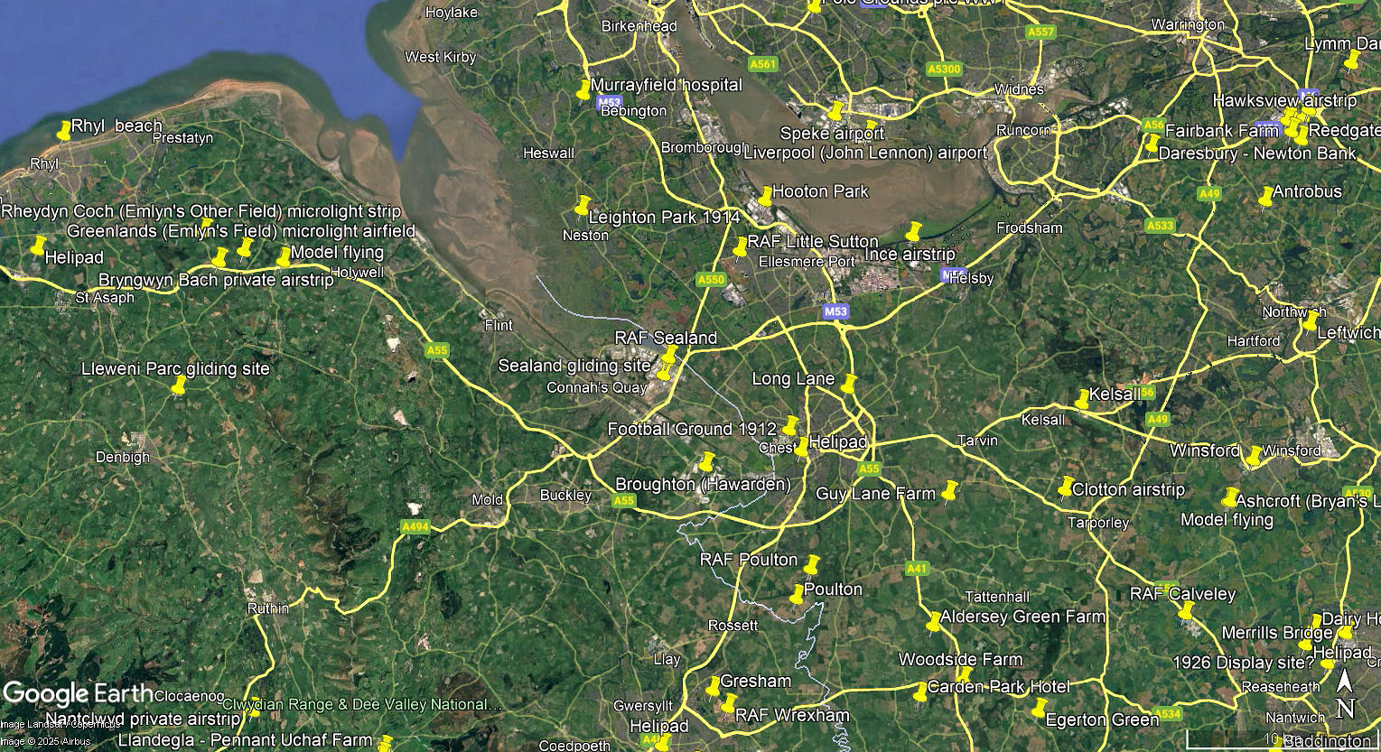
The local area and area views are from my Google Earth© derived database.
NOTES: In WW1 the Dutton aircraft works was nearby. In their most excellent book ‘Wings Across the Border’ by Derrick Pratt & Mike Grant an interesting insight into aircraft building is given. Dutton was making most of the parts for a modified Caudron G.3 here for military use. However, when it came to sourcing materials for this type of aircraft wood was obtained from Chester or Connah’s Quay, (via J Musgrave, or W M Butter & T J Reney), airframe fabric from United Mills in Chester, (who were mainly sail-makers and tarpaulin manufacturers, and A E Owen, (where?), supplied bracing irons and rigging wire etc.
It might now seem unlikely but apparently the second-hand Le Rhone engines were obtained from Government surplus stores or - …from friends who had enlisted for military duty and laid up their aeroplanes! Dutton rebuilt these engines at their Queensferry works. The story of how Mr Thomas Murthwaite Dutton got involved in aviation is also explained in detail.
SOMETHING OF INTEREST?
What I now find so interesting is just how closely this process of building aircraft so closely resembles the present day practise of PFA home-builders. It seems almost identical in the search for people and/or companies able to provide the requisite parts and the quest for proven quality and reliability. Best price, best service etc, etc.
Just to give you some idea how seemingly impossible it is to be certain about so many aspects of aviation history, in 1917 Mr Thomas Murthwaite Dutton advertised his “Murray, (which was his nickname), Dutton’s Flying School, Sealand, Queensferry. All aspects of Flying Tuition undertaken. Service personnel trained”. Looking at other evidence it does seem that Dutton was the first person to refer to SHOTWICK as SEALAND. Unitil 1924 it seems the SEALAND site was known as RAF SHOTWICK.
PAYING TO FLY
Incredibly it seems that those that wished to fly, whether officers in the military, or civilians wanting to participate in the military war effort had to learn to fly at their own expense initially! On gaining a Pilots Certificate, and on being accepted by the military, they then had the tuition fees refunded. This begs another question, with an average life expectancy of just two weeks with an operational squadron on the Western Front throughout a substantial period of WW.1, I now wonder how many refunds actually took place? Did the military authorities tell these ‘wannabe’ pilots they had an average two weeks life expectency if posted to the Western Front when signing up?
A COMPLETE MYSTERY
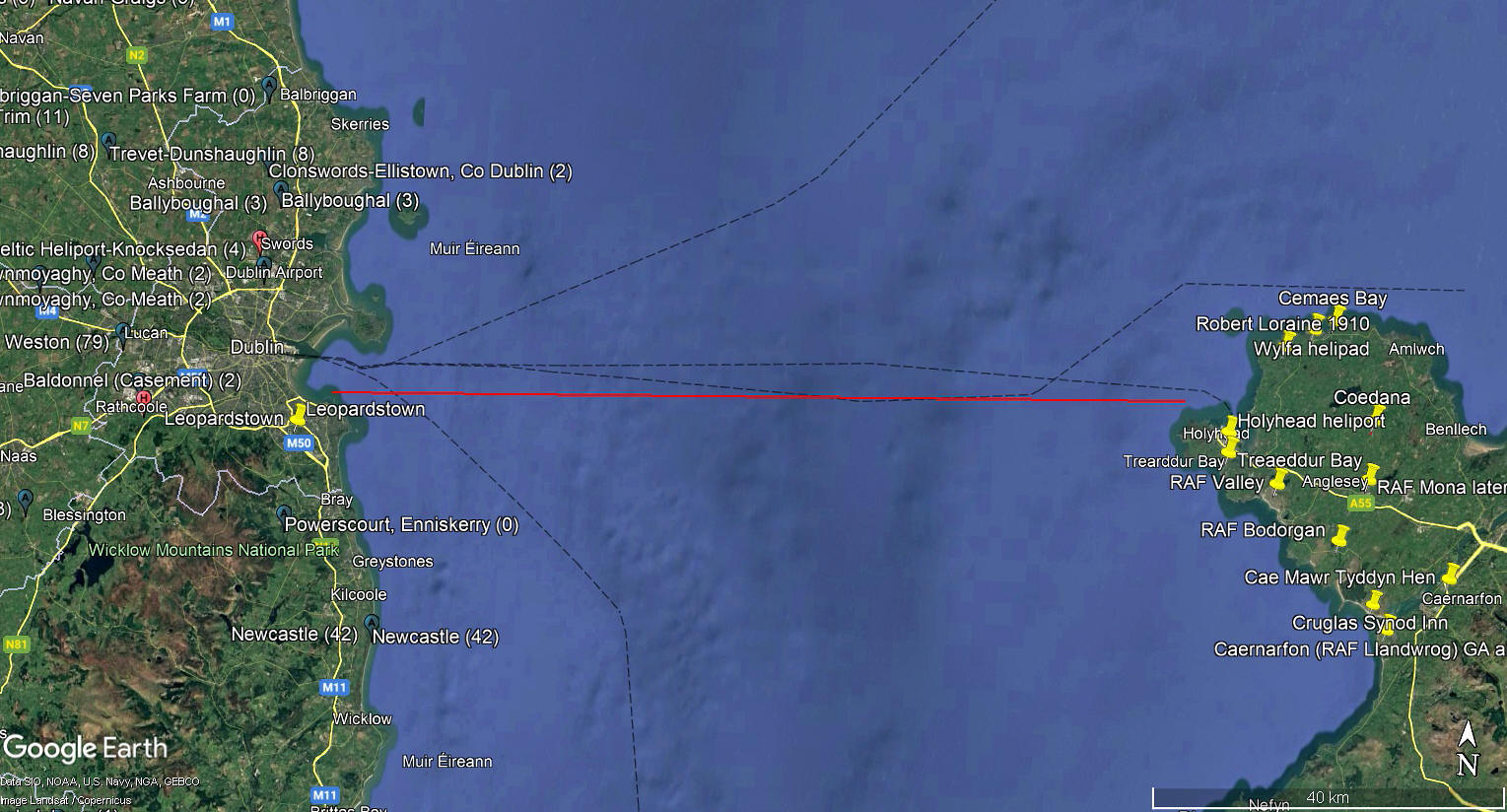
In late 2025, Mike Holder, a great friend of this 'Guide', discovered an article published in the Northern Whig on the 27th February 1920. In some ways perhaps, resembling the infamous accounts of aircraft vanishing in the 'Bermuda Triangle'. This is just our version, a precis really.
On Saturday 21st February 1920 three RAF aeroplanes, equipped with radios, left SHOTWICK to fly to BALDONNEL aerodrome located south-west of Dublin. They were last seen flying between Denbigh and Rhyl, so clearly following a direct westerly route.
After coasting out from Anglesey the distance to the Irish coast is roughly 60 miles flying directly west, so taking about half an hour even at 120mph. Even a most rudimentary check of their elapsed time in flight would have shown that the Irish coast should be in sight after thirty minutes. I suppose we can assume, especially at that time of year, that visibilty may well have been poor, or perhaps even flying in cloud? We will never know of course but why at least one of those pilots, presumably the leading pilot turned south to south-west and kept on going for at least another hour, obviously hopelessly lost, defies explanation.
The Master of the Norfolk Ranger reported that an aeroplane came down in the sea 85 miles SW of the Scilly Islands at 4:35pm on Saturday. A lifeboat was launched but owing to the rough sea attempts to rescue the pilot were unsuccessful. Nothing was heard from the other two pilots and they were never found. The crash site of that one aeroplane was roughly 250 miles south to south-west of the destination aerodrome.
We'd love to hear from you, so please scroll down to leave a comment!
Leave a comment ...
Copyright (c) UK Airfield Guide
