


Roston
ROSTON: Military Landing Ground
Military users: RFC/RAF Day & Night Landing Ground
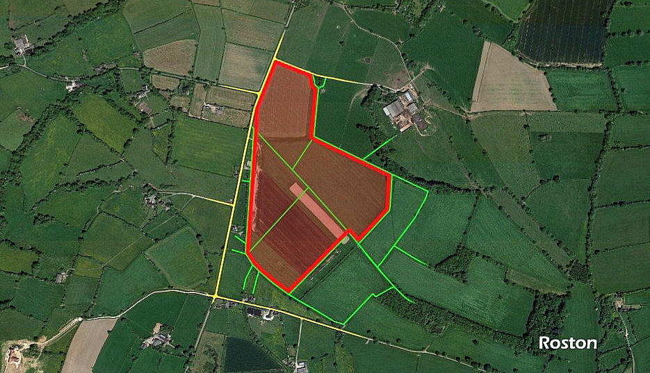
Aerodrome plan
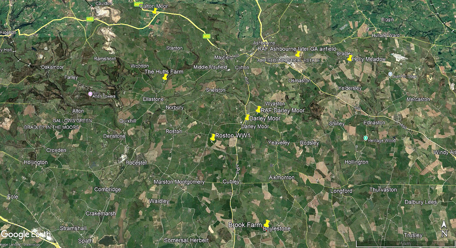
Local area view
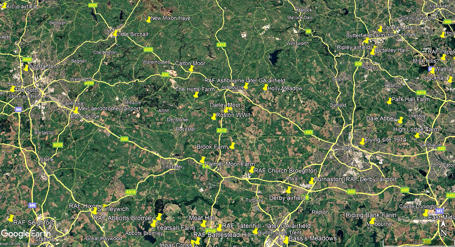
Area view
The aerodrome plan, courtesy of Ed Andrews, was obtained from the Airfields of Britain Conservation Trust. A wonderful resource. The local area and area views are from my Google Earth © derived database.
38 [Home Defence] Sqdn (Equipped with BE.2c initially, later the FE.2b)
Location: 1.25nm ESE of Roston village, about 1nm S of the B5033, roughly 1.75nm SW of RAF DARLEY MOOR and about 4nm SSW of Ashbourne town centre
Period of operation: 1916 to 1918
We'd love to hear from you, so please scroll down to leave a comment!
Leave a comment ...
Copyright (c) UK Airfield Guide
