


Sadberge
SADBERGE: Military Landing Ground
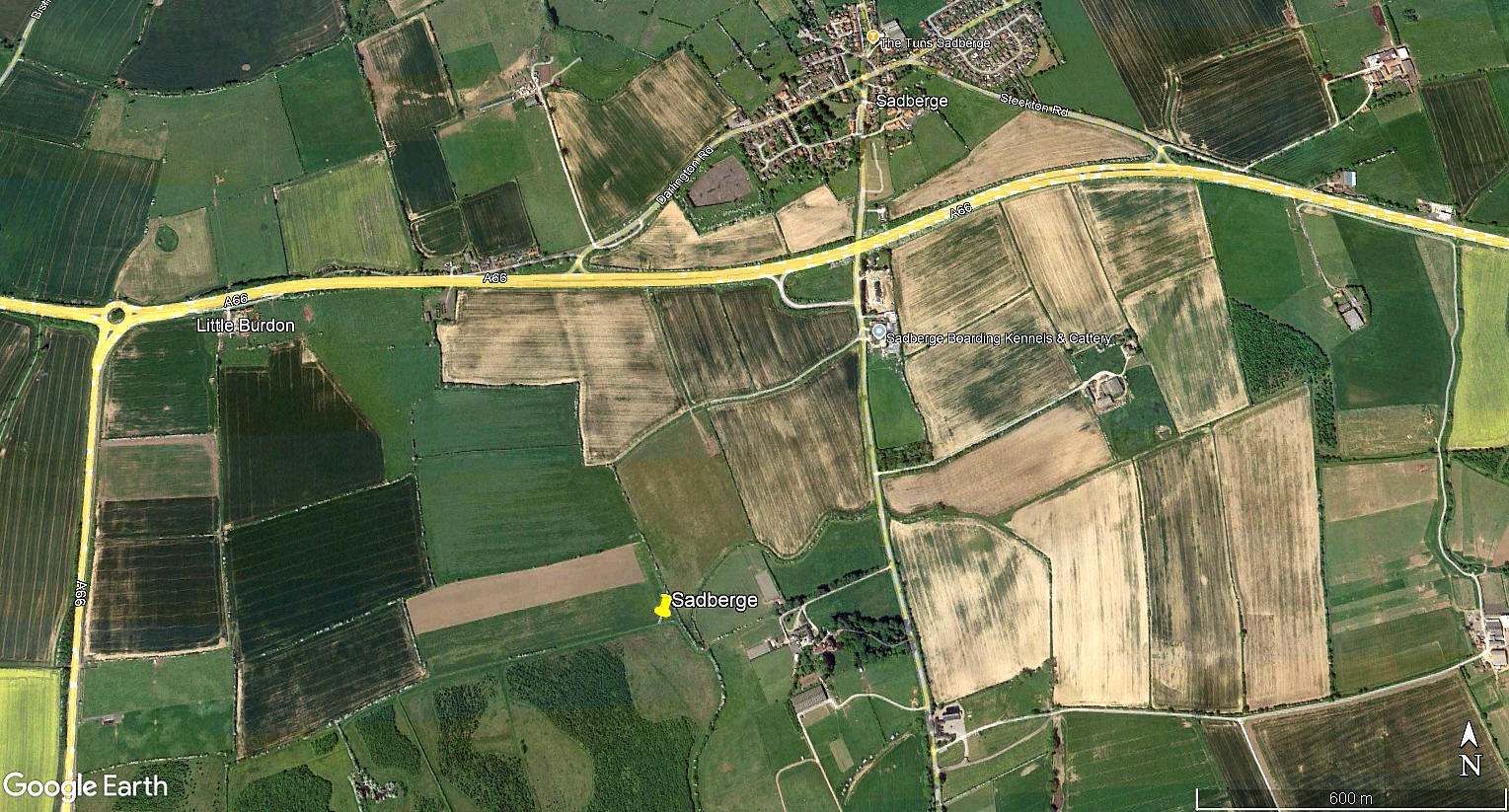
Local view
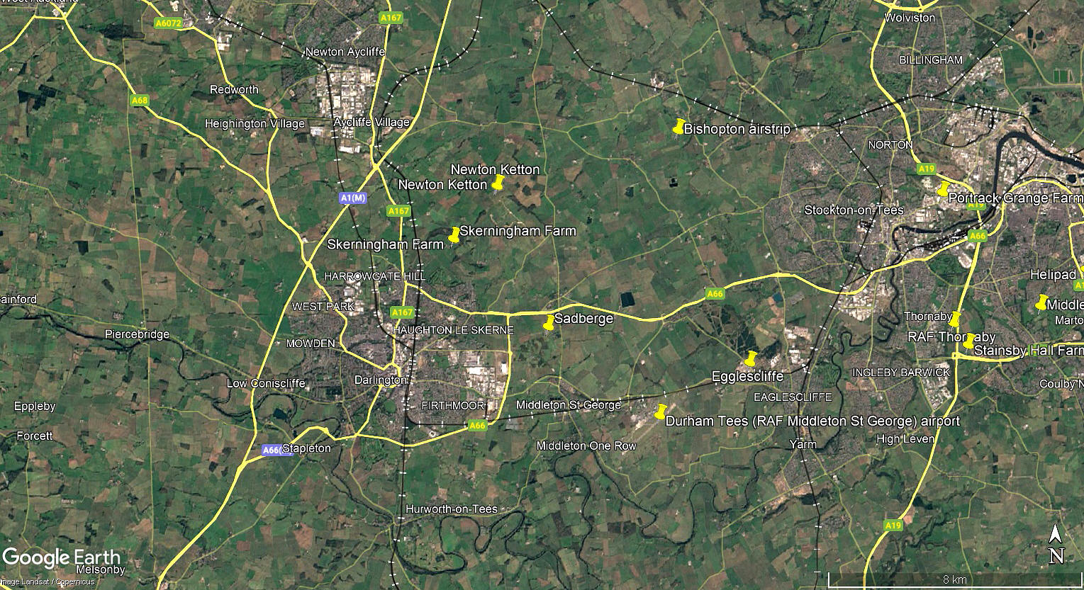
Local area view
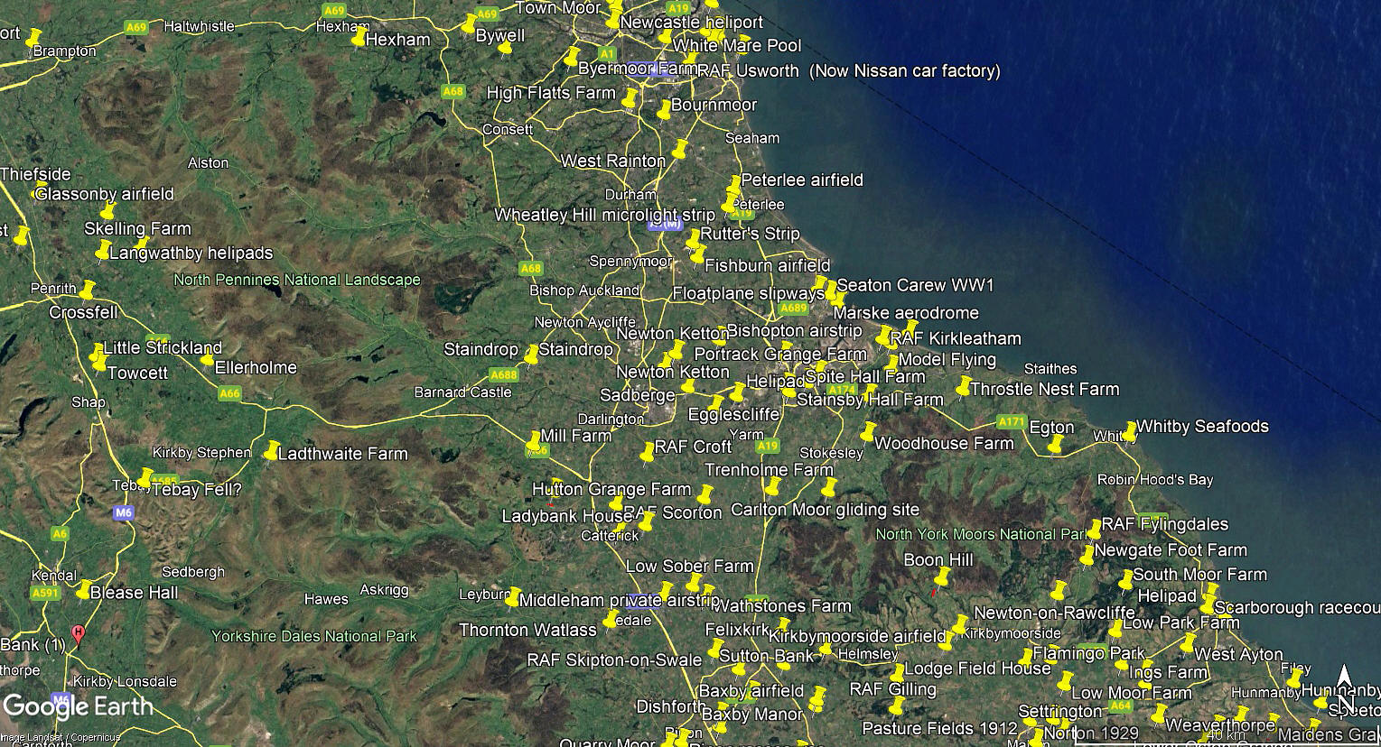
Area view
These three pictures are from my Google Earth © derived database.
Military users: RNAS (Royal Naval Air Service) / RFC (Royal Flying Corps) / RAF (Royal Air Force)
RNAS Home Defence Night Landing Ground 1917 to 1918
RFC/RAF Night Landing Ground 1918 to 1919
36 [Home Defence] Sqdn (Possibly Royal Aircraft Factory B.E.2c?)
Location: Bounded on the W and N by the A66, about 1nm SW of Sadberge and about 3nm ENE of Darlington town centre
Period of operation: 1917 to 1919
Site area: 34 acres
We'd love to hear from you, so please scroll down to leave a comment!
Leave a comment ...
Copyright (c) UK Airfield Guide
