


Saint Catherine
SAINT CATHERINE: Microlight strip
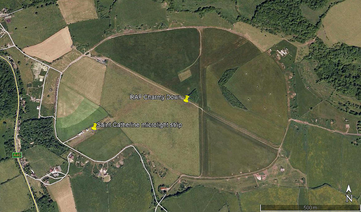
Local area 2009
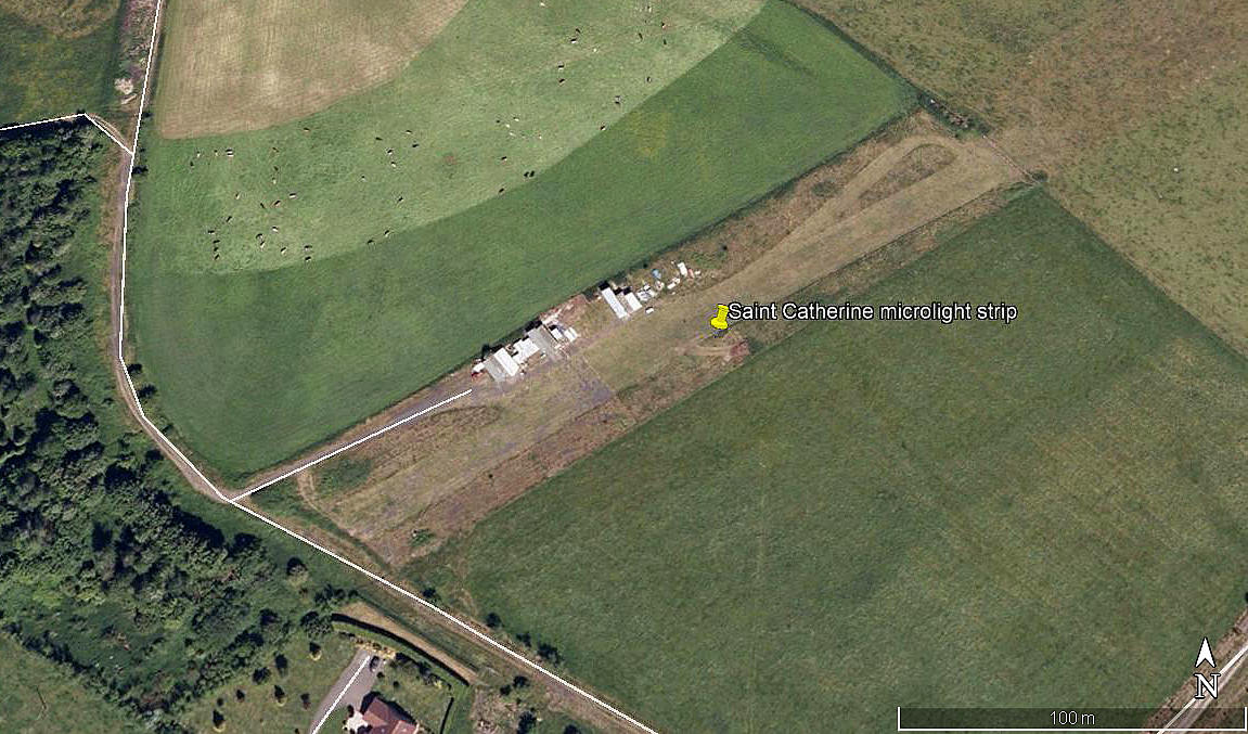
Aerial view 2009

Local area 2018
Note: All six of these pictures were obtained from Google Earth ©
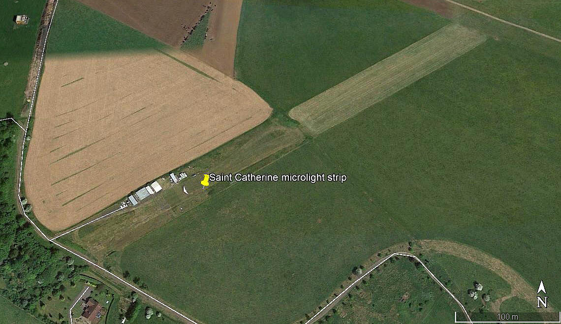
Aerial view 2018
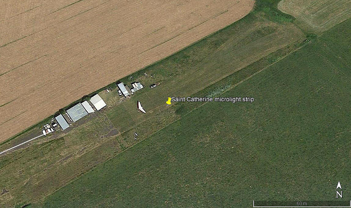
Aerial detail 2018
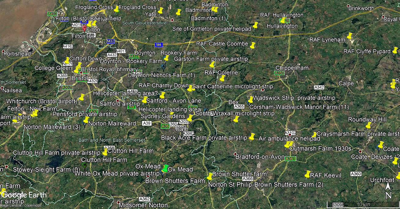
Area view
Location: On the SW side of CHARMY DOWN WW2 airfield, (at the SW end of runway 07/25), just W of the A46, 1.25nm W of St Catherine village and about 3.5nm N to NNE of Bath city centre
Period of operation: Early 2000s(?) to -
Runway: 2009 - 06/24 255 grass
2017 - 06/24 520 grass
NOTES: As always in this 'Guide', if anybody can kindly offer advice this will be most welcome.
We'd love to hear from you, so please scroll down to leave a comment!
Leave a comment ...
Copyright (c) UK Airfield Guide
