


Sandbanks flying sites
SANDBANKS: Military seaplane base
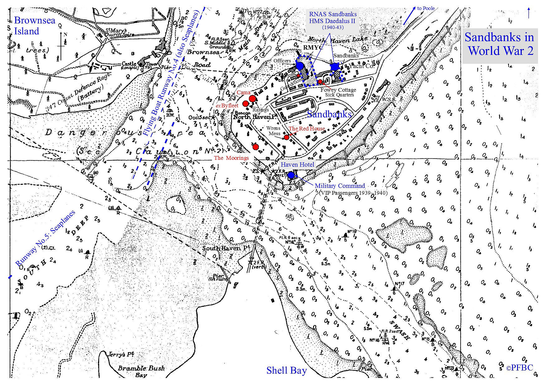
Note: This map was obtained from the Royal Navy Research Archive
Military user: RNAS Air Station (HMS DAEDULAS II)
700 'W' Flight of 700 Catapult Squadron
765 Basic Seaplane Training and Pool Squadron
Note: Aircraft seaplane types seen here were: Fairey Seafox, Fairey Swordfish (on floats),
Supermarine Walrus and the U.S. built Vought OS2U Kingfisher
Location: NW side of the peninsula
Period of operation: May1940 to October 1943
NOTES: Nicknamed “RNAS Tadpole” by locals it is reported, (but more likely those more senior people involved?), reflecting the junior status of pilots learning their ‘trade’ with seaplane operation?
SANDBANKS: Military airstrip(s)
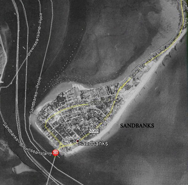
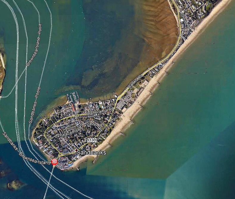
Note: Both of these pictures were obtained from Google Earth ©
Military user: US First Army 32nd Division 153rd Field Artillery Battalion
Location: On the peninsular jutting out southwards to form the north-eastern shore to the mouth of Poole Harbour. 3nm SE of Poole town centre, 4nm SW of Bournemouth town centre
Period of operation: 1944/5 only?
Runway(s): Beach or grass? Or both?
NOTES: Two Piper L-4 Grasshoppers were based here and knowing the area pretty well I can think of no particular area, (which is now densely developed with housing), as being obviously suitable for their use. But of course, this is the great thing about these incredibly robust and flexible aircraft, they needed only the most basic short strip of rough flattish and usually unprepared land or even hard sand beach to operate from.
This said, it is not outside the bounds of possibilty, as SANDBANKS was under military control, that the Banks Road could have been closed for short periods to allow aircraft to land or take-off.
And…in those days concerns for aircrew and aircraft safety was off the bottom of the ops page!
We'd love to hear from you, so please scroll down to leave a comment!
Leave a comment ...
Copyright (c) UK Airfield Guide
