


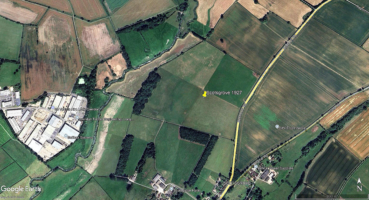
Scotsgrove
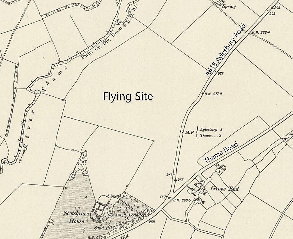
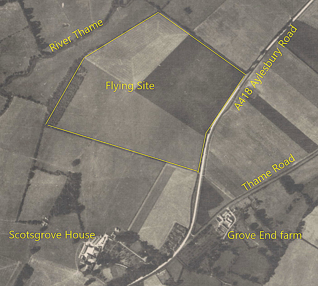
SCOTSGROVE: Temporary aerodrome
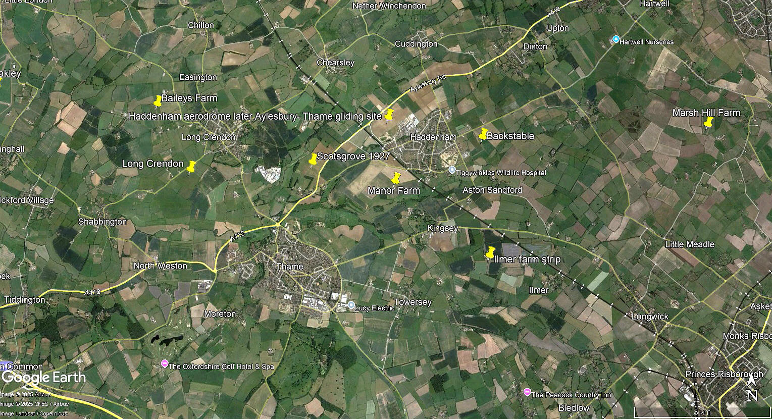
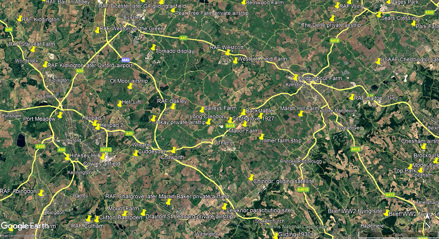
All three of these pictures are from my Google Earth © derived database
Operated by: Royal Air Force No.4 Squadron (Bristol F.2b)
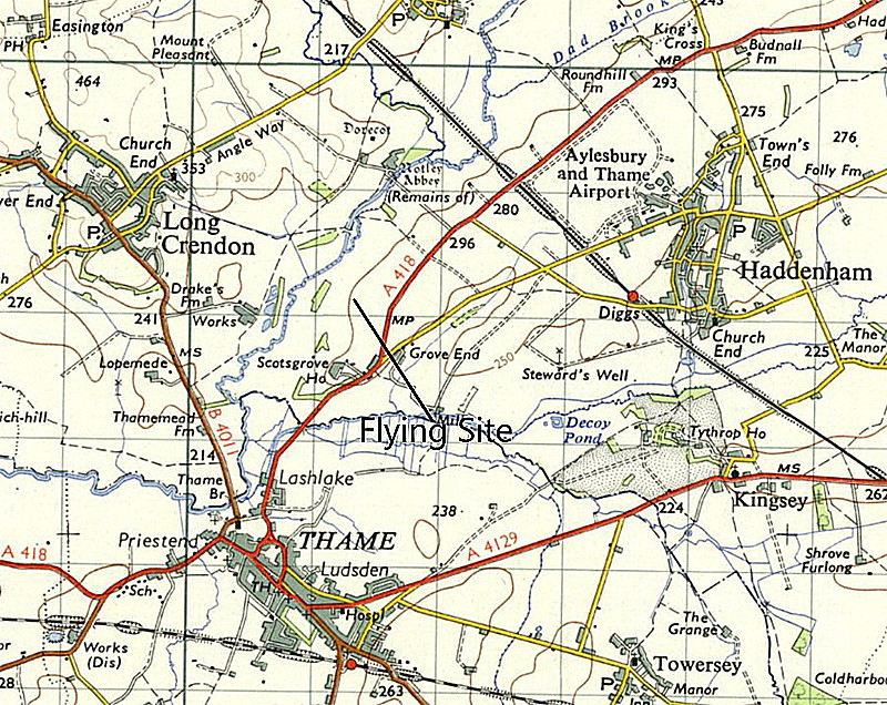
Location: Just W of the A418, roughly 1.25nm NNE of Thame town centre
Period of operation: From early September 1927 (Earliest known use 1920)
NOTES: We have Mr Graham Frost, a great friend of this 'Guide', to thank for identifying this little known location. No.4 Squadron was formed at FARNBOROUGH in 1912 and it appears likely that they were back there in September 1927? The reason for them being here was because they were involved in major Army manoeuvres being conducted in the area.
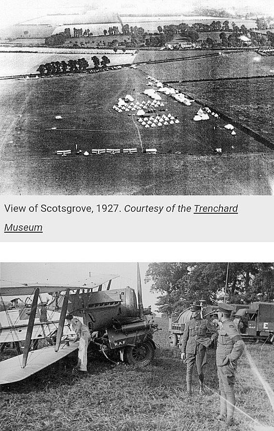
A NICE PIECE OF TEAMWORK
Noticing this listing appearing, Mike Holder, another great friend of this 'Guide, has prepared the following items.
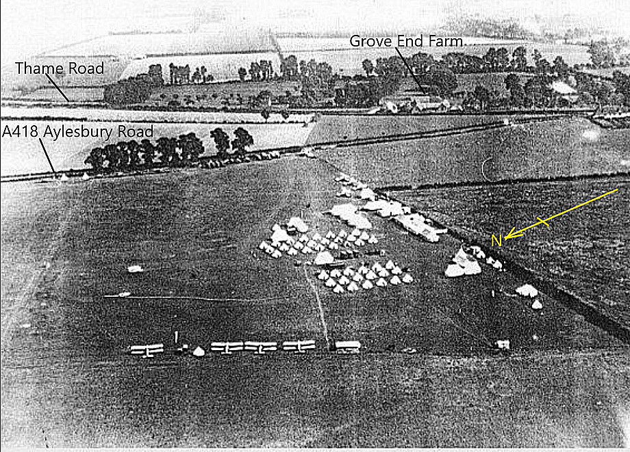
Mike has kindly captioned this version of the aerial photo, telling us it was taken looking south-east.
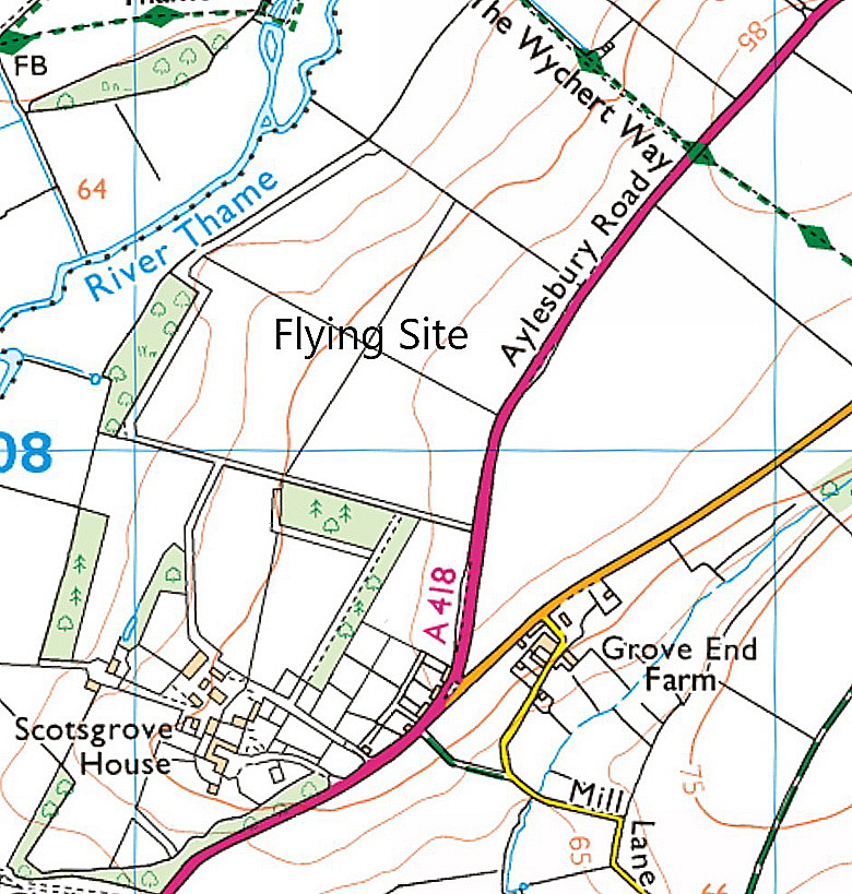
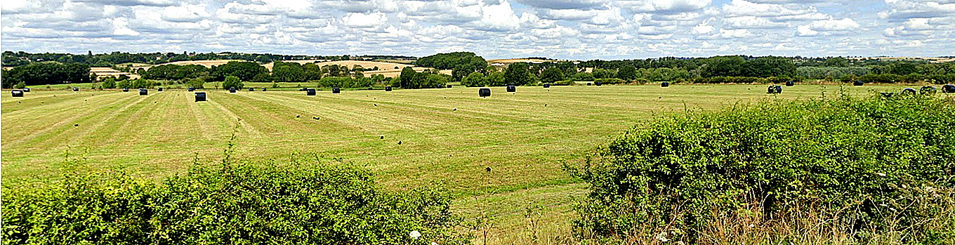
The Google Street View was taken looking roughly west from the A418.
PERSONAL MEMORIES
I am really quite familiar with this area, both from driving a truck to and fro, plus often flying from WYCOMBE AIR PARK many years ago, (mostly in the late 1980s and early 1990s). Once flew around this valley with my very good friend Austin (Aussie) J Brown, then Chief Photographer for Flyer magazine, and owning the Aviation Picture Library, when the area was flooded. Had absolutely no idea that this flying location existed. One of the joys resulting from producing this 'Guide'.
We'd love to hear from you, so please scroll down to leave a comment!
Leave a comment ...
Copyright (c) UK Airfield Guide
