














Soal Farm
SOAL FARM: Private airstrip (Aka STEEP)
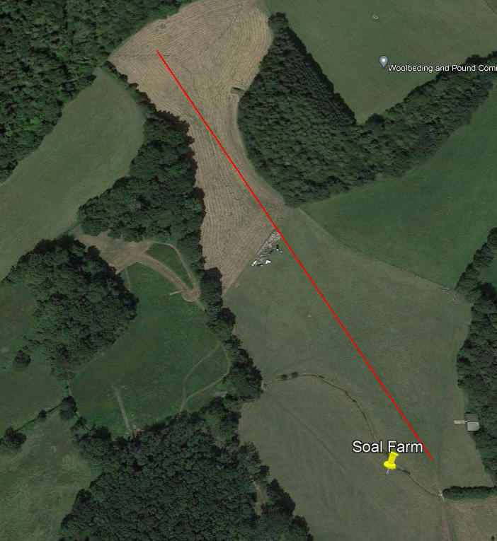
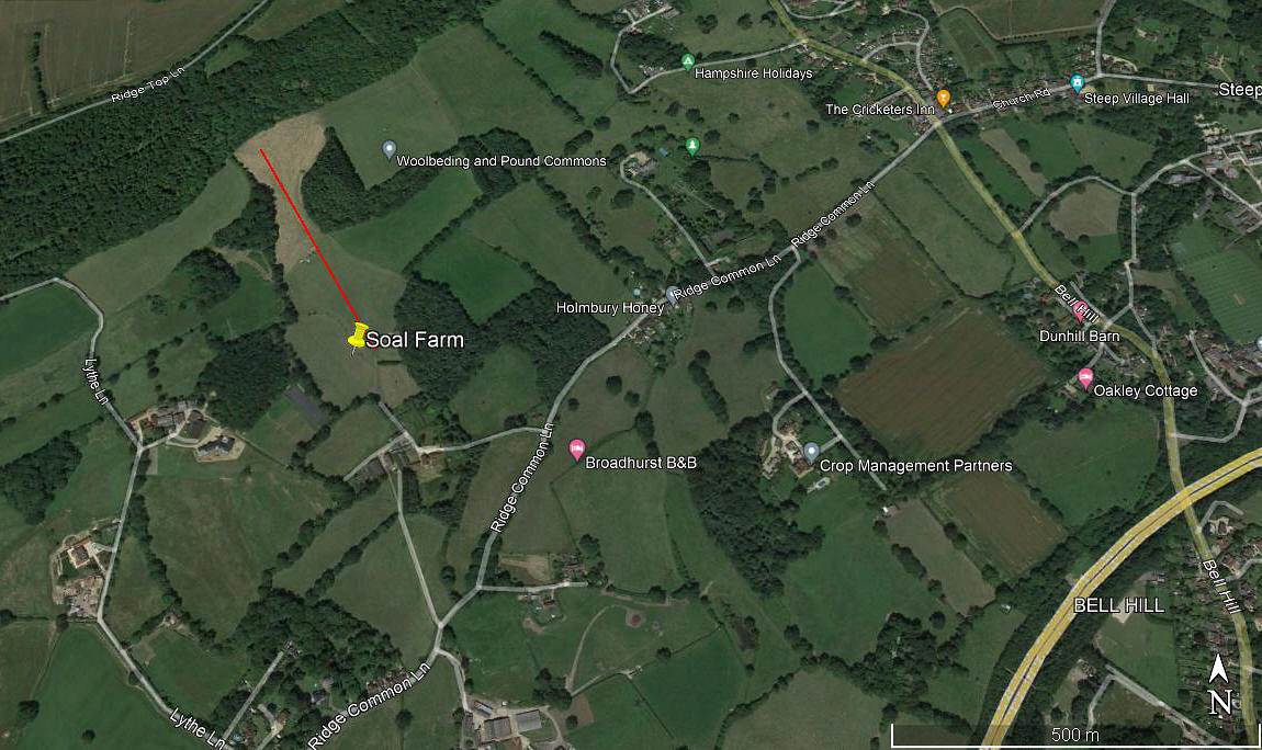
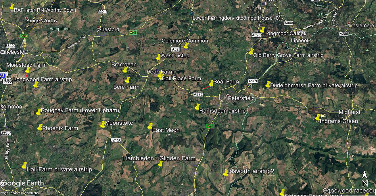
Note: The first two pictures were obtained from Google Earth ©. The area view is from my Google Earth © derived database.
Operated by: Mr Anthony E Marsh, and it would appear, Mr Ernest E Marsh. Quite possibly one and the same?
Location: About 1.5nm WNW to NW of Petersfield town centre
Period of operation: 1968 to 1972
Runway: 16/34 365 x 9 grass (34 used for landing, 16 used for take-off)
Note: According to a Pooley's guide.
NOTES: We have Mr Graham Frost to thank to pointing this airstrip out, which he has a record of from many years ago. The Cessna 182F Skylane G-ASJR (ex N3539U) was based here from 1968 to 1971. (Registered to this address from 22.08.68 to 02.04.71). He tells us a short steeply uphill runway, roughly 15/33 and about 350 metres long, and rising from 350 to 700ft amsl was used.
Later, in 2022, Graham also discovered that the Piper PA-23-160 Apache, G-APBD (ex EI-ALD), was registered to Mr Ernest E Marsh at this address from 22.06.71 until 07.06.72.
As always in this 'Guide', if anybody can kindly offer advice, this will be most welcome.
My first Google Earth © picture for this site could not have been more wrong! Now amended. In July 2022 I was kindly contacted by Mr Peter Barbour whose grandfather worked as head gardener for Mr Marsh. He told me the crucial bit of information that the hangar, "to the right of the strip", is still there. Also that, "the Cessna used to approach over the farm buildings." Armed with this, it would seem fairly clear where the strip was, and therefore my guesstimate of its length and orientation will now be reasonably accurate. (Info from Pooleys added in August 2022 c/o Graham Frost)
We'd love to hear from you, so please scroll down to leave a comment!
Leave a comment ...
Copyright (c) UK Airfield Guide
