


Sopley Farm
SOPLEY FARM: Private airstrip
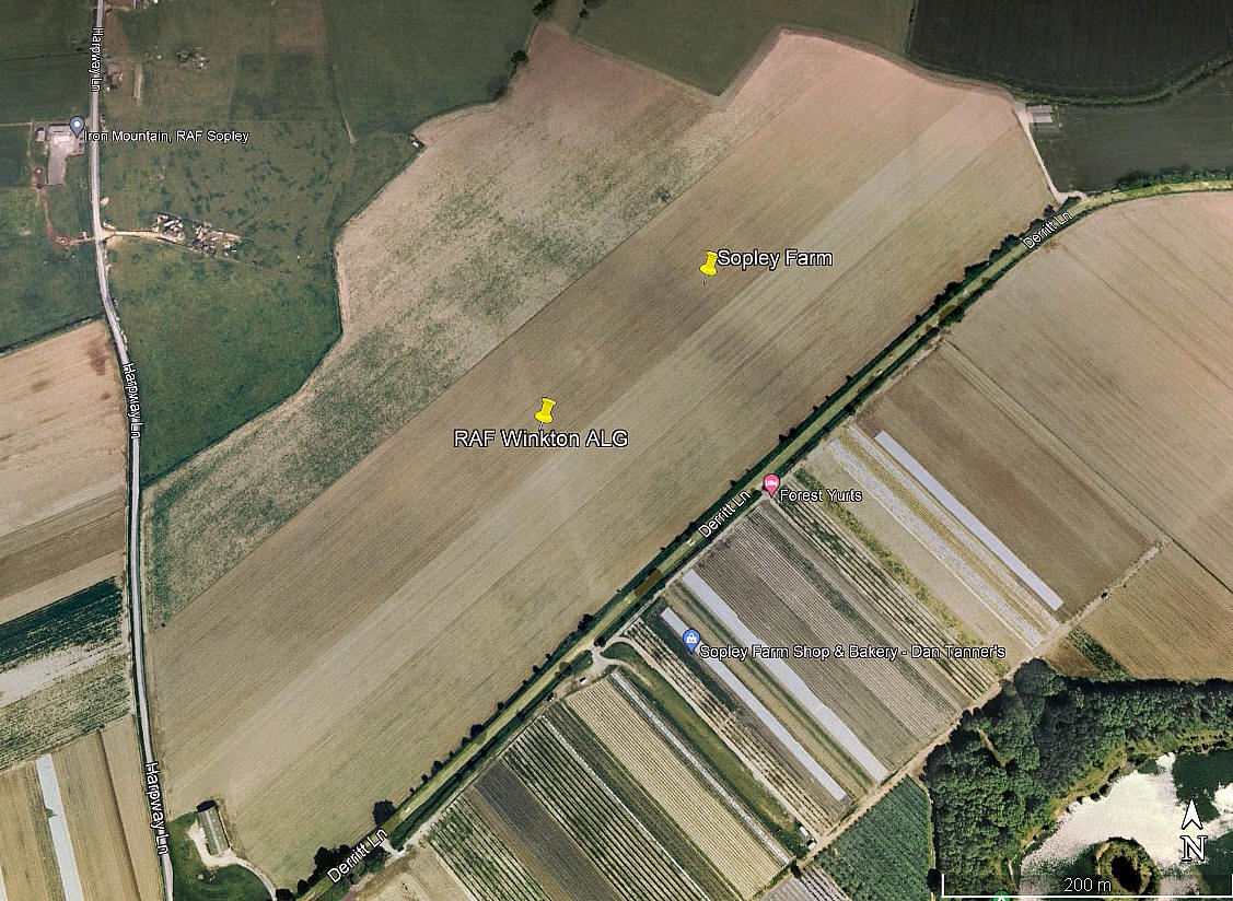
Aerial view 2002
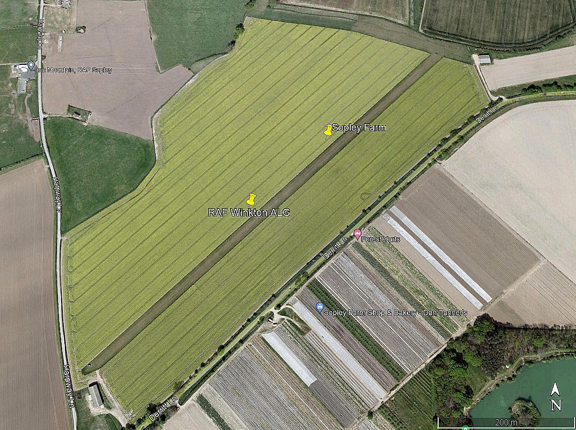
Aerial view 2007
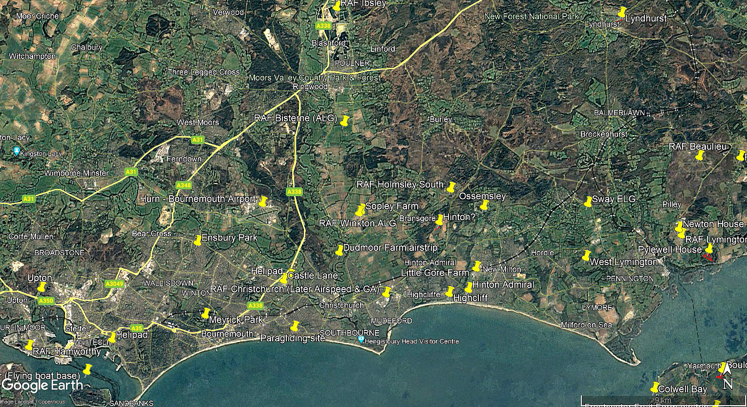
Area view
The first two pictures were obtained from Google Earth ©. The area view is from my Google Earth © derived database.
Location: E of the B3347, just NE of Sopley village, SSE of Ripley village and about 3nm N of Christchurch town centre
Period of operation: Unknown? Looking at Google Earth images it would appear that it ceased to be operated at some point between 2009 and 2014
Runway: 05/23 815 grass
NOTES: As can be seen, I have very little information about this airstrip. If anybody can kindly offer advice and information, this will be most welcome.
It appears to be laid out on the southern end of the WW2 RAF WINKTON ALG (Advanced Landing Ground).
We'd love to hear from you, so please scroll down to leave a comment!
Leave a comment ...
Copyright (c) UK Airfield Guide
