


South Ash
SOUTH ASH: Military Landing Ground
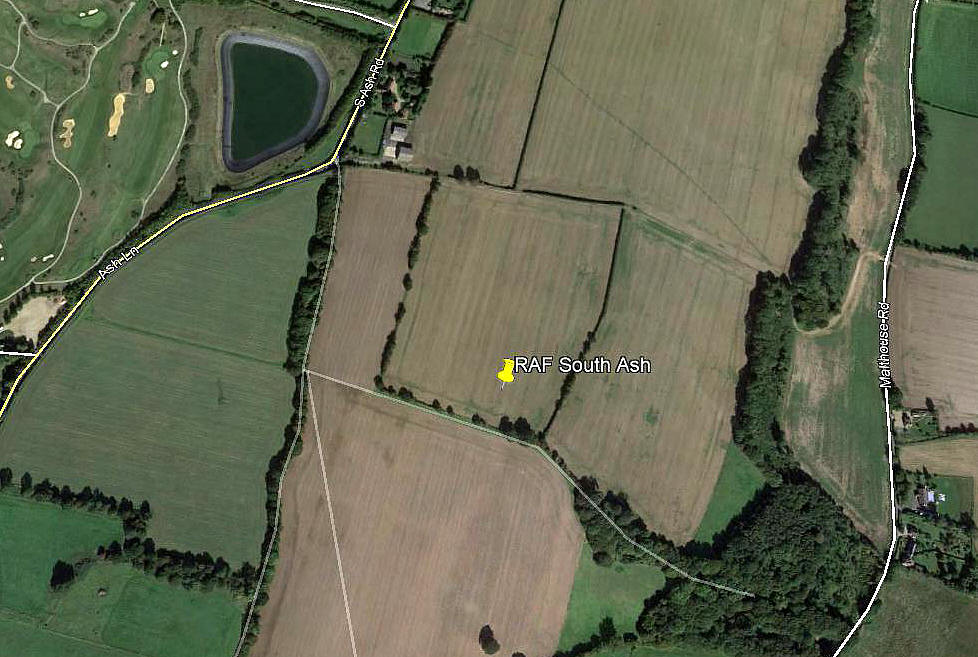
Aerial view 2018
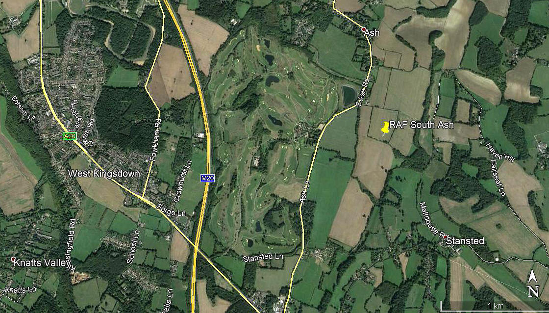
Area view 2018
Note: These two pictures were obtained from Google Earth ©
I have the Airfields of Britain Conservation Trust web-site for pin-pointing this location.
Military users: RFC/RAF (Royal Flying Corps / Royal Air Force)
50 [Home Defence] Sqdn (Royal Aircraft Factory B.E.2 & B.E.12, later Sopwith Camels)
141 [Home Defence] Sqdn (A variety of types initially, later Bristol F.2 Fighter)
Location: 0.5nm S of Ash, about 0.5 to 1nm NNW of Stansted, 1nm E of the M20 and roughly 2.5nm NNW of Wrotham
Period of operation: 1916 to 1919
Site area: 35 acres 457 x 302
We'd love to hear from you, so please scroll down to leave a comment!
Leave a comment ...
Copyright (c) UK Airfield Guide
