


South Belton
SOUTH BELTON: Military Landing Ground (Also known as DUNBAR)
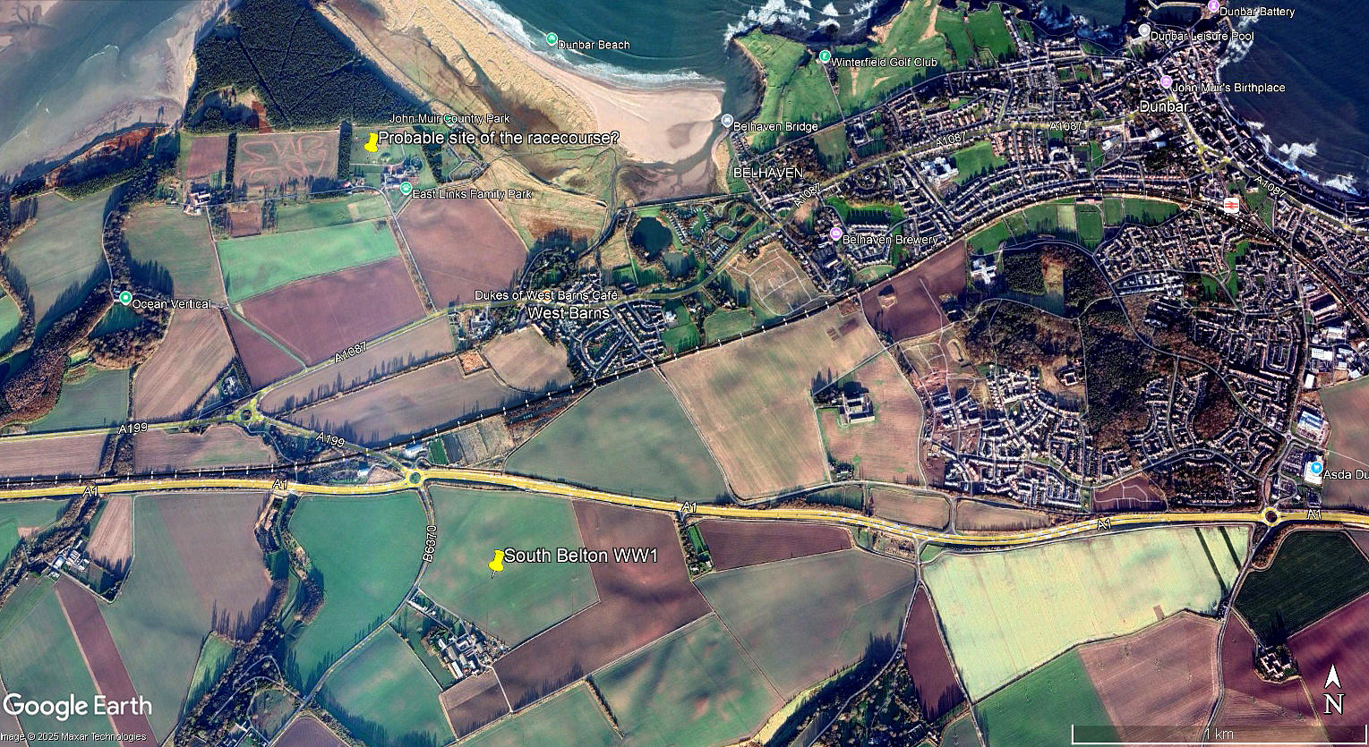
Local view
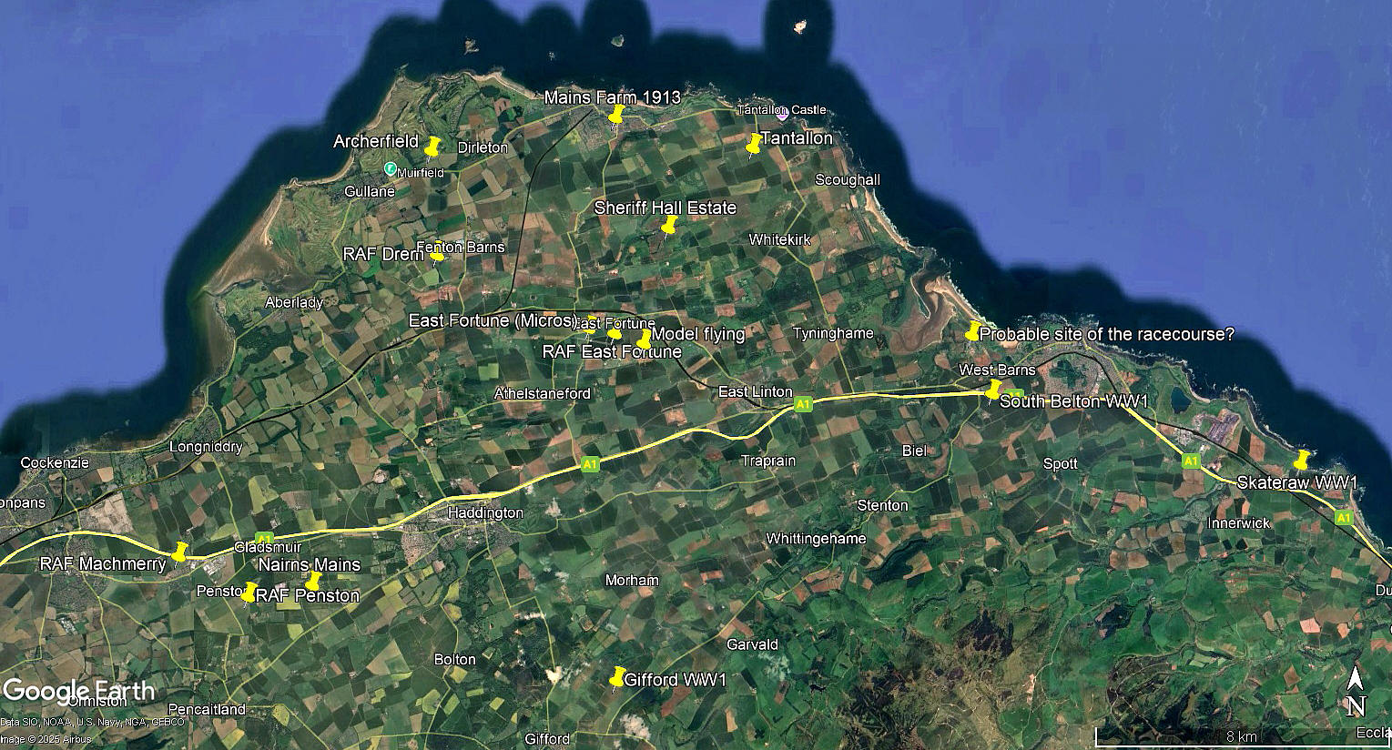
Local area view
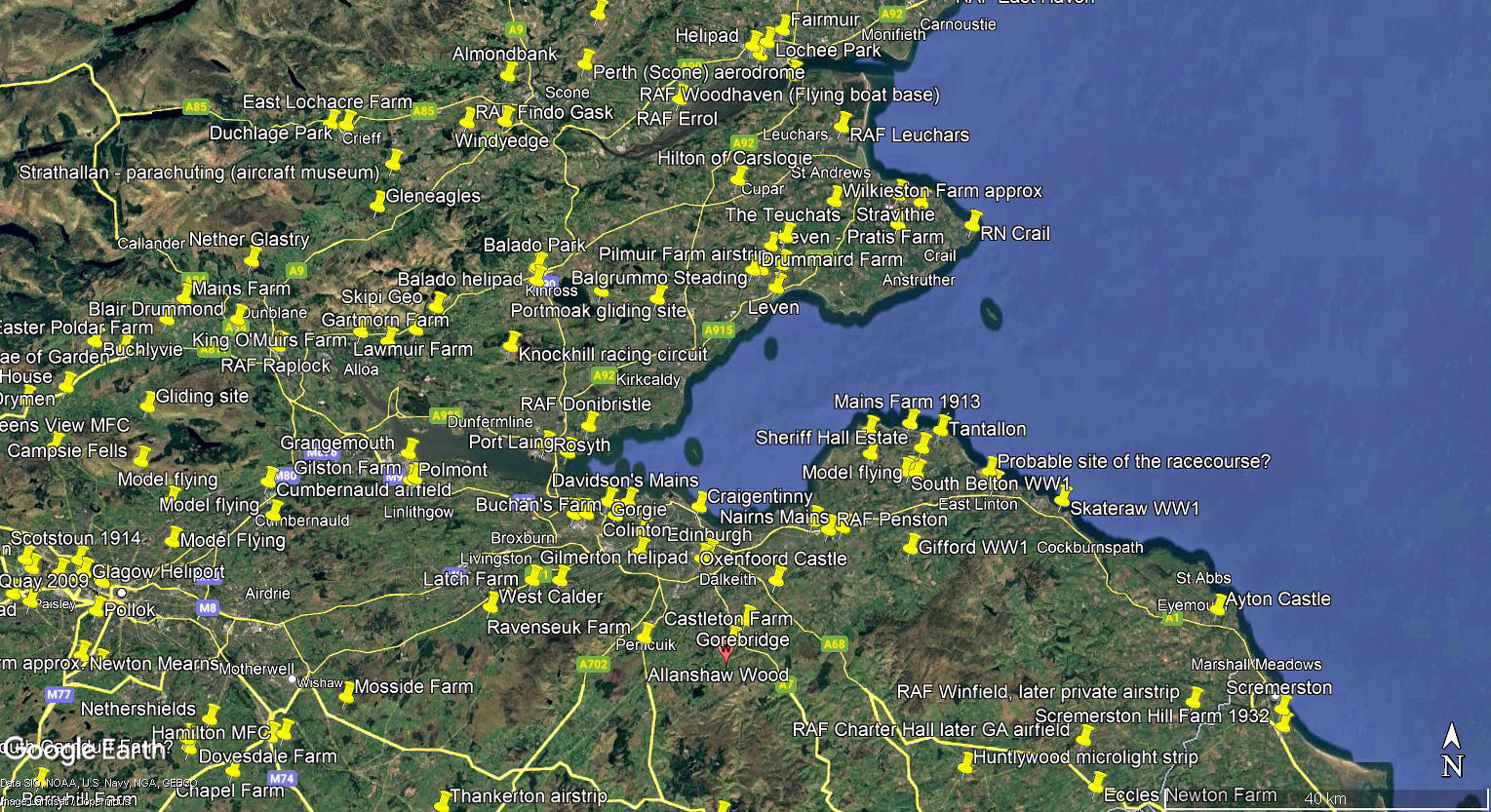
Area View
These three pictures are from my Google Earth © derived database.
Military users: RFC/RAF (Royal Flying Corps / Royal Air Force)
77 [Home Defence] Sqdn (Royal Aircraft Factory B.E.2 and B.E.12 types)
Location: N of South Belton, S of Thistly Cross, 0.5nm SSW of West Barns, roughly 2nm WSW of Dunbar town centre. Just SE of where the new A1 crosses the B6370
Period of operation: 1916 to 1919
Site area: 44 acres 439 x 411
We'd love to hear from you, so please scroll down to leave a comment!
Leave a comment ...
Copyright (c) UK Airfield Guide
