


South Cave
SOUTH CAVE see also MOUNT AIRY
SOUTH CAVE: Military aerodrome
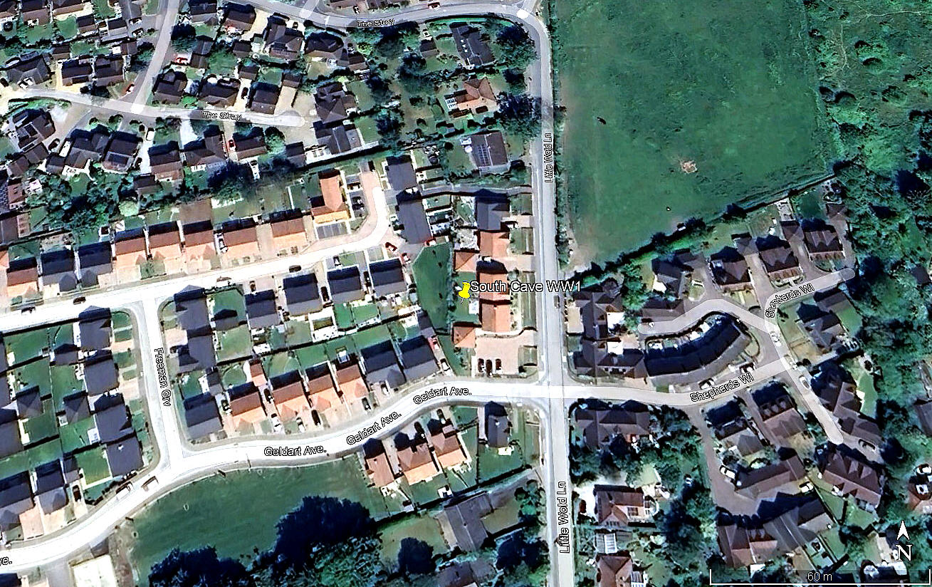
Local view
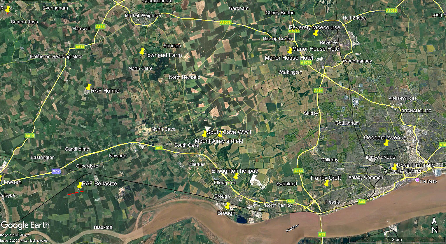
Local area view
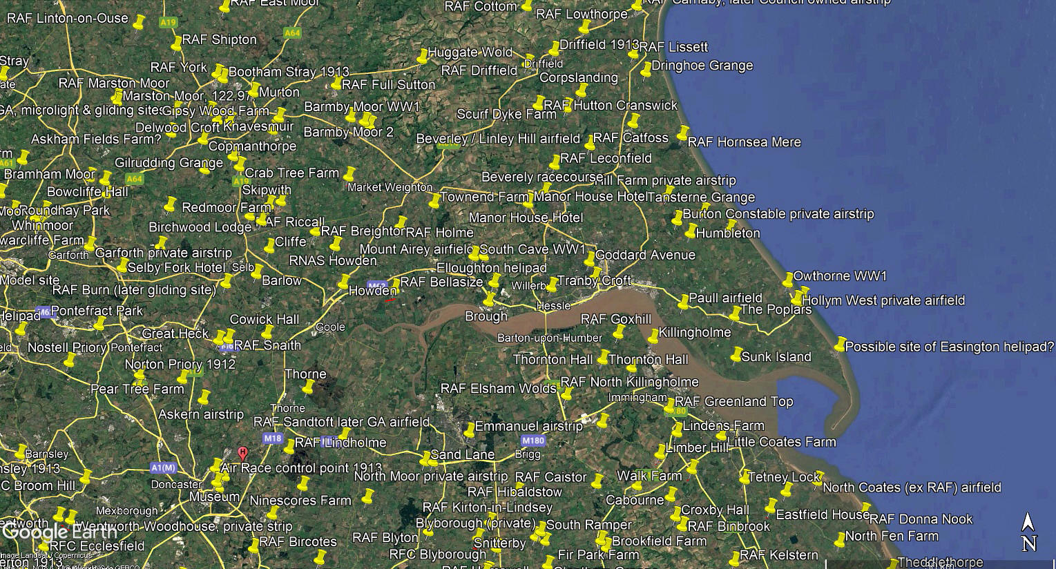
Area view
The first picture was obtained from Google Earth ©. The local area and area views are from my Google Earth © derived database.
Operated by: Royal Flying Corps, later RAF
No.33 Sqdn (Royal Aircraft Factory B.E.2, F.E.2. Later Bristol F.2 Fighter, later still Avro 504)
No.76 Sqdn (Royal Aircraft Factory B.E.2, B.E.12. Later Bristol F.2B Fighter)
Location: N of the A63, about 12.5nm WNW of Hull city centre
Period of operation: 1916 (?) to ?
NOTES: It seems pretty well established that a field situated near SOUTH CAVE was used in WW1. Apparently used for night-fighter anti-Zeppelin duties. There is an account of a Zeppelin appearing over SOUTH CAVE in 1916 - possibly searching for an opportunity to bomb BROUGH?
We'd love to hear from you, so please scroll down to leave a comment!
Leave a comment ...
Copyright (c) UK Airfield Guide
