


Spalding Road
SPALDING ROAD: Private airstrip
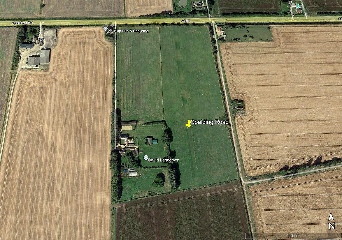
Local view 2016
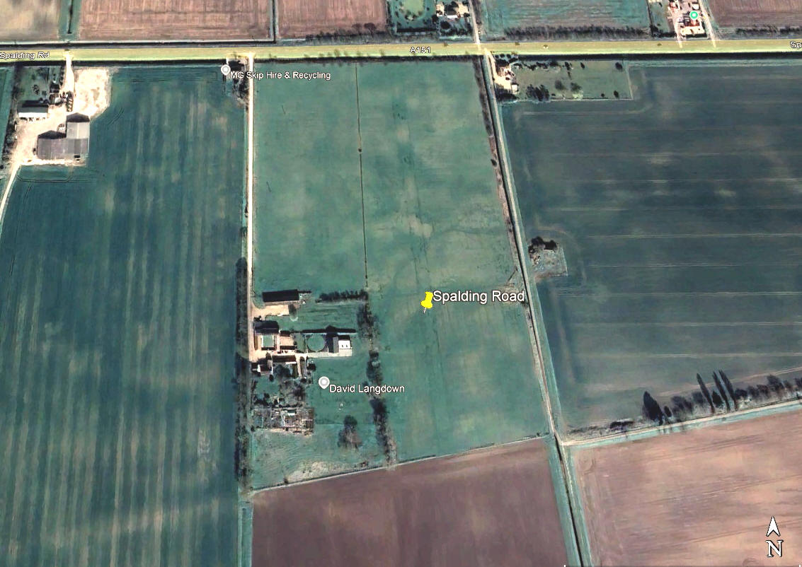
Local view 2022
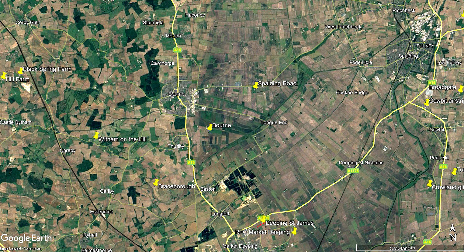
Local area view
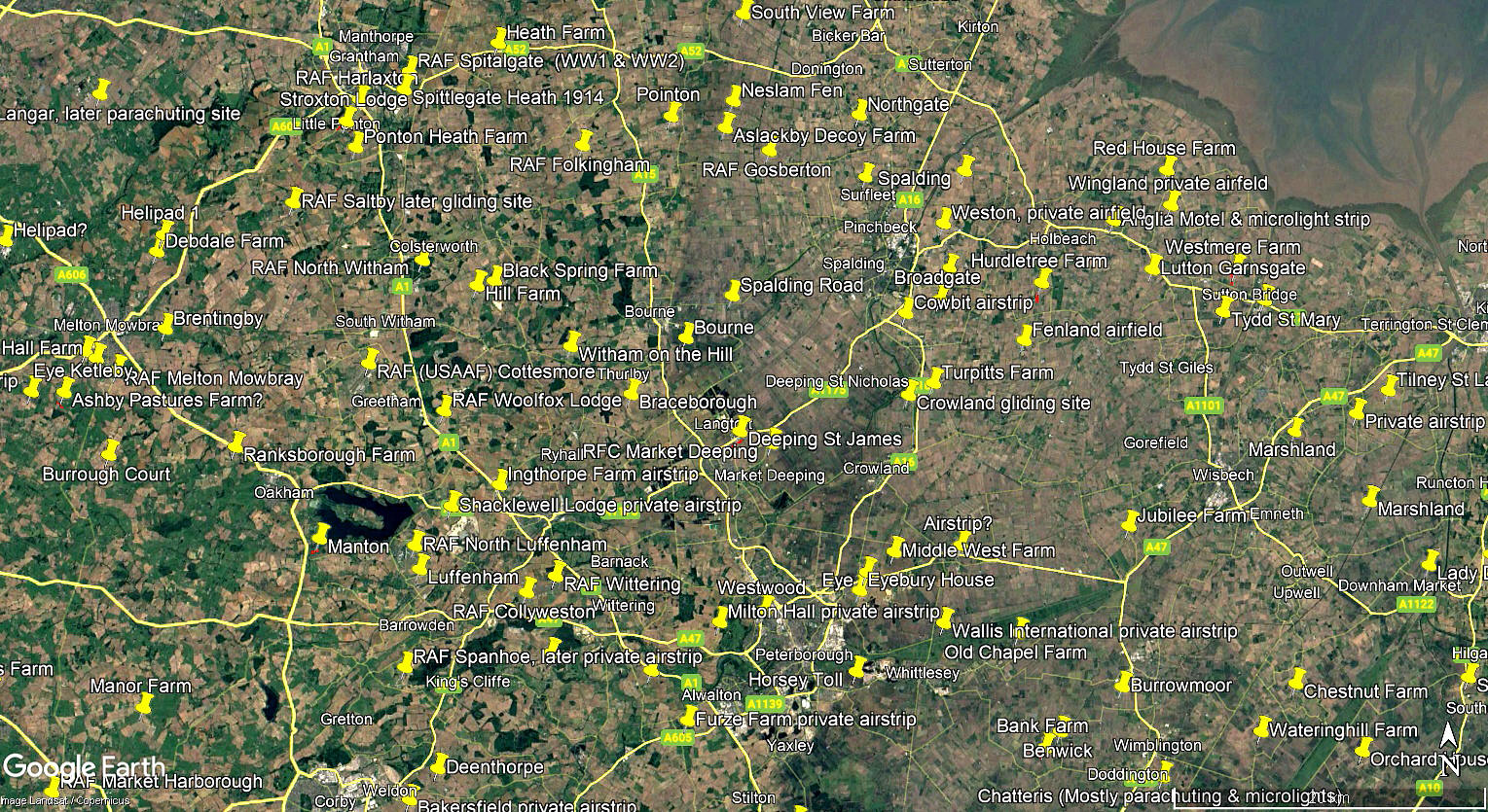
Area view
The two local views were obtained from Google Earth ©. The local area and area views are from my Google Earth © derived database.
Location: S of the A151, just W of Twenty village, about 3nm E of Bourne town centre
Period of operation: 2015 to -
Runway: 18/36 400 grass
NOTES: We have Mr Graham Frost, a long term friend of this 'Guide', to thank for pointing out this location. It appears to be the base for the very stylish, (but still quite rare in the UK?), Dynamic WT9 UK, G-DYNA. Information is always welcome and pictures much appreciated.
We'd love to hear from you, so please scroll down to leave a comment!
Leave a comment ...
Copyright (c) UK Airfield Guide
