


St Briavels
St BRIAVELS: Private airstrip
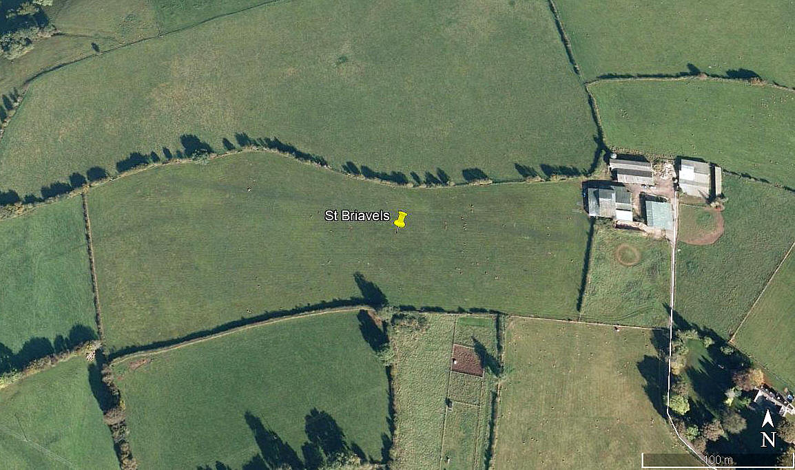
Aerial view 2009
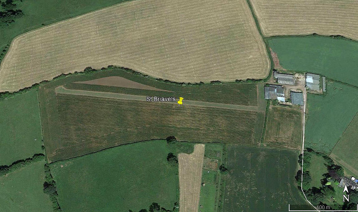
Aerial view 2013
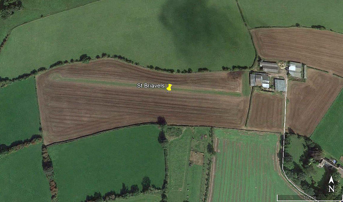
Aerial view 2014
Area view
Note: All four of these pictures were obtained from Google Earth ©
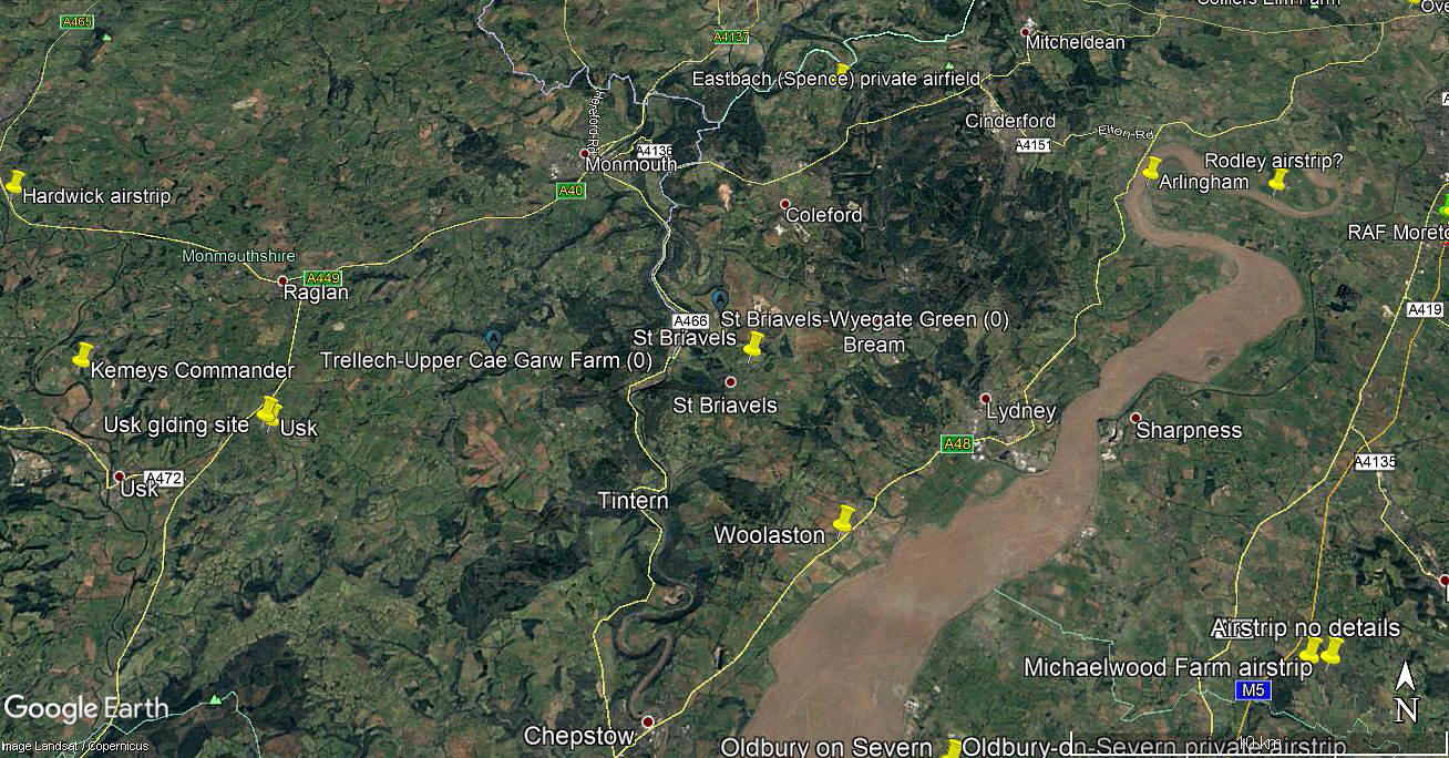
Location: Just N of St Briavels village on the B4228, 5.5nm SE of Monmouth town centre
Period of operation: Not known exactly. Perhaps c.2002 to c.2015?
Runway: 09/27 360 grass
NOTES: As airstrips go in the U.K., this example appears fairly short lived. Especially with a well defined mown runway. The 2009 picture certainly appears to exhibit typical traces of use. And this of course, if correct, could well have been the case for many years?
As always in this 'Guide', if anybody can kindly offer advice, this will be most welcome.
We'd love to hear from you, so please scroll down to leave a comment!
Leave a comment ...
Copyright (c) UK Airfield Guide
