


Stoney Lane
STONEY LANE: Private airstrip
(Also known as STONEY FARM? Initial info = AAIB report EW/G2004/06/08)
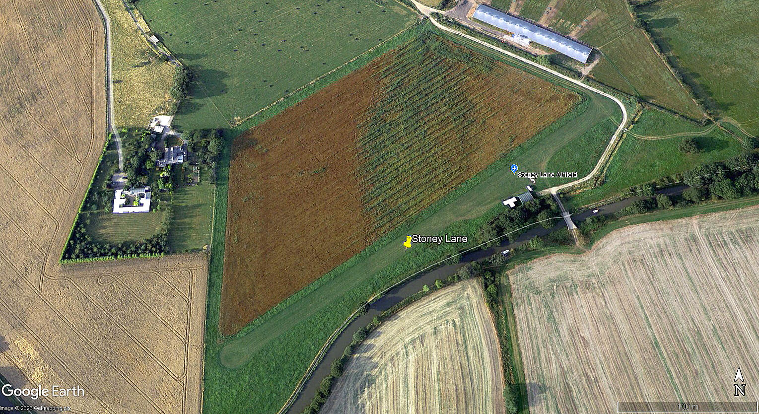
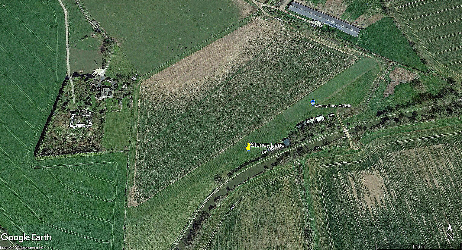
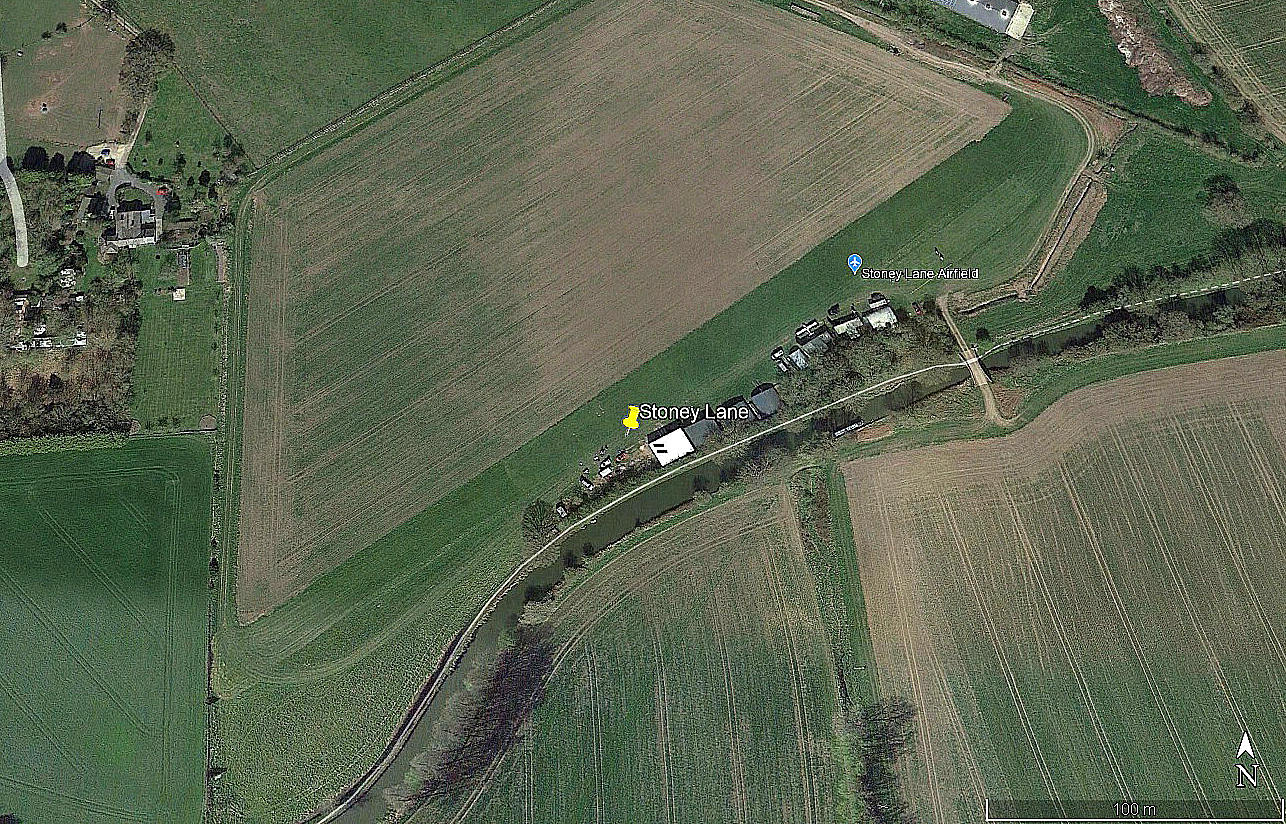
Note: The first three pictures were obtained from Google Earth ©. The area view is from my Google Earth © derived database.
Operated by: Mr P Whittaker
Location: 2nm E of Bromsgove, 2nm NW of Redditch
Period of operation: 2000s only?
Runway: 07/25 350x45 grass
Note: By 2005 at least a clear strip was marked out: 05/23 390 grass
NOTES: Several years ago I made these notes: "According to various flight guides this strip is reserved for STOL operations but other directions can be used within the field especially for landing . The strip may be moved within a three field area so I wonder if the advice regarding landing directions, (07/25), always applies?"
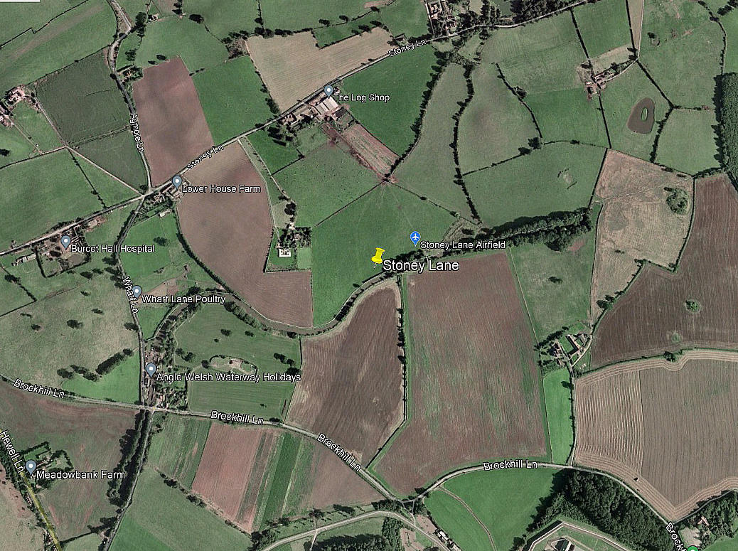
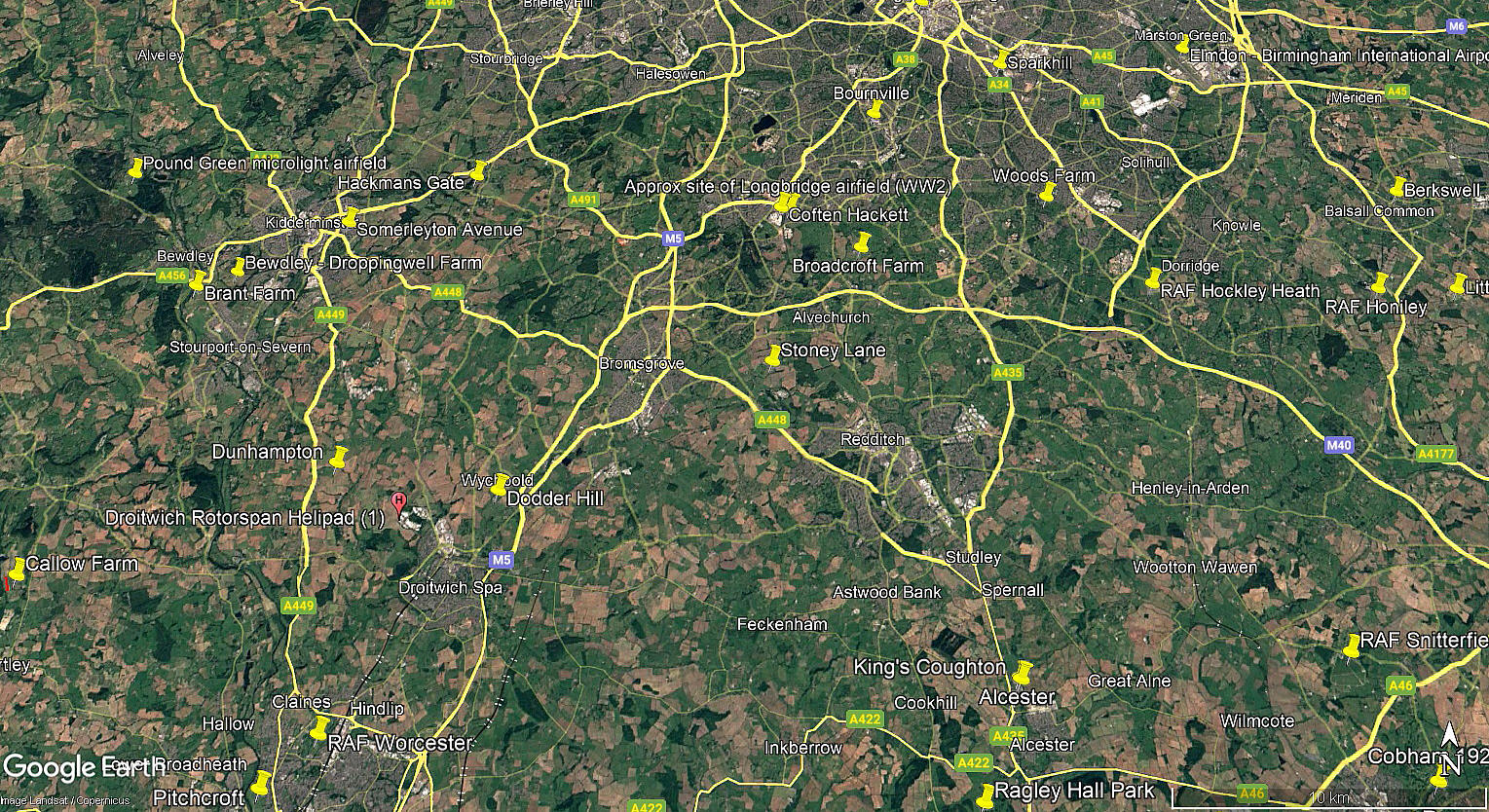
I have added this image from Google Earth © dated 1999, to show the layout of the various fields. If anybody can kindly offer advice and information, this will be most welcome. Pictures are always much appreciated.
We'd love to hear from you, so please scroll down to leave a comment!
Leave a comment ...
Copyright (c) UK Airfield Guide
