Synod Inn - UK Airfield Guide

Now having 7,000 + listed!

Probably becoming the most extensive British flying sites guide online...?

portfolio1 portfolio2 portfolio3 portfolio4

Heading 1

This is an example of the content for a specific image in the Nivo slider. Provide a short description of the image here....

Heading 2

This is an example of the content for a specific image in the Nivo slider. Provide a short description of the image here....

Heading 3

This is an example of the content for a specific image in the Nivo slider. Provide a short description of the image here....

Heading 4

This is an example of the content for a specific image in the Nivo slider. Provide a short description of the image here....

small portfolio1 small portfolio2 small portfolio3 small portfolio4
themed object
A Guide to the history of British flying sites within the United Kingdom
get in touch

Synod Inn


SYNOD INN:   Private airstrip       (Aka CRUGLAS - SYNOD INN and FFOSTRASOL)

Aerial view 2006
Aerial view 2006
Aerial view 2020
Aerial view 2020
Area view
Area view


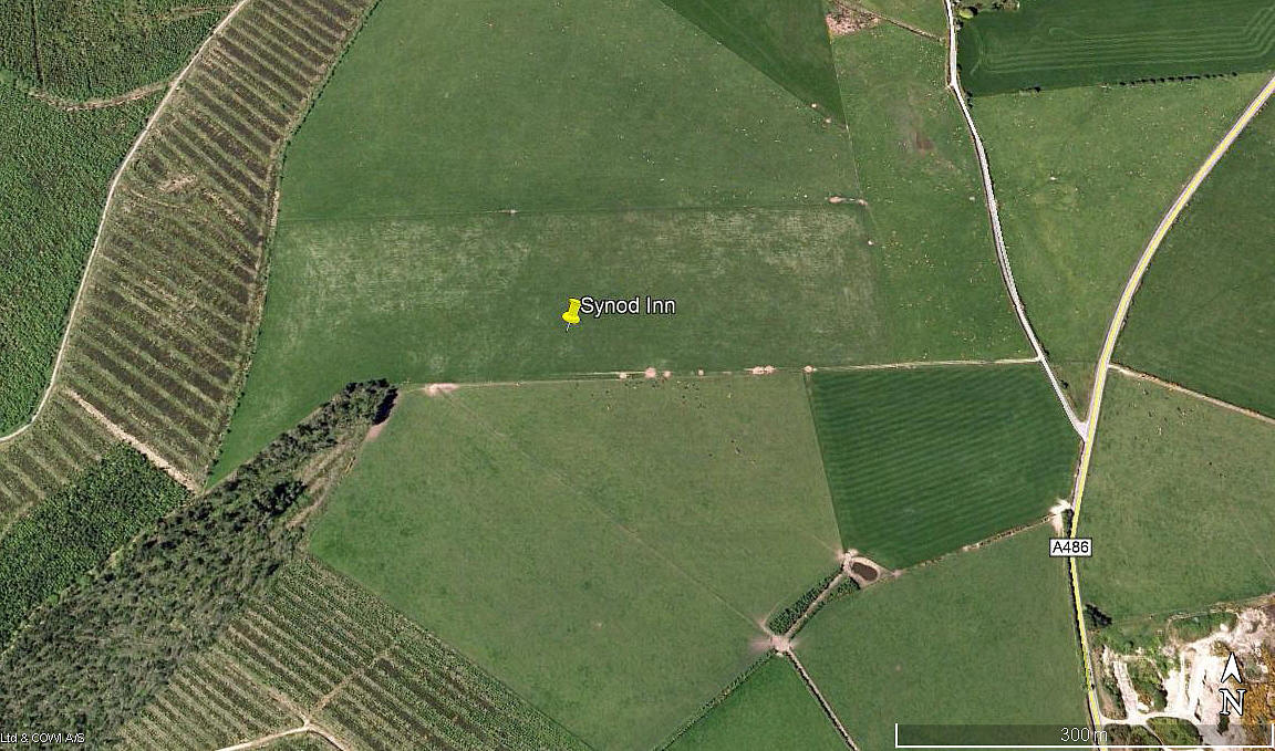
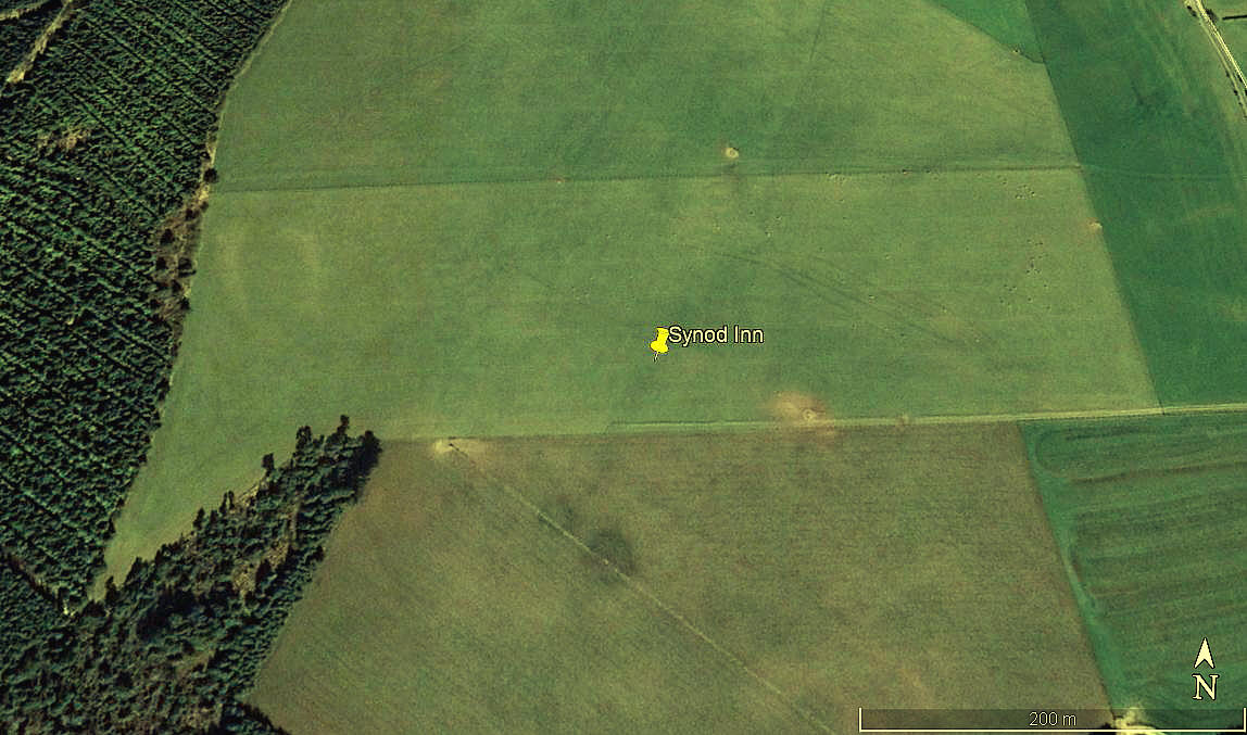
Note:  These three pictures were obtained from Google Earth ©


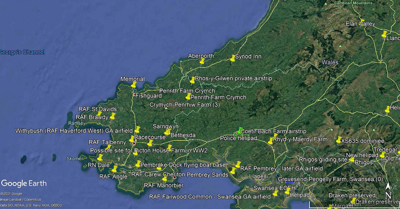
Location:  W of the A486, just NNW of Wstrws village, about 2.5nm SSW to SW of Synod Inn village on the junction of the A486/A487 and B4338. About 8.5nm E of Aberporth town centre

Period of operation:  Early 2000s (?) to -


Runway:   Not defined but:    E/W   570   grass


NOTES:  If you Google Synod Airfield you will find several listings, so it is clearly well known. What puzzles me is why people would want to land here? Looking at Google Earth is seems that there is nothing here. No cafe, no hangar, no fuel etc.

But of course it could well be convenient for anybody wishing to visit friends or relatives in this area.

As always in this 'Guide', if anybody can kindly offer advice, this will be most welcome. Pictures of course are always much appreciated.


We'd love to hear from you, so please scroll down to leave a comment!


Leave a comment ...


Name
 
Email:
 
Message:


Copyright (c) UK Airfield Guide


slide up button