














Udny flying sites
UDNY FLYING SITES:
NOTE: This listing may be of three, or possibly just two locations in the Udny area. The main work and indeed the discovery of these locations can be credited to Mike Holder, a great long-term friend of this 'Guide'. Mike and I have collaborated in producing this listing, (which gave me the opportunity to make any errors), and we will very much appreciate any advice and information.
Location: Just E of the B999, roughly 11nm NNW to N of Aberdeen city centre
THE FIRST EVIDENCE
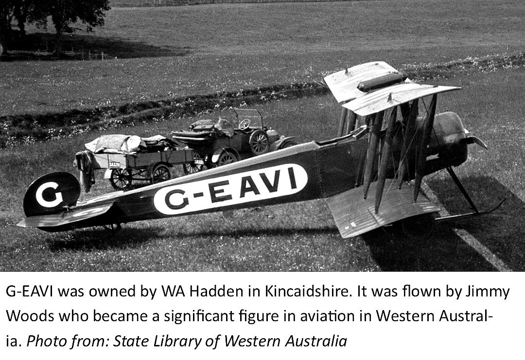
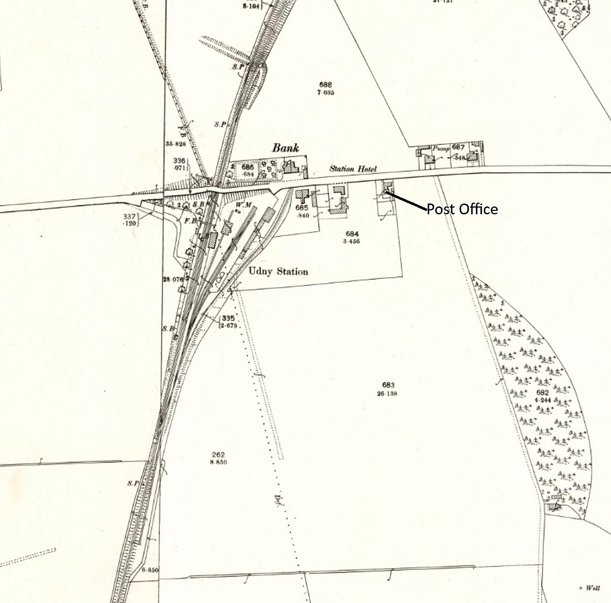
In around September 1921, Mr W A Hadden of KINCARDINSHIRE, decided to go into the aviation business and acquired the Avro 504K, G-EAVI (ex E1644), and employed, (or perhaps went into partnership with?), Lt. James "JImmy" Woods as the pilot. He was born in Udny and his family moved to the village of Udny Station, apparently running the post office. So, a logical place to start touring around from?
BUT WHERE DID HE OPERATE FROM?
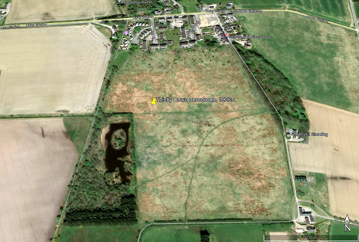
To date we simply do not know, but it seems reasonable to suppose that the large field to the south and east of Udny Station would have been highly suitable? This field offered landing runs of, very roughly, N/S 440, E/W 380, NW/SE 530 and SW/NE 480. So, very much nigh on ideal for operating an Avro 504K from and just south of the post office.
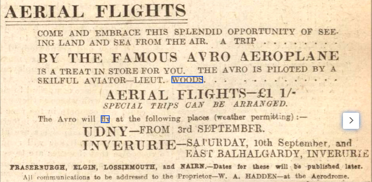
The advert was placed in the Aberdeen Press and Journal on the 7th September 1921. Note that it states that flying commenced on the 3rd September.
COMMENT: The advert gives no information about the location of the venue and, given the sparse population in those days, why were operations planned to last from the 3rd to the 9th September, before they moved on the 10th to Inverurie. Perhaps the answer was that, with both of them presumably having no idea about how to run such a business, this was a "suck it and see" exercise to try and guage likely local response?
JAMES WOODS
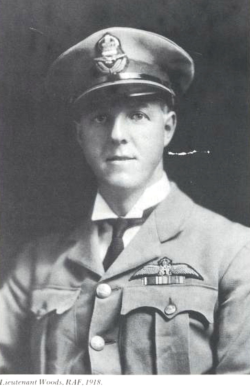
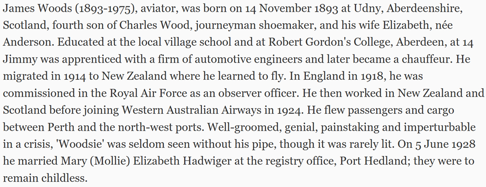
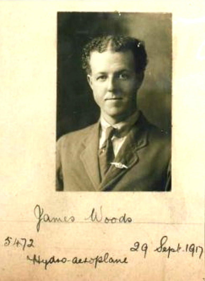
The first photo and excerpt are from the biography of James Woods by Julie Lewis. Photo Two of his pilots licence is from Fleeting Peace.
A LICENCED AERODROME
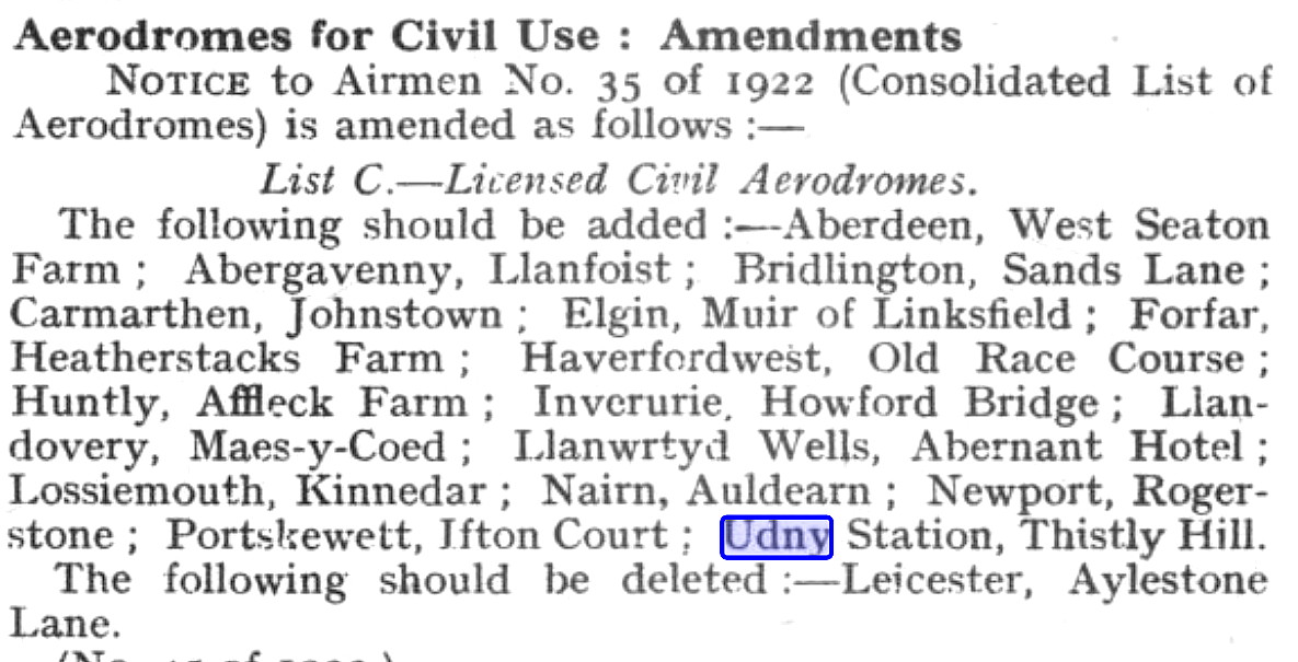
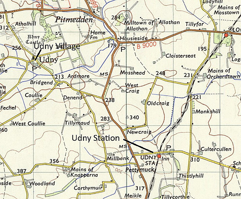
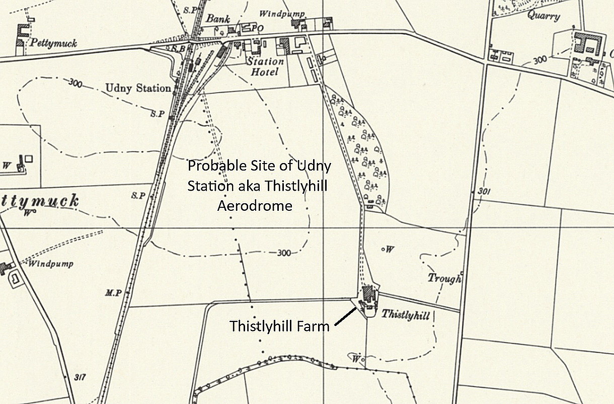
The proof of UDNEY STATION having a licensed aerodrome came from a Notice published in Flight magazine on the 11th May 1922. It was listed as UDNY STATION, THISTLY HILL, and Mike Holder noticed that there was, (is?), a Thistlyhill farm close by. Flight did not give any location information but Mike Holder and I agree about the most likely location, which of course is exactly where we think the 1921 venue listed above was located?
UDNY CASTLE GROUNDS
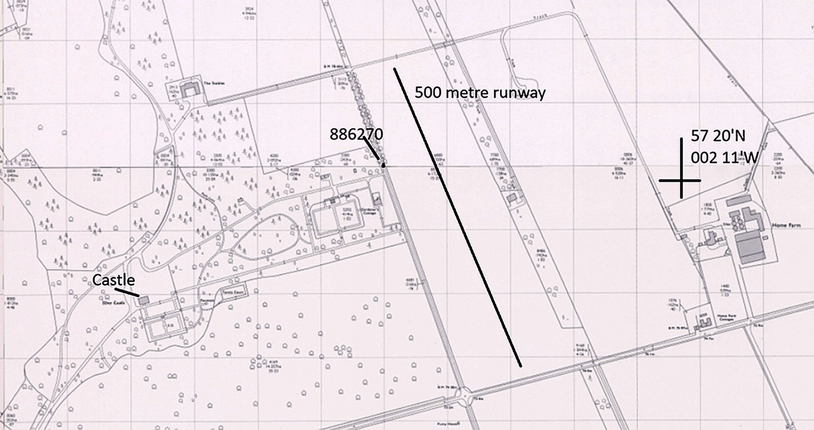
For this location we need to skip forward to the 1970s when the SOCATA MS894A Rally Minerva 220, G-AYYD, was registered to Udny and Dudwick Estates from 22.12.71 until 19.01.78. The airstrip being laid out in 1973.
Operated by: C K W Schellenberg, Udny and Dudwick Estates
Location: SW of Pitmedden village on the B999, roughly 13nm NNW of Aberdeen city centre
Period of operation: 1973 to 1978
Runway: 16/34 500 grass
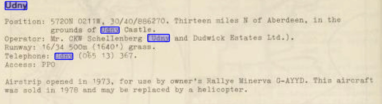
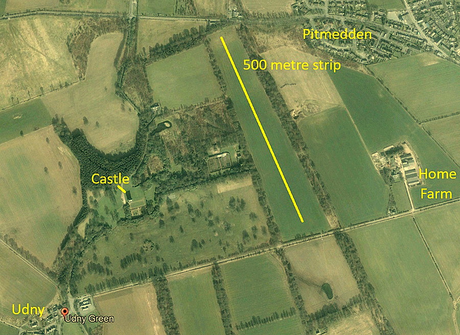
The information item is from Scotland Scanned.
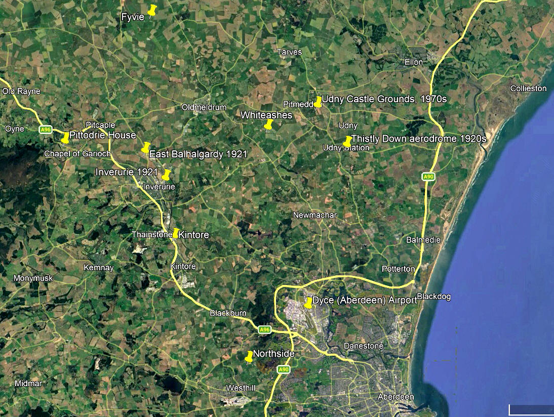
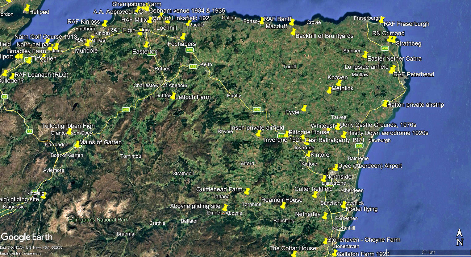
The local area and area views are from my Google Earth© derived database.
We'd love to hear from you, so please scroll down to leave a comment!
Leave a comment ...
Copyright (c) UK Airfield Guide
