Now having 6,000 + listed!

Probably becoming the most extensive British flying sites guide online...?

portfolio1 portfolio2 portfolio3 portfolio4

Heading 1

This is an example of the content for a specific image in the Nivo slider. Provide a short description of the image here....

Heading 2

This is an example of the content for a specific image in the Nivo slider. Provide a short description of the image here....

Heading 3

This is an example of the content for a specific image in the Nivo slider. Provide a short description of the image here....

Heading 4

This is an example of the content for a specific image in the Nivo slider. Provide a short description of the image here....

small portfolio1 small portfolio2 small portfolio3 small portfolio4
themed object
A Guide to the history of British flying sites within the United Kingdom
get in touch

Wacton


WACTON:    Private airstrip
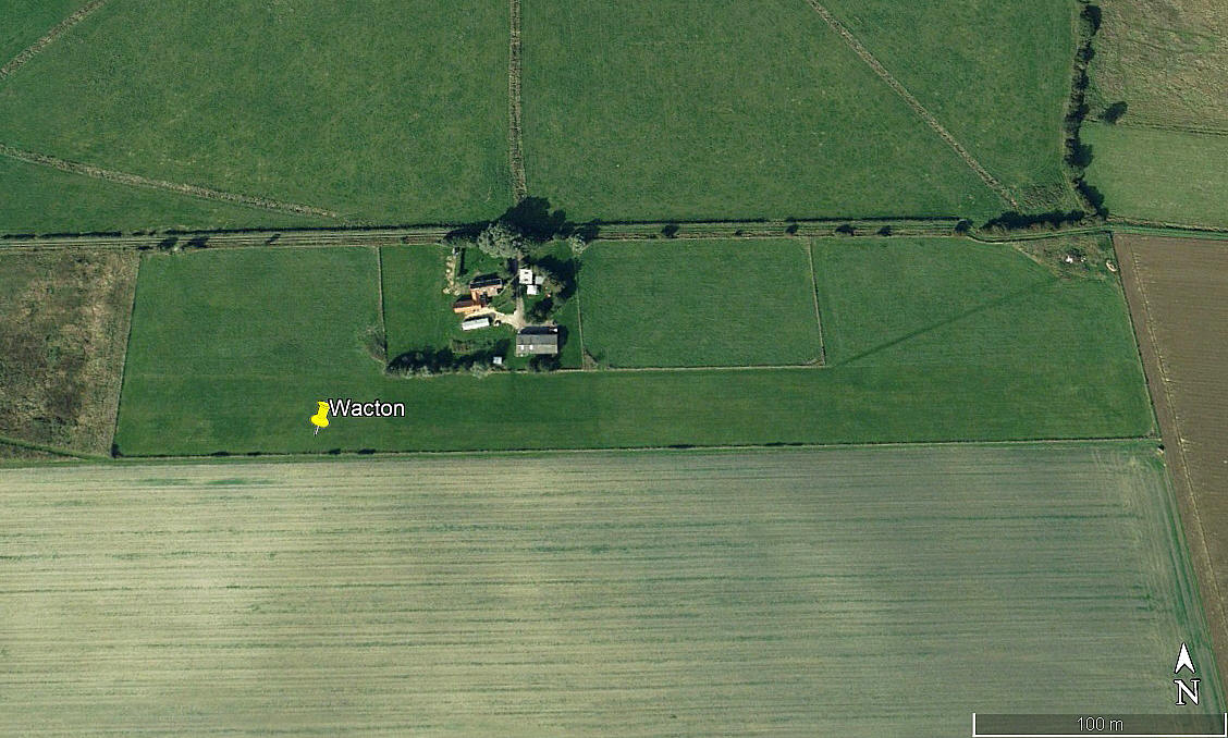

Aerial view 2006
Aerial view 2006
Aerial view 2021
Aerial view 2021
Area view
Area view


Note:  The first two pictures were obtained from Google Earth ©. The area view is from my Google Earth © derived database:


Location:  W of the A140, just S of Wacton village and roughly 8nm NNE of Diss town centre

Period of operation:  Unknown?  There is an element of guesswork here. The 2006 picture above does look as if an airstrip had been laid out?


Runway:  If applicable in 2006 -   09/27   450   grass              Later:    09/27   640   grass


NOTES:  We have Mr Graham Frost, a great friend of this 'Guide', to thank for pointing out this location. If anybody can kindly offer advice and information, this will be most welcome. Pictures are always much appreciated.


We'd love to hear from you, so please scroll down to leave a comment!


Leave a comment ...


Name
 
Email:
 
Message:


Copyright (c) UK Airfield Guide


slide up button