


Whitehill Farm
WHITEHILL FARM: Private airstrip
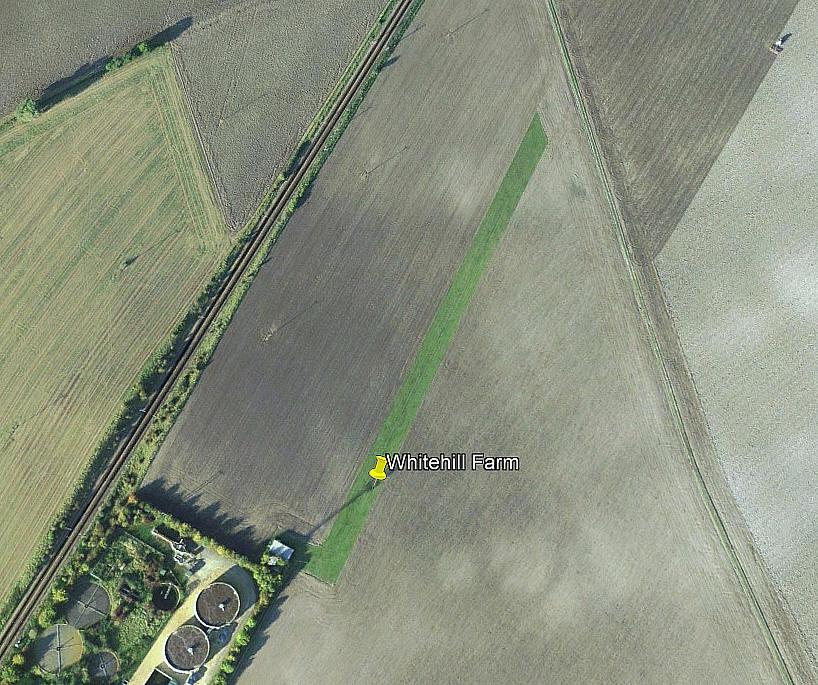
Aerial view 2003
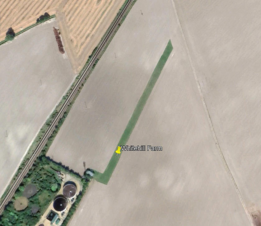
Aerial view 2008
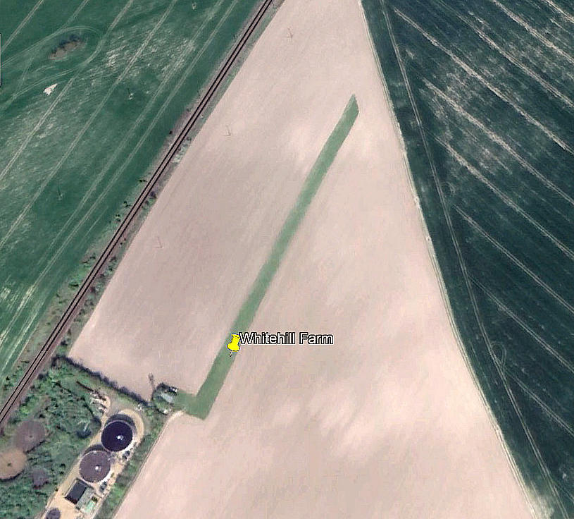
Aerial view 2012
Note: The 2003 picture appears to show the strip being laid out.
Aerial view 2017
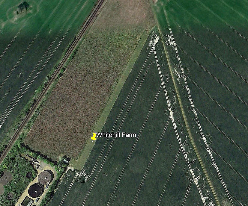
Aerial view 2022
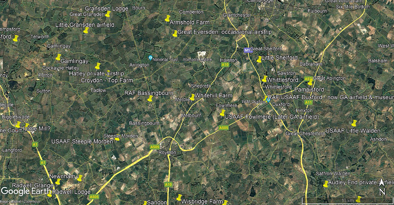
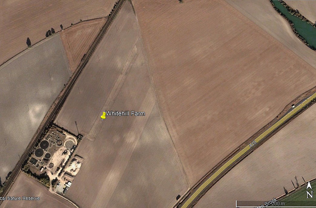
Local area view
Note: The first five pictures were obtained from Google Earth ©. The local area view is from my Google Earth © derived database.
Location: In or near the village of Meldreth, just N of the A10, about 2nm E of the A1198 and the disused BASSINGBOURN airfield
Period of operation: c.2004 to -
Runway: 02/20 290 grass (270m useable?)
NOTES: The first proof of this location was the AAIB report EW/G2015/05/15. This location has also been described as being called MELDRETH VALLEY FARM.
We'd love to hear from you, so please scroll down to leave a comment!
Leave a comment ...
Copyright (c) UK Airfield Guide
