














Writtle
WRITTLE: Military Landing Ground
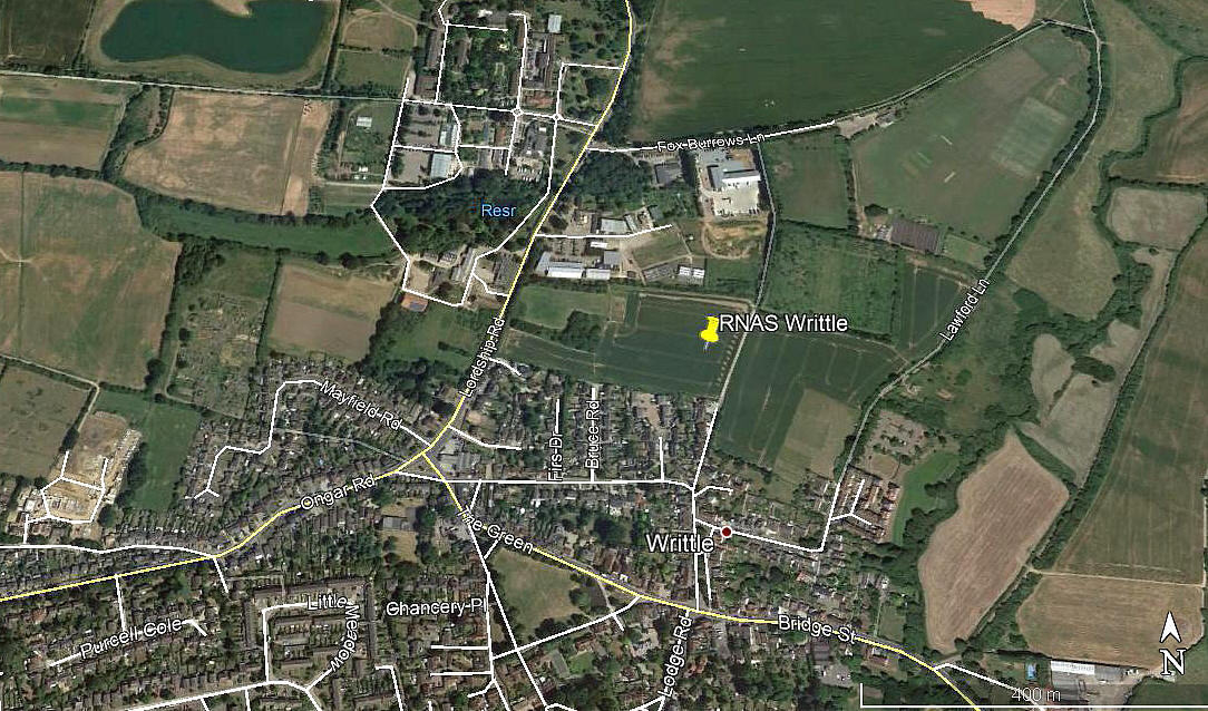
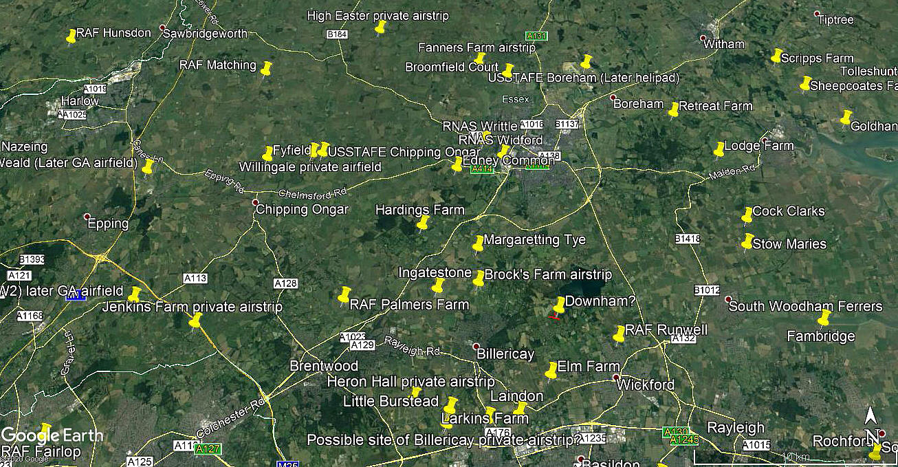
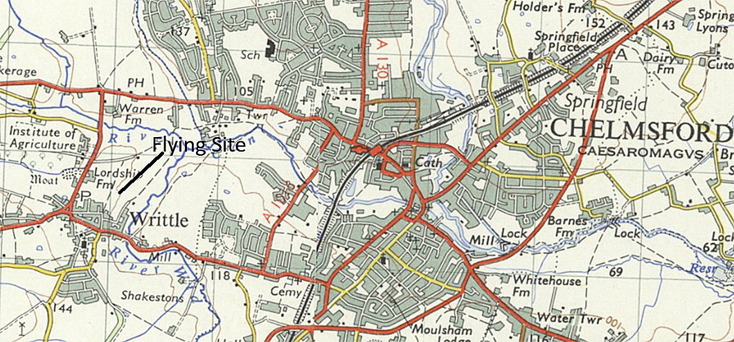
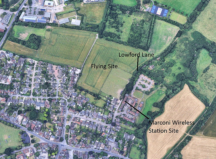
Note: Both of these pictures were obtained from Google Earth ©
Military user: RNAS (Royal Naval Air Service)
Location: Just N of Writtle village, just E of Lordship Road and about 1.5nm W to WSW of Chelmsford town centre
Period of operation: 1914 to 1916
NOTES: I have the excellent book - ESSEX: A Hidden Aviation History by Paul Bingley and Richard E. Flagg to thank for the initial information regarding this flying site.
A MICHAEL T HOLDER GALLERY
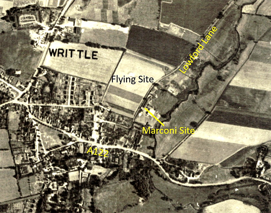
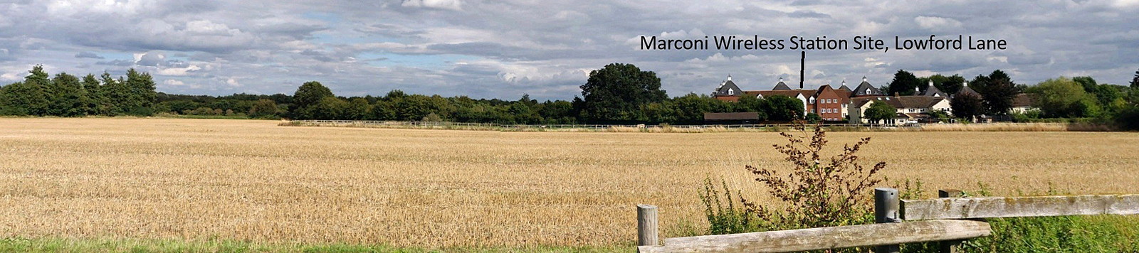
In April 2026, Mike Holder who is a great friend of this 'Guide', found an advert about Frank Neale operating from this location in 1921. He then kindly took it upon himself to see what else might be available to illustrate this lsting - with the following results - which, with the adjacent Marconi Wireless Station especially, certainly surprised me.
But first: Operated by Frank Neal from the 19th to the 28th of February 1921
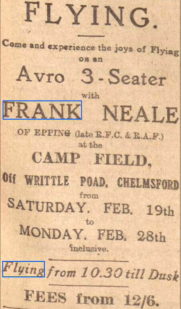
The advert was placed in the Chelmsford Chronicle on the 18th February 1921:
Mike also found these biographical items about Frank Neale.
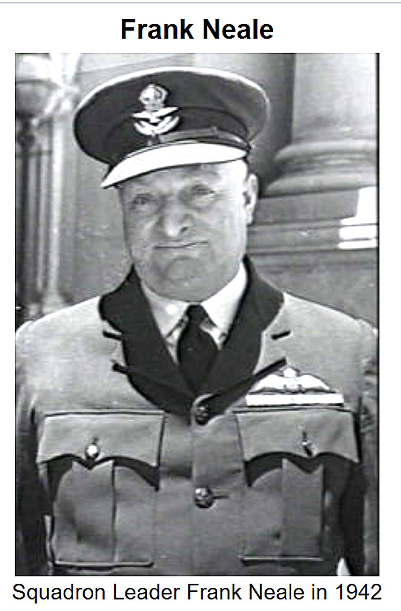
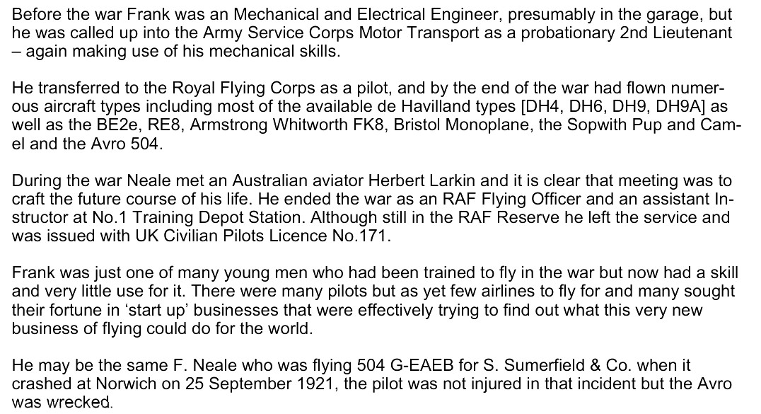
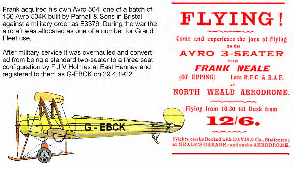
The biographical info was obtained from; policeaviationnews.info.
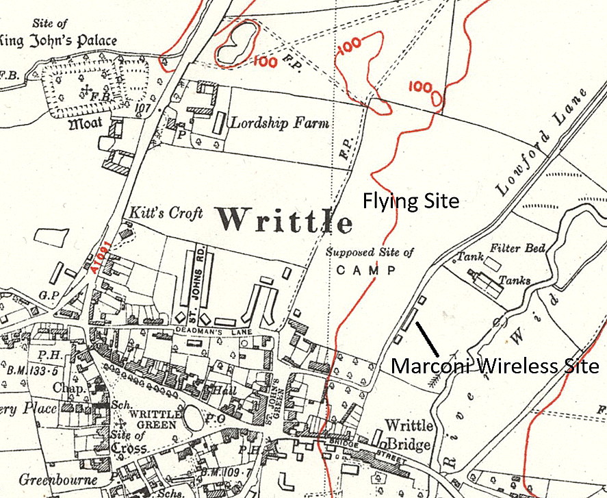
THE MARCONI WIRELESS STATION
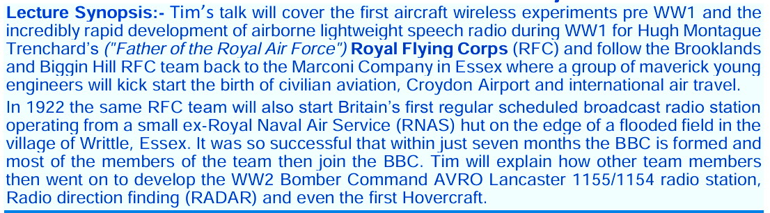
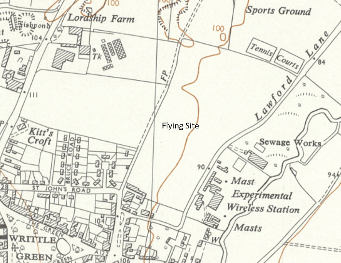
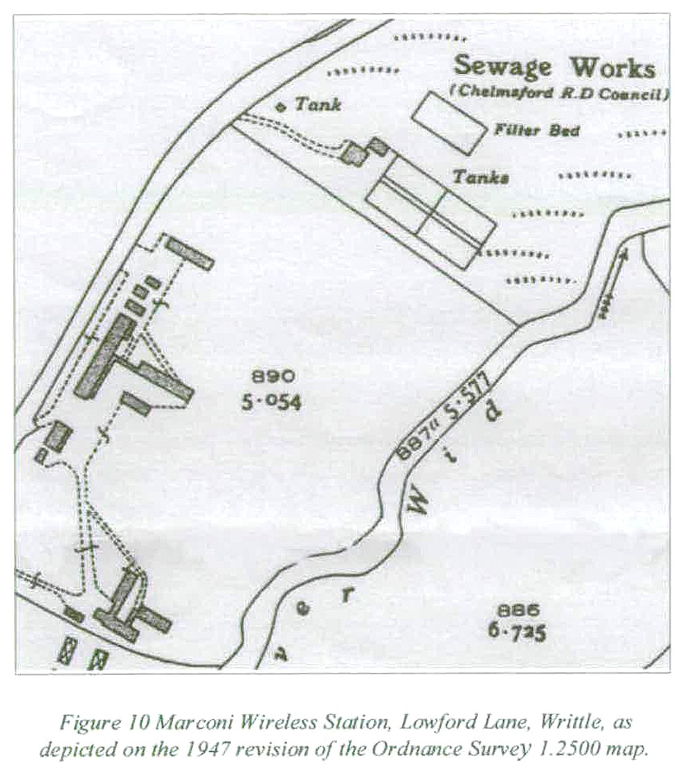
The excerpt is from; 'Writtle - The development of Airborne Wireless for the RFC' by Tim Wander.
The site map is from Buildings of the Radio Electronics Industry in Essex.
AN EXTRA BONUS ITEM
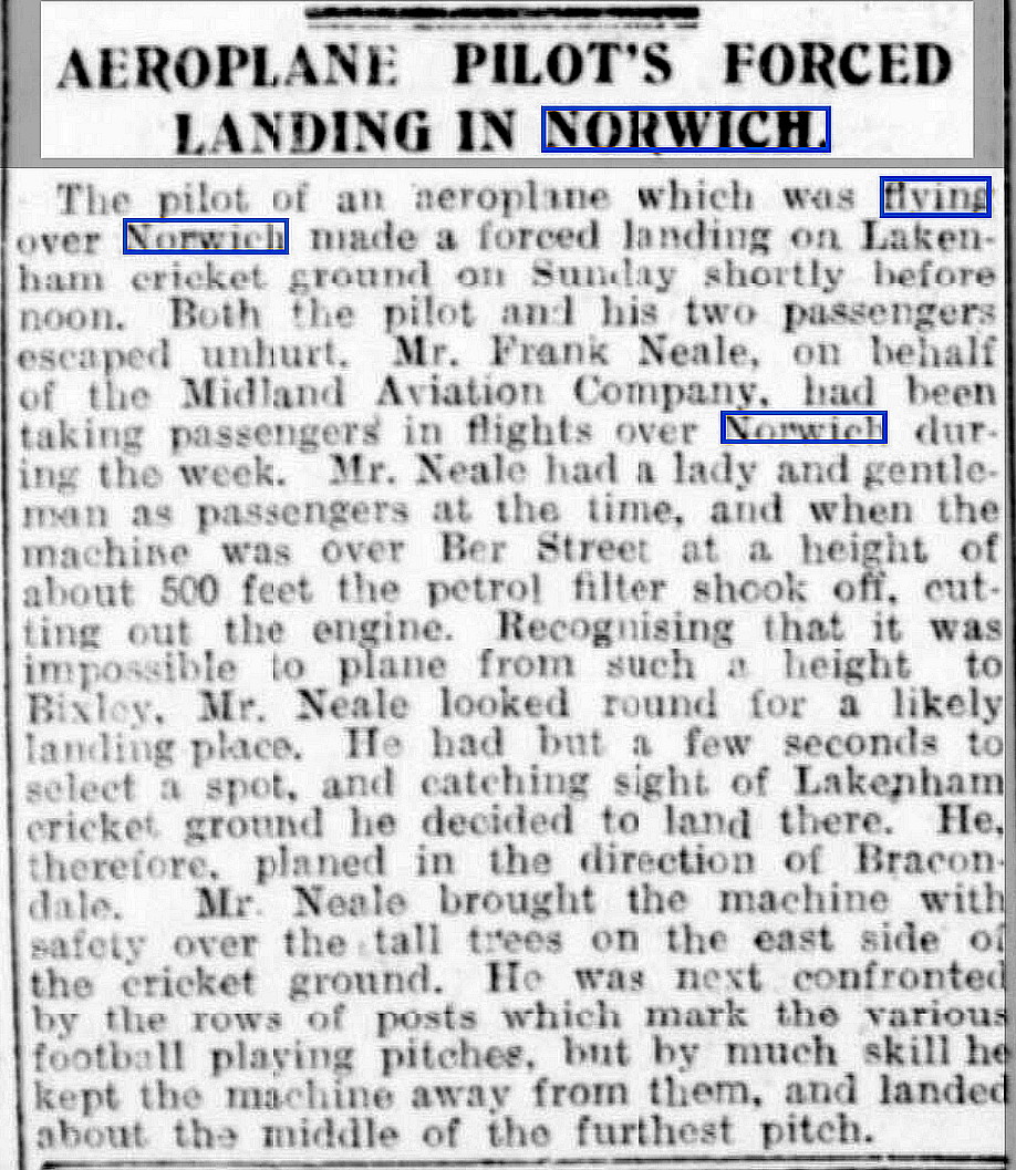
Mike also found, searching through the press archives for 1921, this article published in the Suffolk Chronicle on the 30th September 1921.
The Avro 504 types, the 504K being the most produced model, were all designed to be fitted with rotary engines and having it appears an engine mount designed to take a variety of engines from various manufacturers. The fact that they were mechanicaly very basic, and with plentiful "cheap" spares available much endeared the 504 to the joy-riding operators, right up to almost WW2.
Indeed, I have seen numerous reports and photos of these engines being stripped down for a major overhaul out in the open in a field, and this sometimes being performed overnight by torchlight. However, such attributes do not coincide comfortably with reliabilty issues, as this example proves.
We'd love to hear from you, so please scroll down to leave a comment!
Leave a comment ...
Copyright (c) UK Airfield Guide
