


Mersham
MERSHAM: Private airstrip
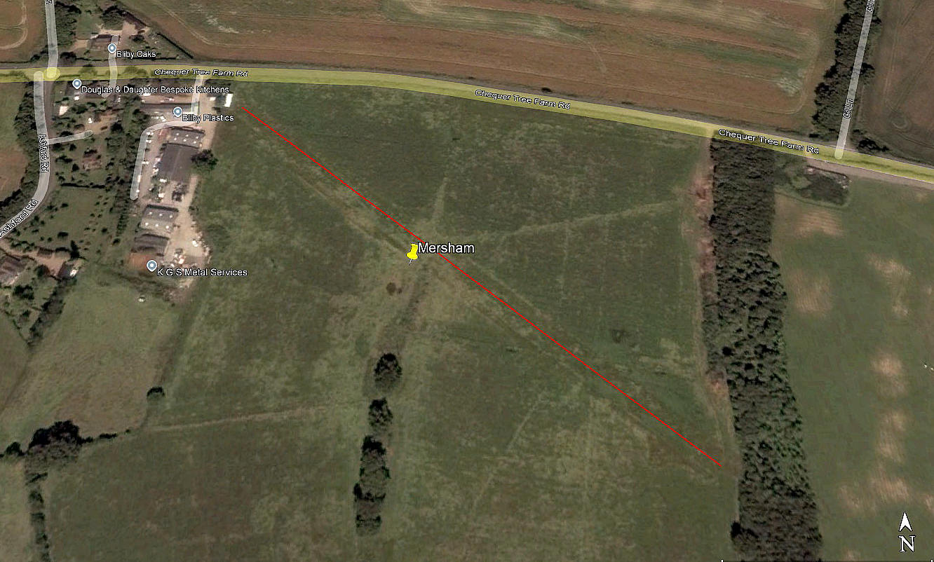
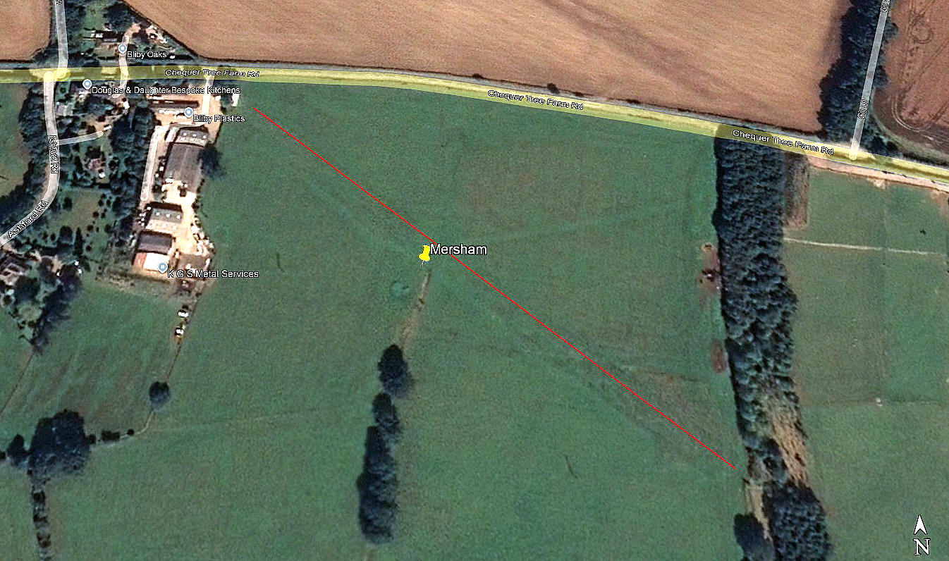
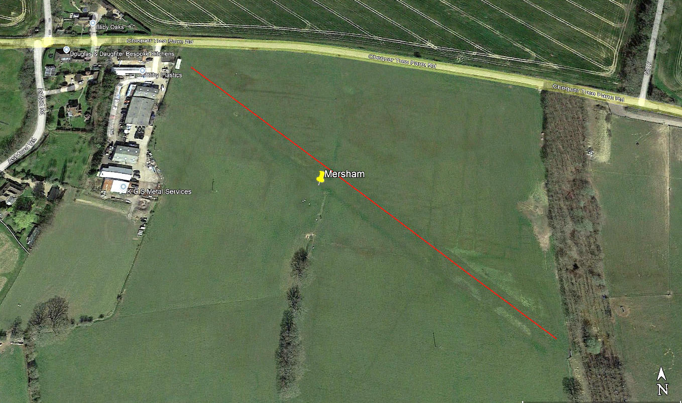
The first three pictures are from Google Earth ©. The area view is from my Google Earth © derived database.
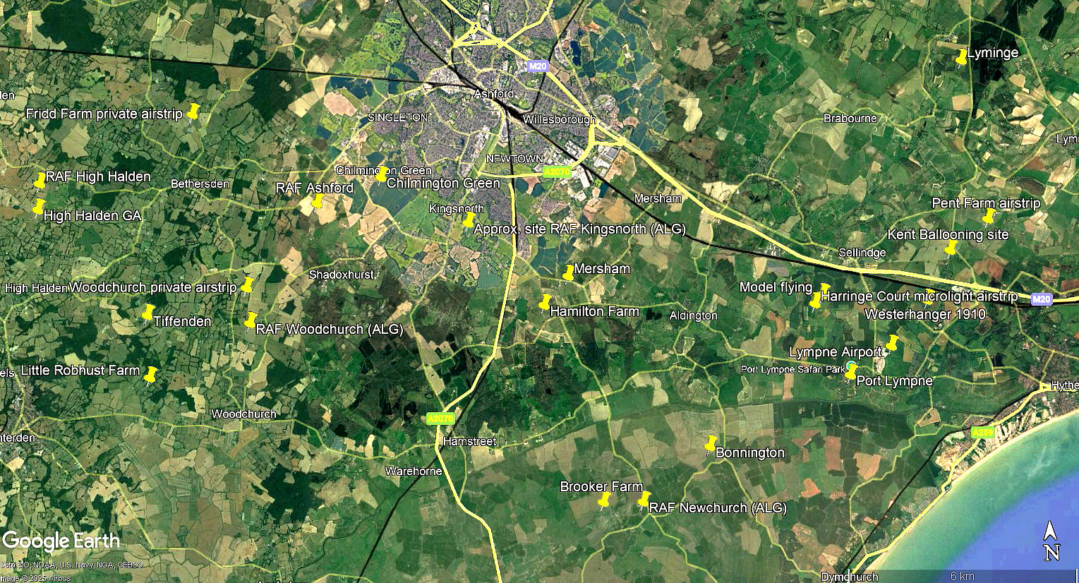
Location: Just N/NNE of Stone Cross, roughly 3nm SSE of Ashford town centre
Period of operation: From 2014 to -
Runway: 13/31 350 grass
NOTES: One of the pleasures, (and frustrations), of producing this 'Guide' is that quite often it can pose questions, rather than providing answers.
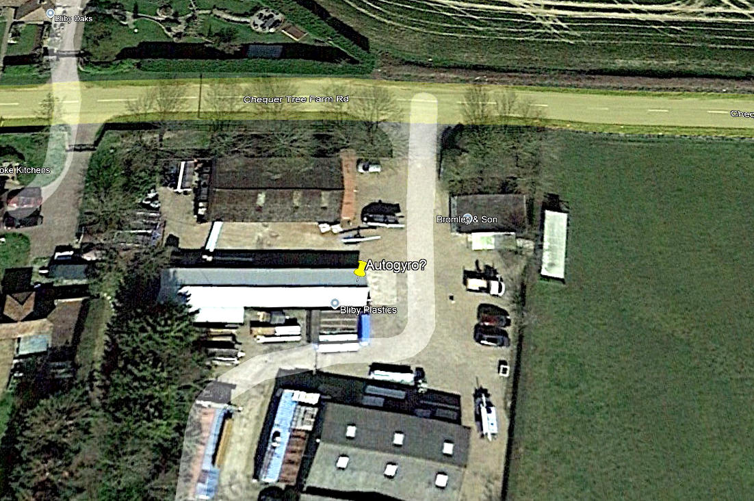
In April 2025 Mr Graham Frost, a great friend of this 'Guide', sent me a Google Earth picture this location. Question being, is it actually a runway? My approach to such a question is strictly scientific of course, usually relying on well proven methods of deduction. Such as, if it looks like a duck, waddles like a duck and quacks like a duck - it probably is a duck. But, in this case - is it?
I did wonder what to label this listing as? I chose MERSHAM simply because of the postal addresses for businesses based here, although, according to maps, MERSHAM is some distance away to the north.
The detail picture appears to show an autogyro, perhaps even two? I was never good at arithmetic at school, often arriving at the equation that 2+2=5. (At least). Perhaps the case here? If anybody can kindly offer advice, this will be most welcome.
We'd love to hear from you, so please scroll down to leave a comment!
Leave a comment ...
Copyright (c) UK Airfield Guide
