














Muir of Linksfield
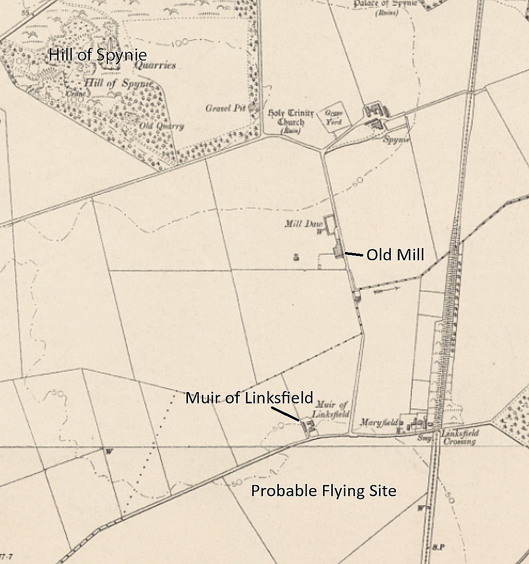
MUIR of LINKSFIELD: Temporary aerodrome
Operated by: Mr W A Hadden
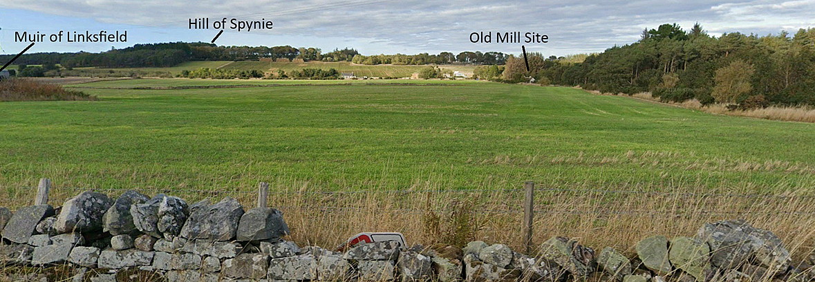
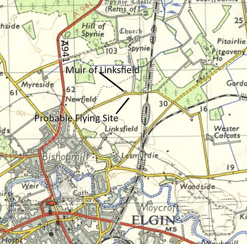
Location: E of the A941, roughly 1.25nm NNE to NE of Elgin town centre
Period of operation: 17th to 20th, then 24th and 25th September 1921
A MICHAEL T HOLDER GALLERY
Here once again, we have Mike Holder, a great long-term friend of this 'Guide', to thank for both discovering this little known venue and providing the following items to illustrate the listing.
AN ARTICLE PUBLISHED IN THE NORTHERN SCOT and MORAY & NAIRN EXPRESS
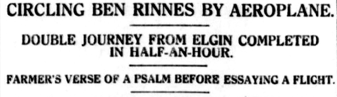
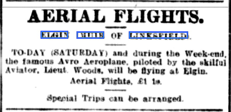
This article, and the Notice were both published on the 24th September 1921. It is unfortunate that sometimes those employed to make scans of newspaper articles etc, take no pride whatsover in their work and in this case I suspect they didn't even bother to look at the scans.
The results were so poor for the main text that they were, to all intents and purposes illegible. No doubt places like some research institutes have facilities that can provided fabulous results costing millions, but Mike and I have more modest means. We both had a bash at improving the images and, although we live at opposite ends of the U.K., (which of course makes no difference technically), came up with very similar results. So, dear reader, we trust that although far from ideal, the end results are now legible.
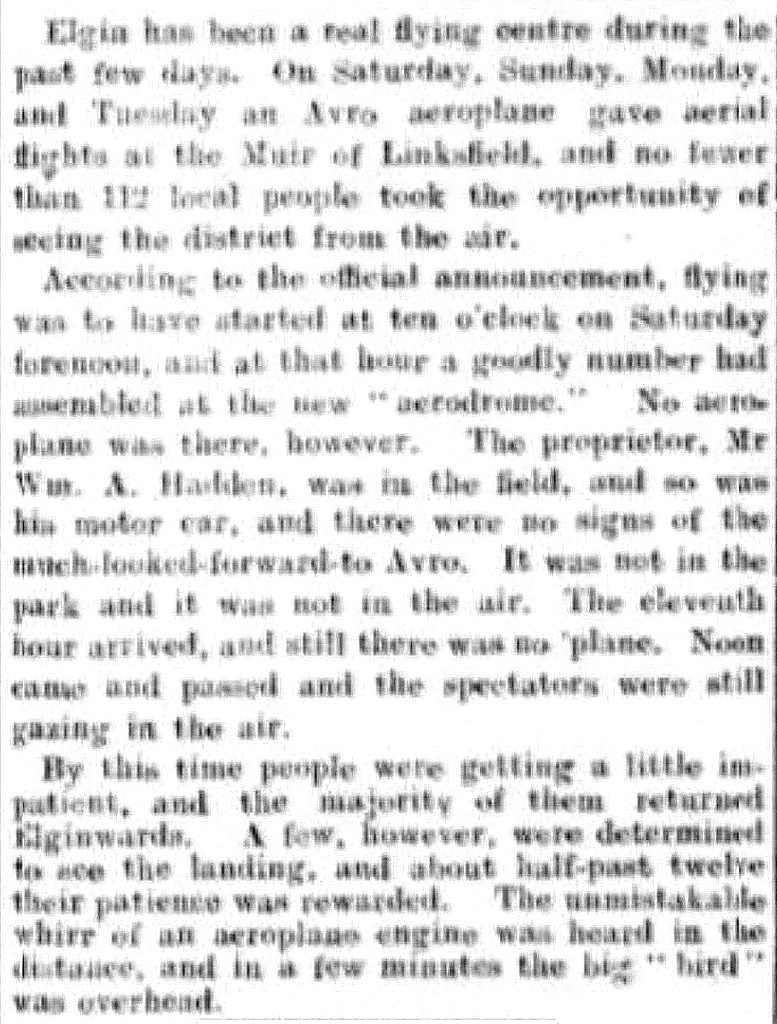
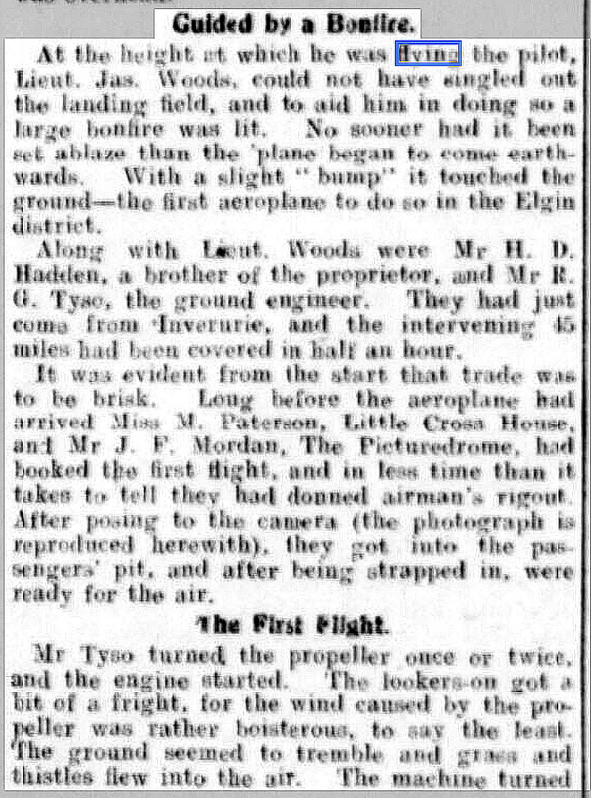
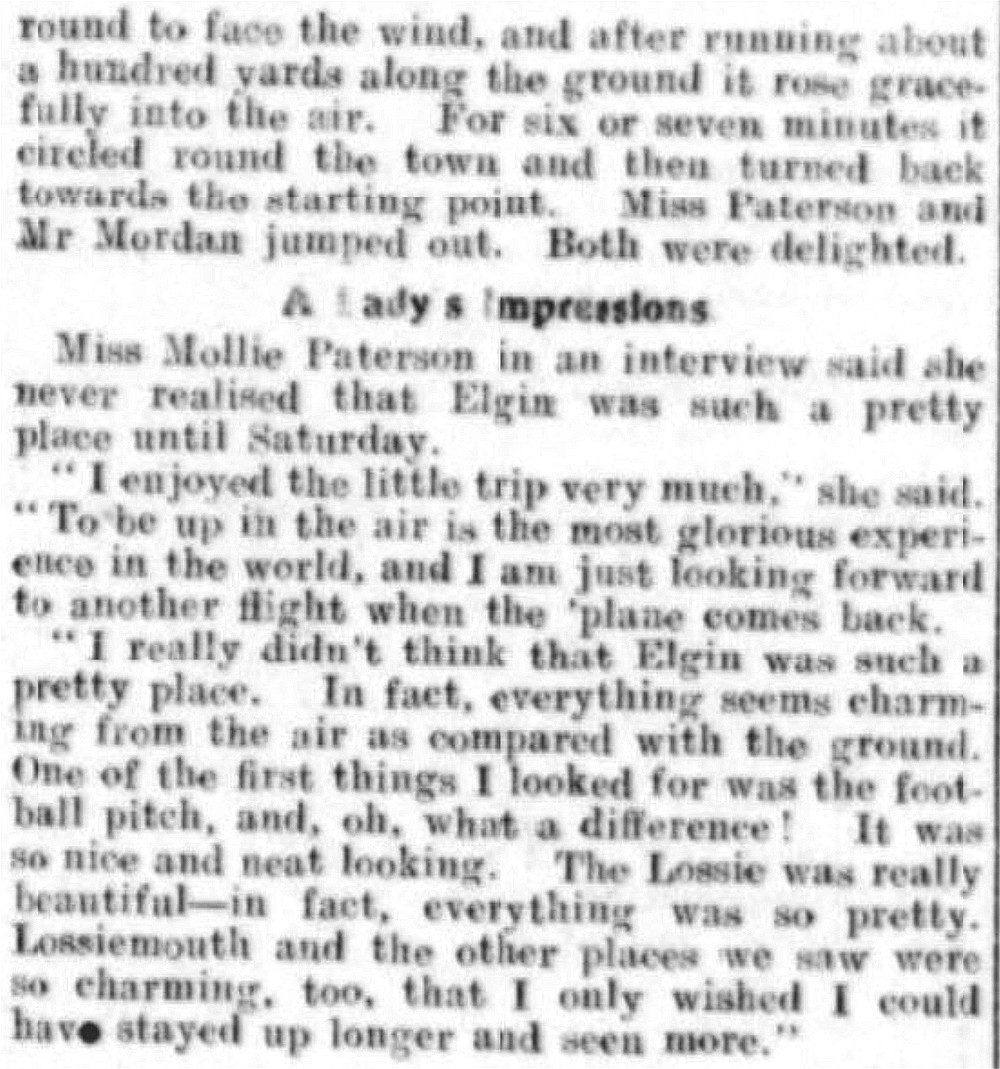
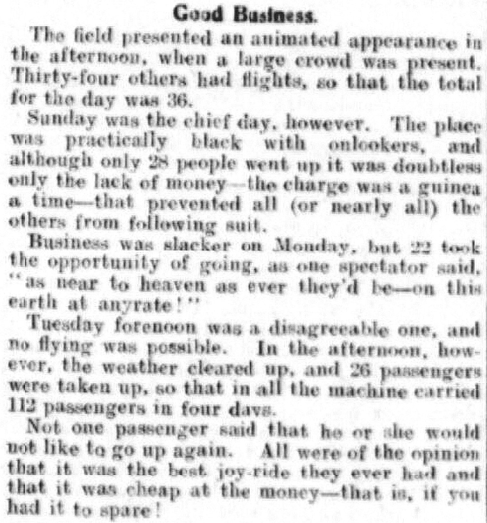
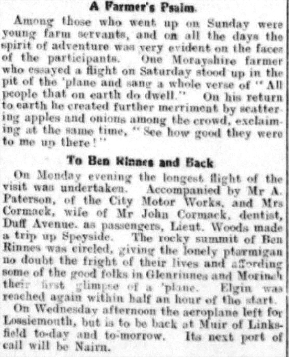
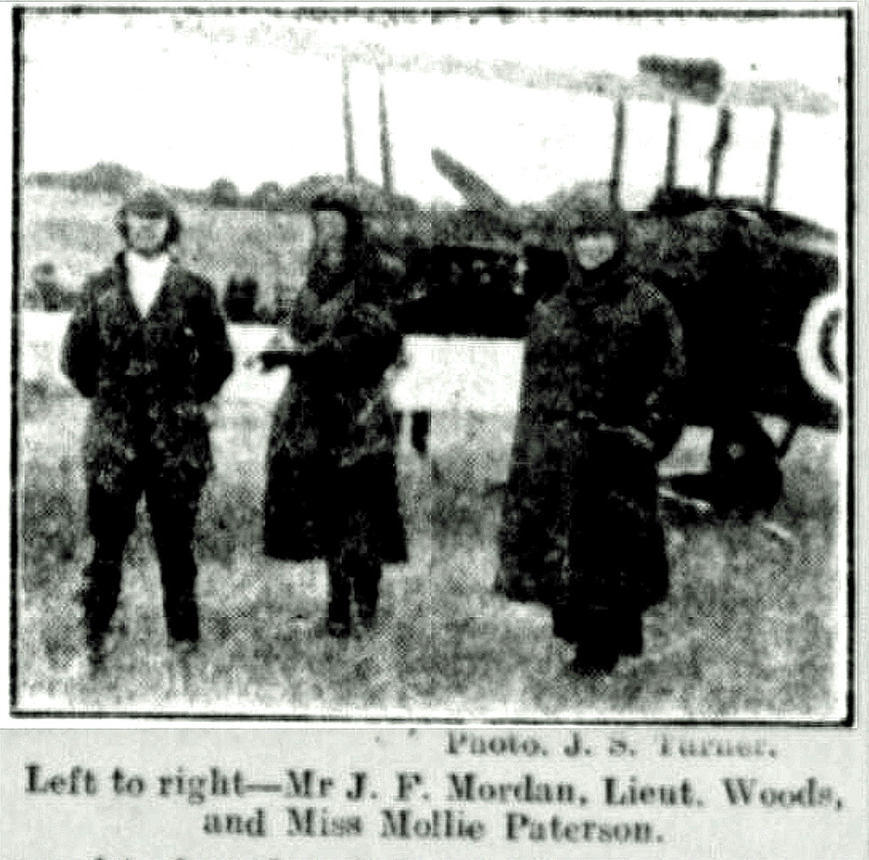
NOTE: In my original notes I nade this comment "I did make a few half-hearted attempts on the inter-web to see if any info was posted regarding the "Avro" Lt. Woods was using, but as expected there was nothing. Without too much doubt it was most probably a 504K, or perhaps a 504N? Such a shame that the photo in the article does not include the registration. Hardly important of course, unless you are trying to become a 'Nerd' as I am".
THE ANSWER
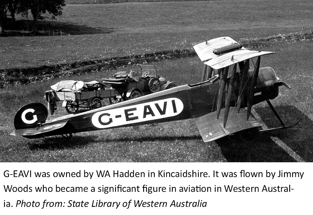
Upon reading this Mike Holder quickly investigated the subject and soon had the answer. The location is not known but this photo is part of the collection in the Library of Western Australia, and Mike found it via Airhistory.net.
G-EAVI (ex E1644) was registered to Mr W A Hadden from 23.03.20 until being declared WFU (Withdrawn From Use), 12.08.24. So, it now appears that Mr Hadden was the owner and organiser, employing Lt. Woods as the pilot.
This is another good example of how difficult it can sometimes be interpreting historical records. When I read article Part One above, I assumed that "the proprietor", Mr Hadden, owned the field being used rather than the aeroplane. Another detail caught my eye, this being that the caption in this picture states that Mr Hadden was "in Kincaidshire". Really? This "County" does not, and has not existed - and I made quite certain this was the case - finding along the way many mentions of it. Have come to the conclusion that this spelling is an often used abbreviation of KINCARDINSHIRE which is south of Aberdeen.
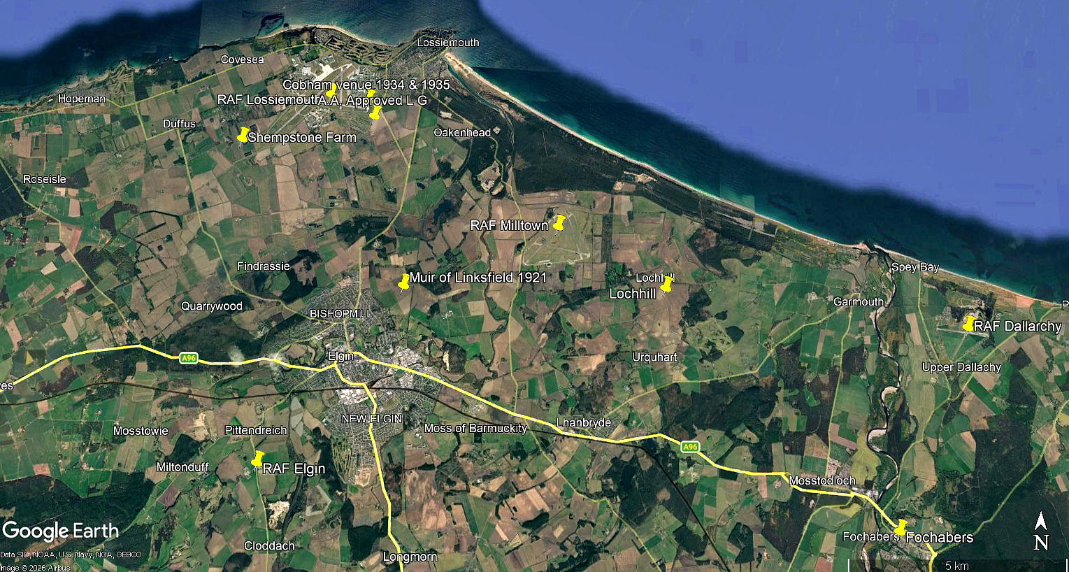
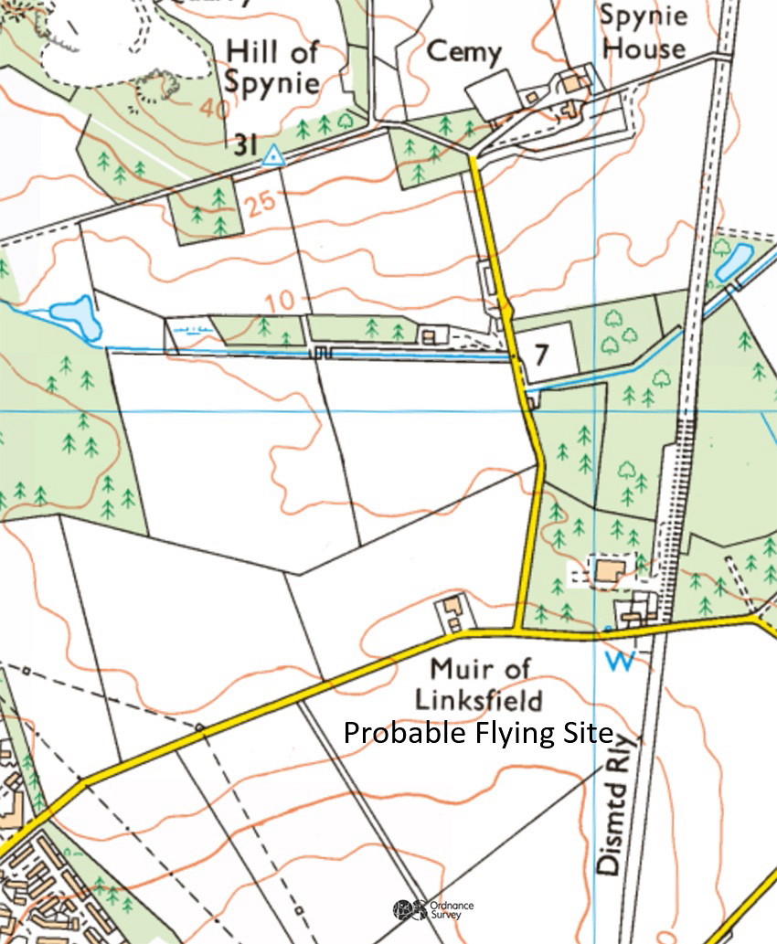
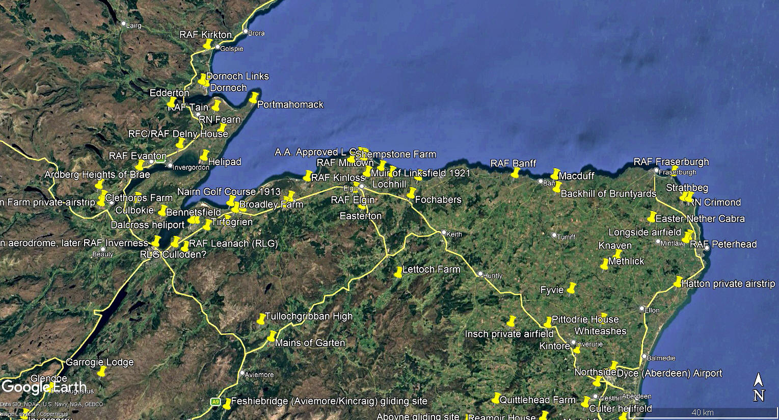
The local area view and area view are from my Google Earth© derived database.
We'd love to hear from you, so please scroll down to leave a comment!
Leave a comment ...
Copyright (c) UK Airfield Guide
