


Pond Farm
POND FARM: Private airfield (Aka CARLETON St PETER)
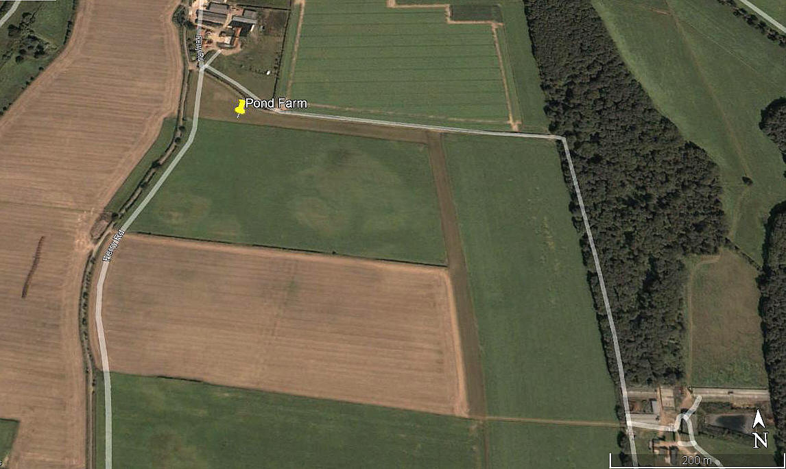
Aerial view 2003
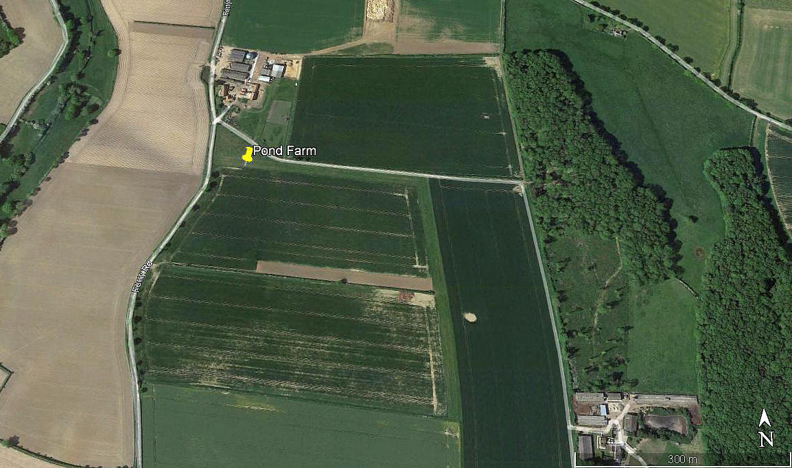
Aerial view 2021
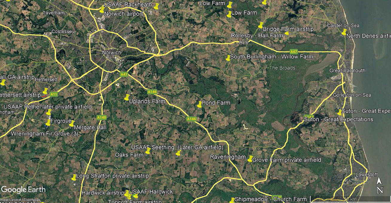
Area view
Note: These three pictures were obtained from Google Earth ©
Location: Just S of Carleton St Peter, N of the A146, roughly 8nm SE of Norwich city centre
Period of operation: c.2003 to -
Runways: 10/28 350 grass 18/36 380 grass
NOTES: The first picture above appears to show the airfield when it was first laid out, and before the grass had grown on the two runways.
As always in this 'Guide', if anybody can kindly offer advice and information, this will be most welcome. Plus of course, pictures are always much appreciated.
We'd love to hear from you, so please scroll down to leave a comment!
Leave a comment ...
Copyright (c) UK Airfield Guide
