


Shiplake
SHIPLAKE: Private airstrip
Note: Both of these pictures were obtained from Google Earth ©
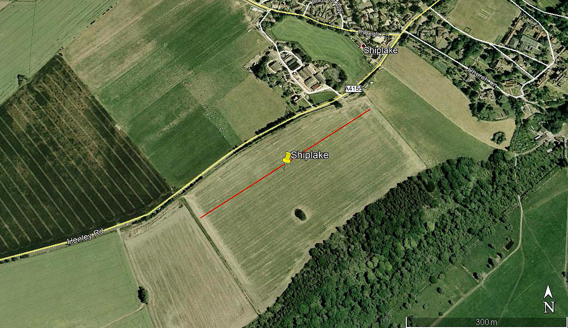
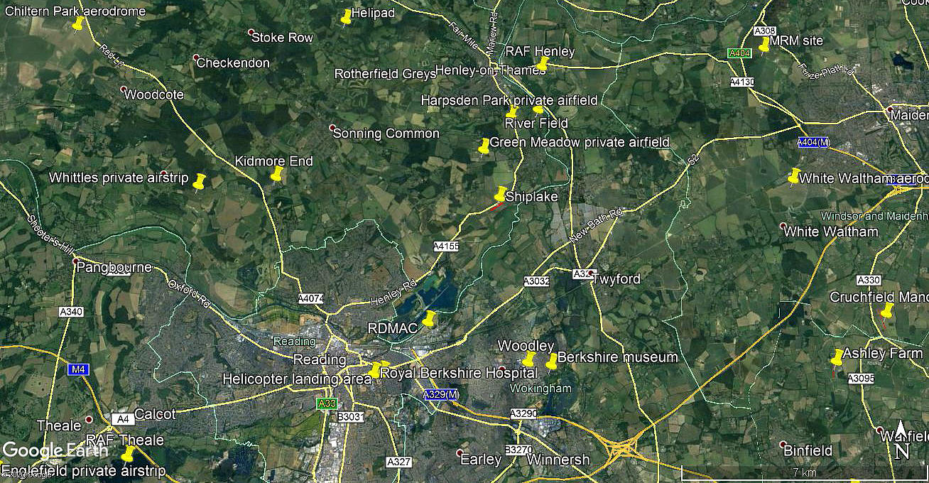
Location: Just S of the A4155 and just SW of Shiplake village. 2.5nm S of Henley-on-Thames town centre and 4.5nm NE of Reading town centre
NOTES: We have Mr Graham Frost, a great friend of this 'Guide' to thank for this information. He tells us that the Cessna 182H G-ATCX was often seen parked in the field on the south side of the A4155 just south of Shiplake village. Probably in the 1970s? He also tells us that G-ATCX may not have been the only Cessna to use this site.
Having had a look at Google Earth images, there only appears to be one field that would be suitable - and this is marked on the first picture above. If correct this field could have had a strip orientated SW/NE and around 440 metres long. Quite enough for a lightly laden Cessna182.
A trawl through the records of owners of G-ATCX reveals no address anywhere near here, so presumably it was making regular temporary visits. If anybody can kindly offer advice, this will be much appreciated.
The geography is quite interesting as it shows that the strip was just inside the SE corner of OXFORDSHIRE, bordering BERKSHIRE.
MAY I HAVE A WHINGE PLEASE?
I cannot of course complain, as nobody forced me to start this project - but County boundaries are always a major problem in one respect. This being the creation of so many completely false 'Counties' for purely administrative purposes. As often as not shown on modern maps and so often changing to some extent. In this 'Guide' the County listed first is the correct County. Only an Act of Parliament can change this and I am not aware of this every happening.
We'd love to hear from you, so please scroll down to leave a comment!
Leave a comment ...
Copyright (c) UK Airfield Guide
