Strath Farm - UK Airfield Guide

Now having 7,000 + listed!

Probably becoming the most extensive British flying sites guide online...?

portfolio1 portfolio2 portfolio3 portfolio4

Heading 1

This is an example of the content for a specific image in the Nivo slider. Provide a short description of the image here....

Heading 2

This is an example of the content for a specific image in the Nivo slider. Provide a short description of the image here....

Heading 3

This is an example of the content for a specific image in the Nivo slider. Provide a short description of the image here....

Heading 4

This is an example of the content for a specific image in the Nivo slider. Provide a short description of the image here....

small portfolio1 small portfolio2 small portfolio3 small portfolio4
themed object
A Guide to the history of British flying sites within the United Kingdom
get in touch

Strath Farm


STRATH FARM: Civil regional airport
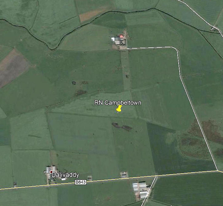
Aerial view
Aerial view

Note: This picture (2007) was obtained from Google Earth ©


Location: Roughly 2nm W of Campbeltown town centre


NOTES: An account in his book Air Ambulance by Iain Hutchison clearly indicates that during WW2 civilian flights serving Campbetown were not using the military airfield, MACHRIHANISH.

However, there was a Royal Navy Fleet Air Arm grass airfield, in or on STRATH FARM, known as RN CAMPBELTOWN, so perhaps this is what was used?  


Answer?    See CAMPBELTOWN listing for much more extra info, maps and pics.


We'd love to hear from you, so please scroll down to leave a comment!


Leave a comment ...


Name
 
Email:
 
Message:


Copyright (c) UK Airfield Guide


slide up button